Moving from west to east through Bhutan is less about moving across the country and more about moving up and down through the country. Deep valleys are all carved out of the Himalayas in a north-south orientation with steep, imposing ridges separating them.

It is easy to understand the relative isolation of each valley, resulting in unique dialects (or even separate languages) and cultural traditions. You can appreciate on the map how the major road cuts across this imposing landscape.
To move from Thimpu to the Punakha valley took hours as the road wound its way, literally cut out of the edge of the mountain.
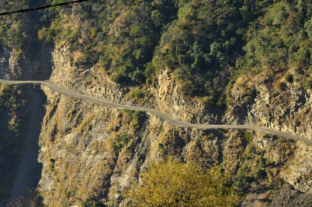 This google photo only hints at the dangers of this road. It is nerve wracking when two vehicles pass each other on this 1 1/2 lane road, driving so close to the edge that you cannot see the road out the side window, only the drop.
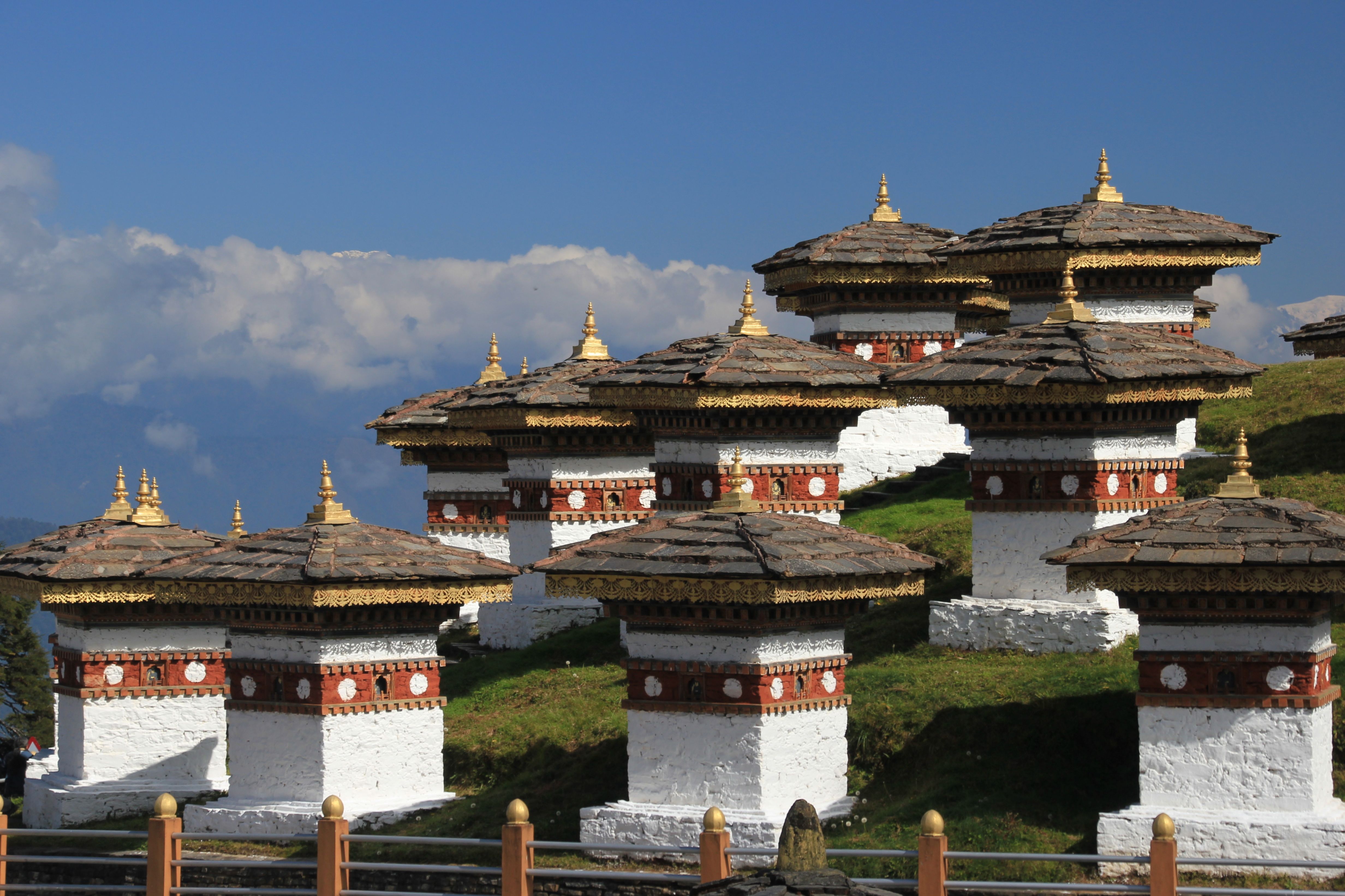
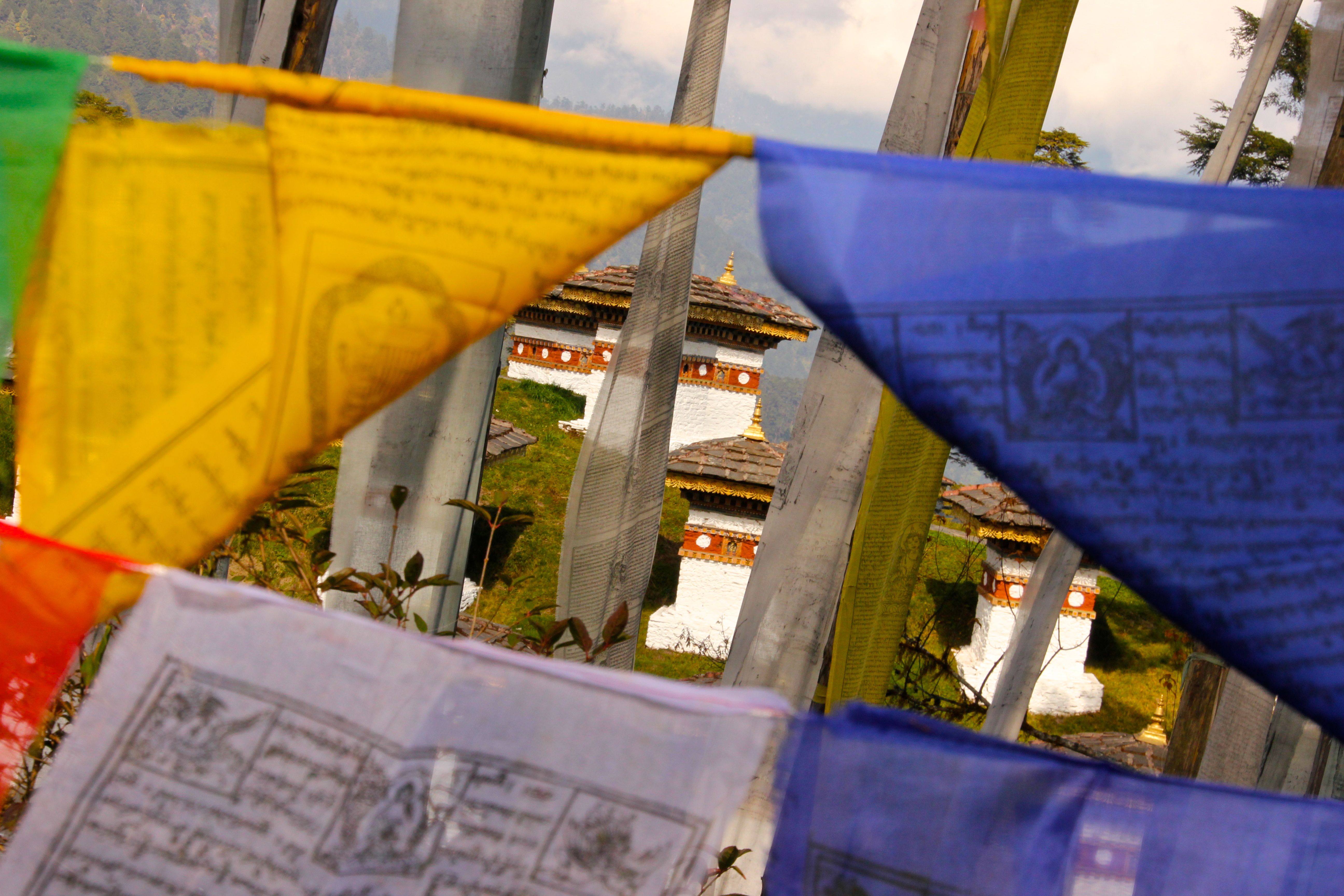
In between these two valleys is Dorchula Pass, the highest pass on the road at over 10,000 feet above sea level. On the pass is a monument of 108 chortens.
 A “chorten” is a Bhuntanese “stupa” (a Buddhist shrine)

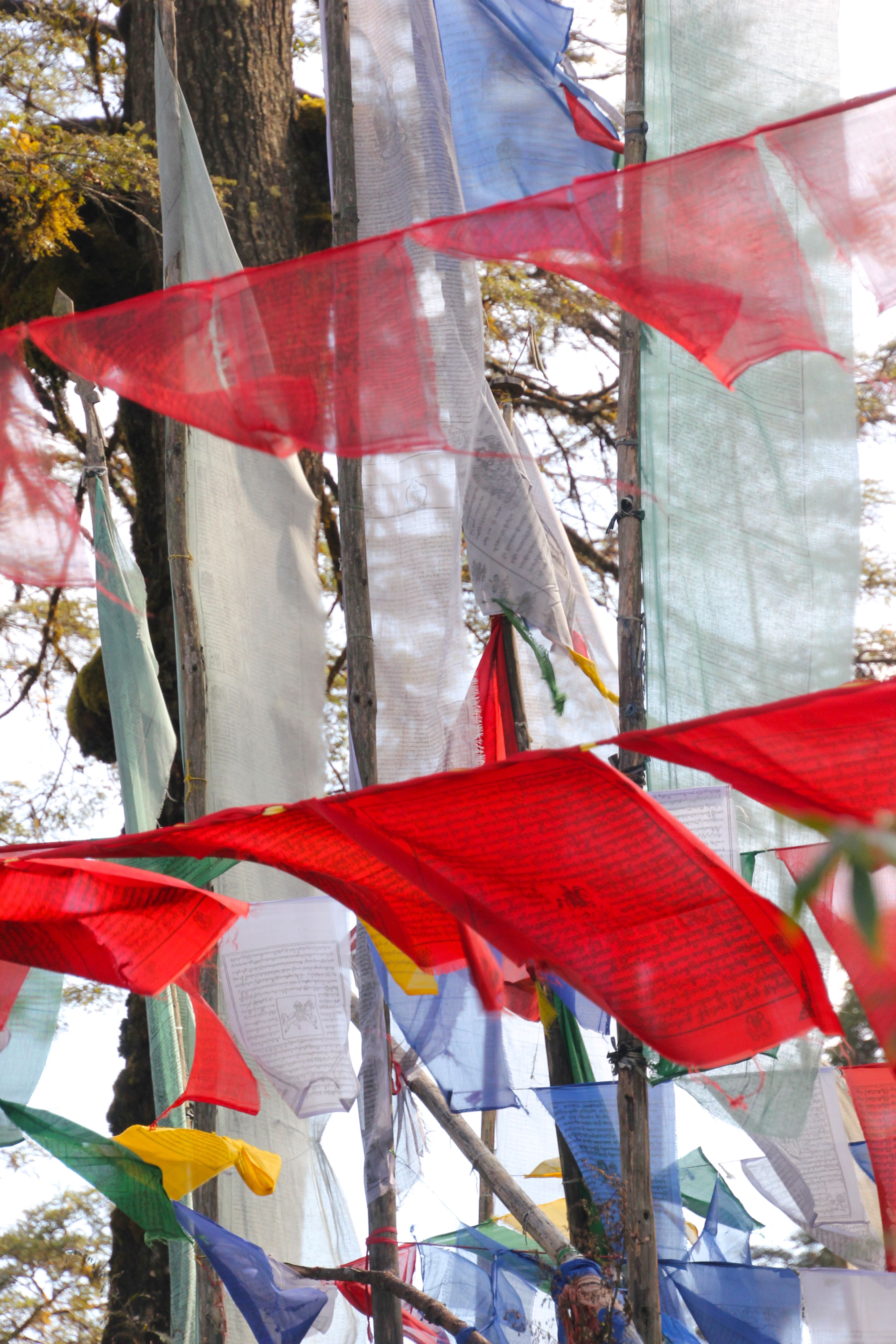
 On the pass, near the chortens are heaps of prayer flags flapping in the wind.
 Prayer flags are hung in windy areas, such as mountain ridges and passes, thought to have originated from shamanistic Bon, the pre-Buddhist religion of Tibet. The combination of the flags and the wind allows blessings and good will to be spread across the land.
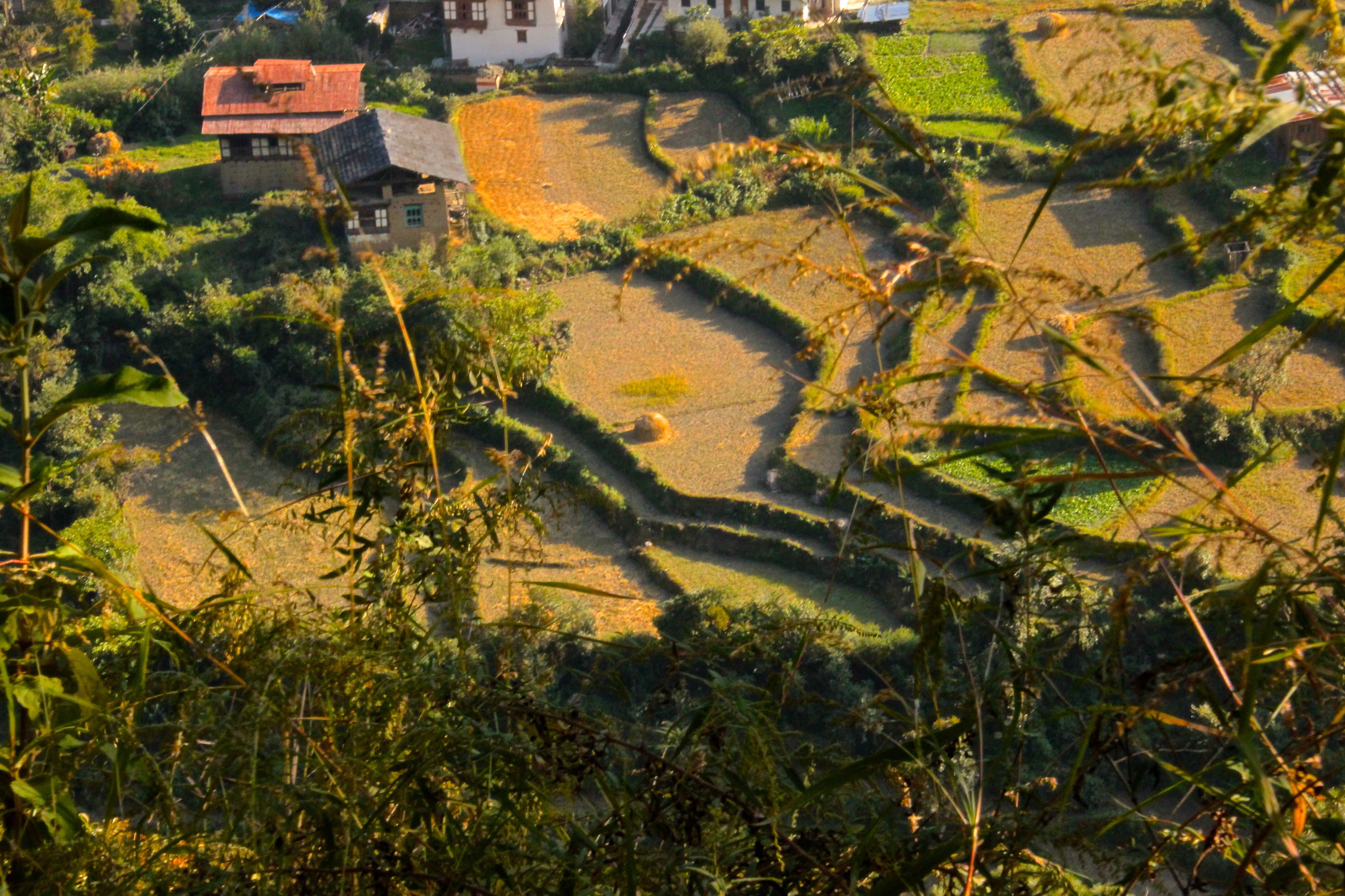
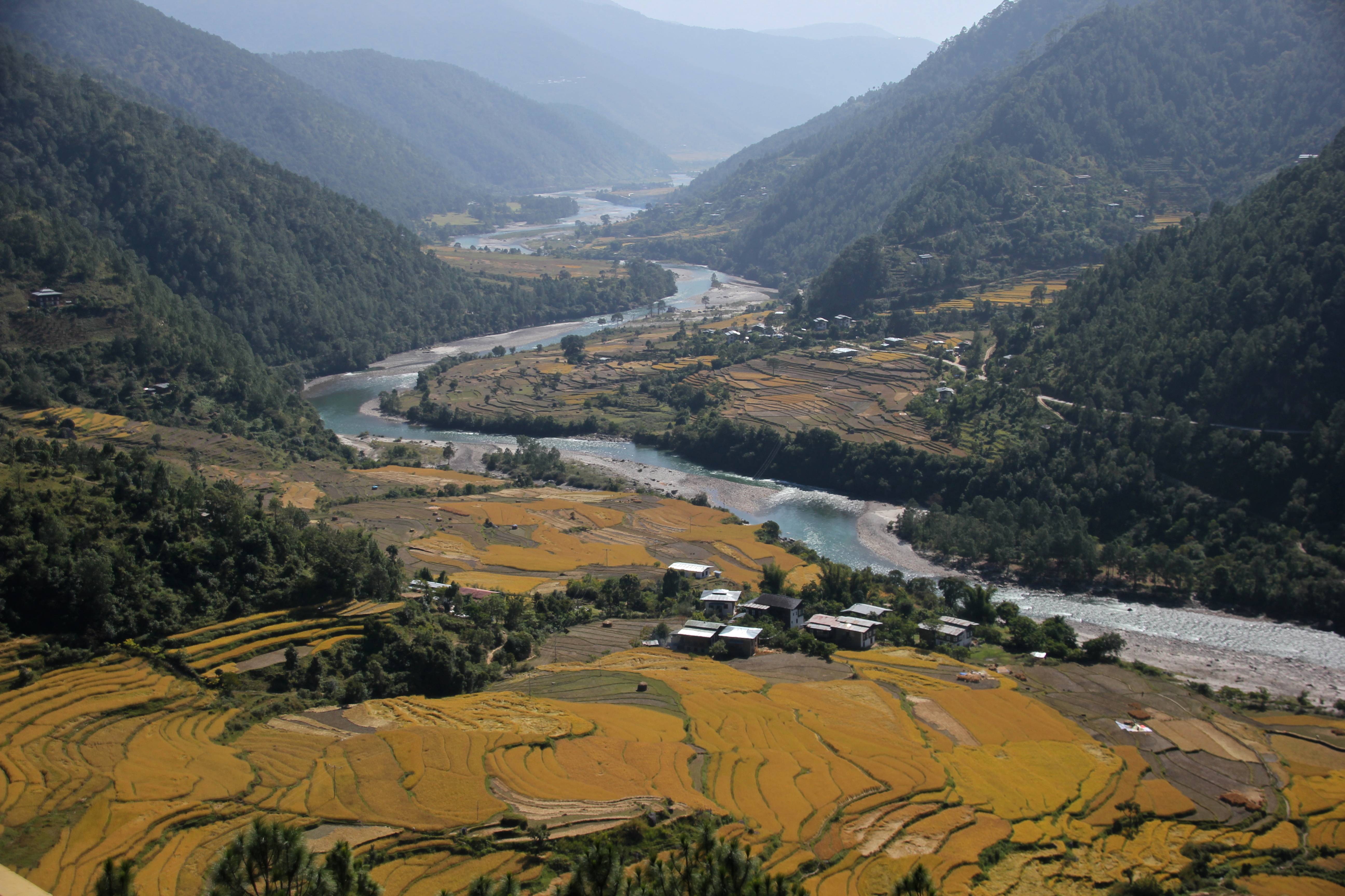
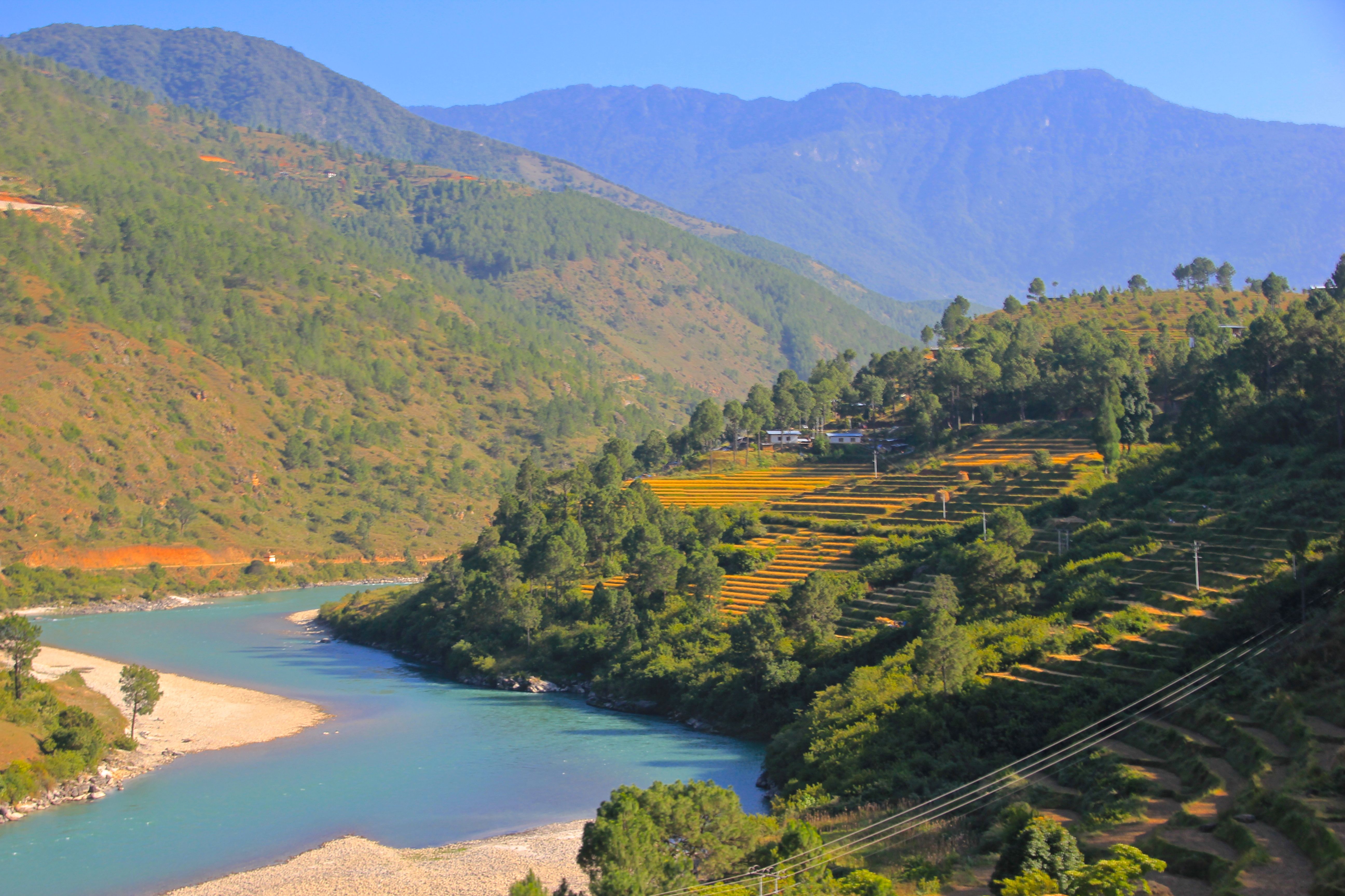
 After some more crazy, edge of the cliff driving, we were dropped off to walk for several hours to our hotel in the Punakha Valley. We got our first glimpse of the traditional agricultural lifestyle, the terraced rice paddys are a view seen throughout many places in the developing world.
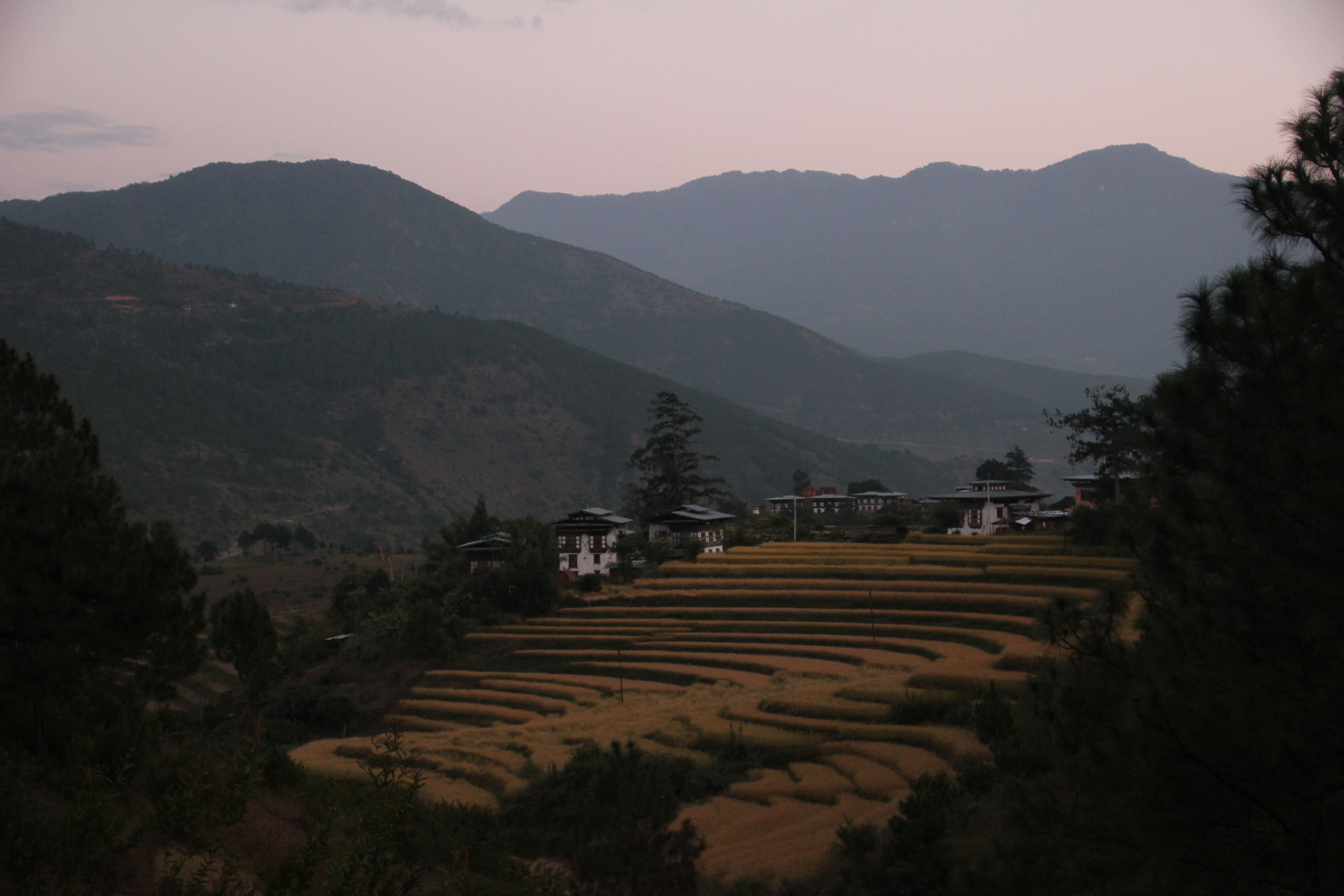
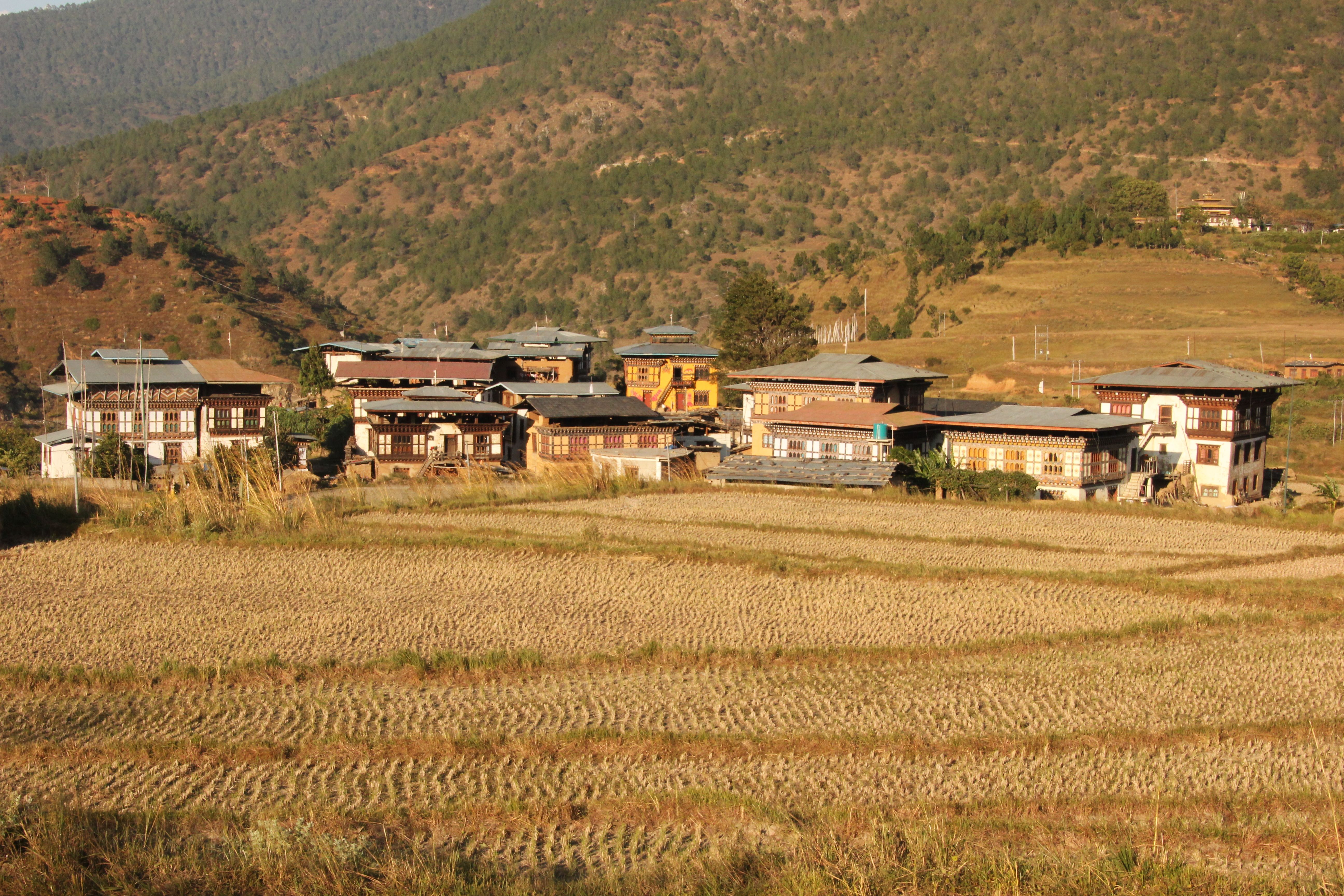
 The view from our hotel at day’s end was lovely
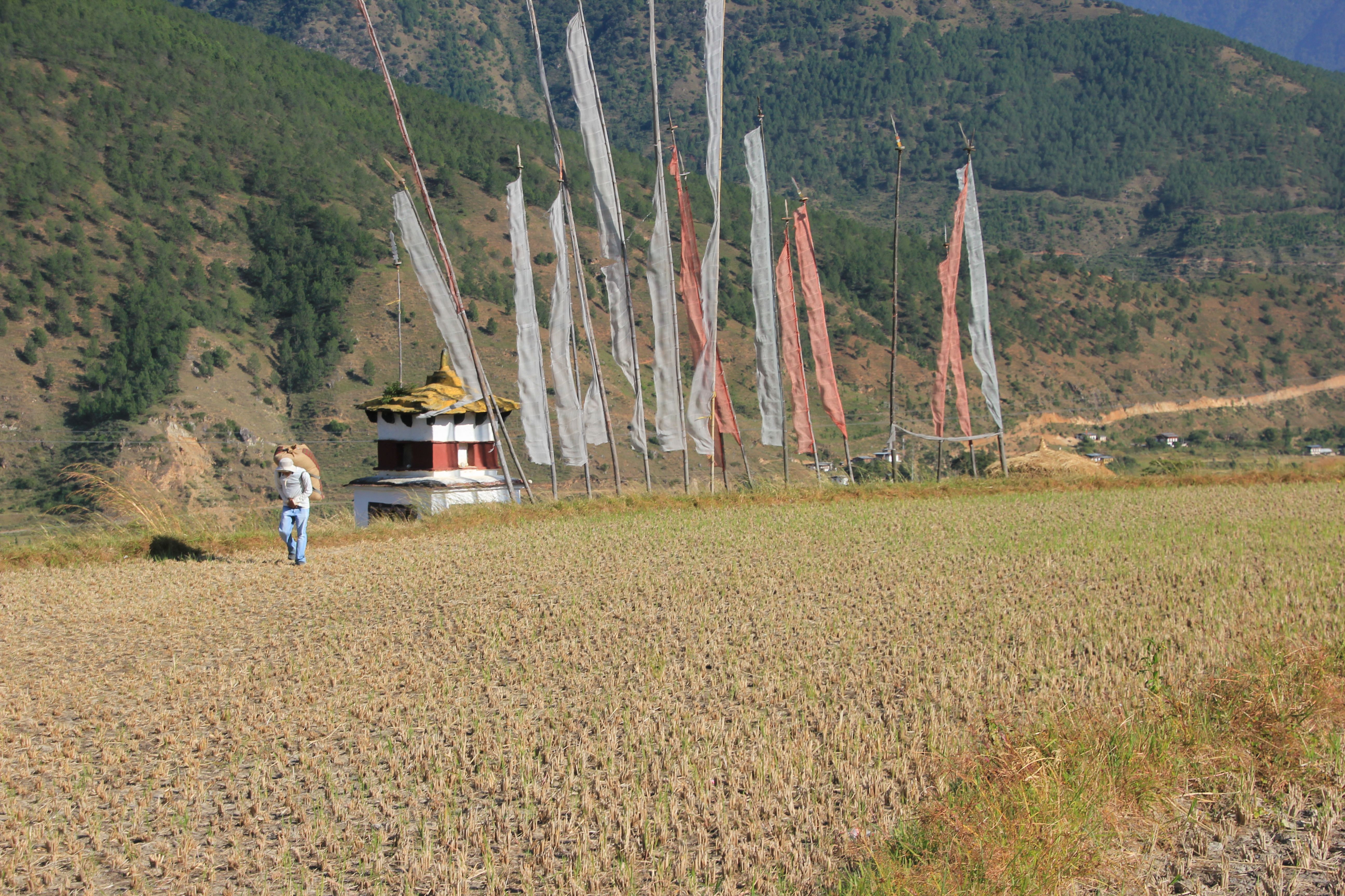
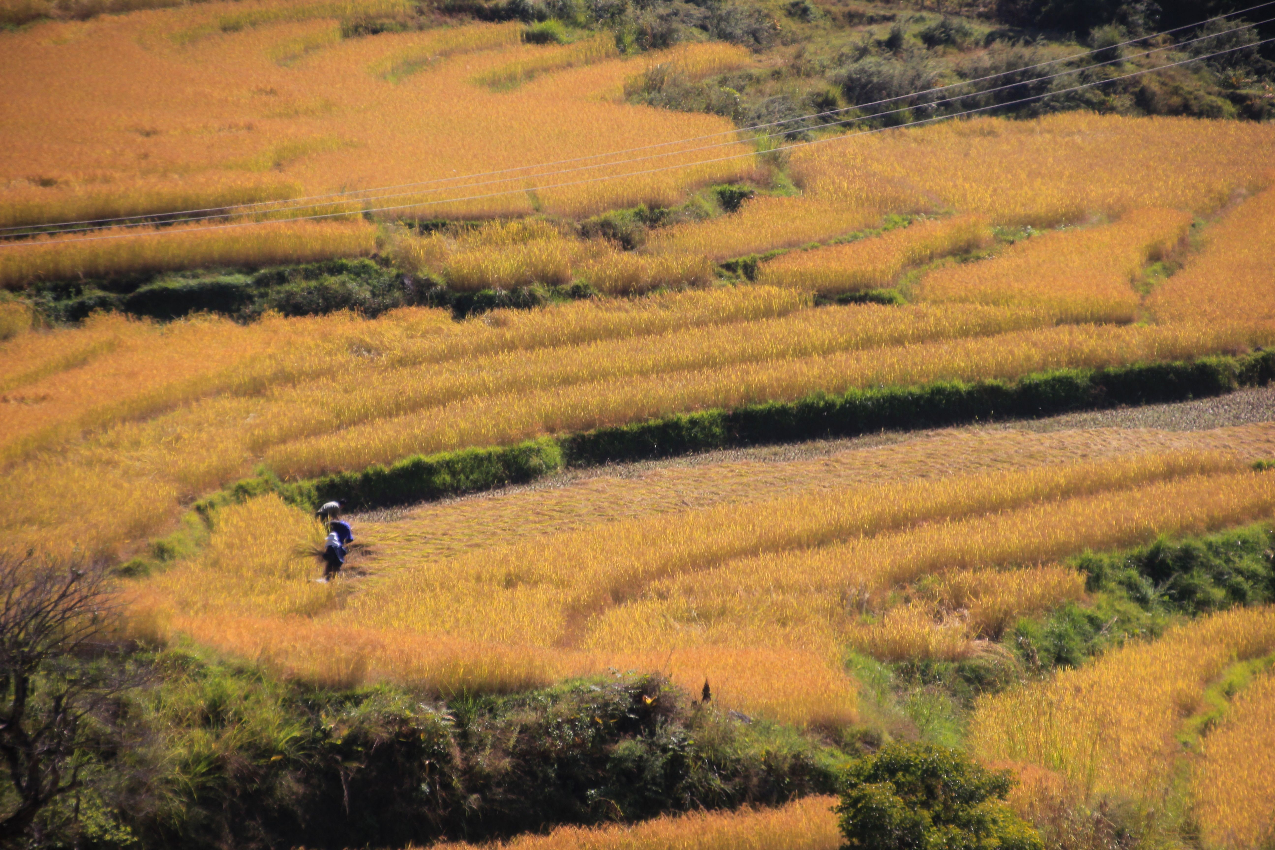
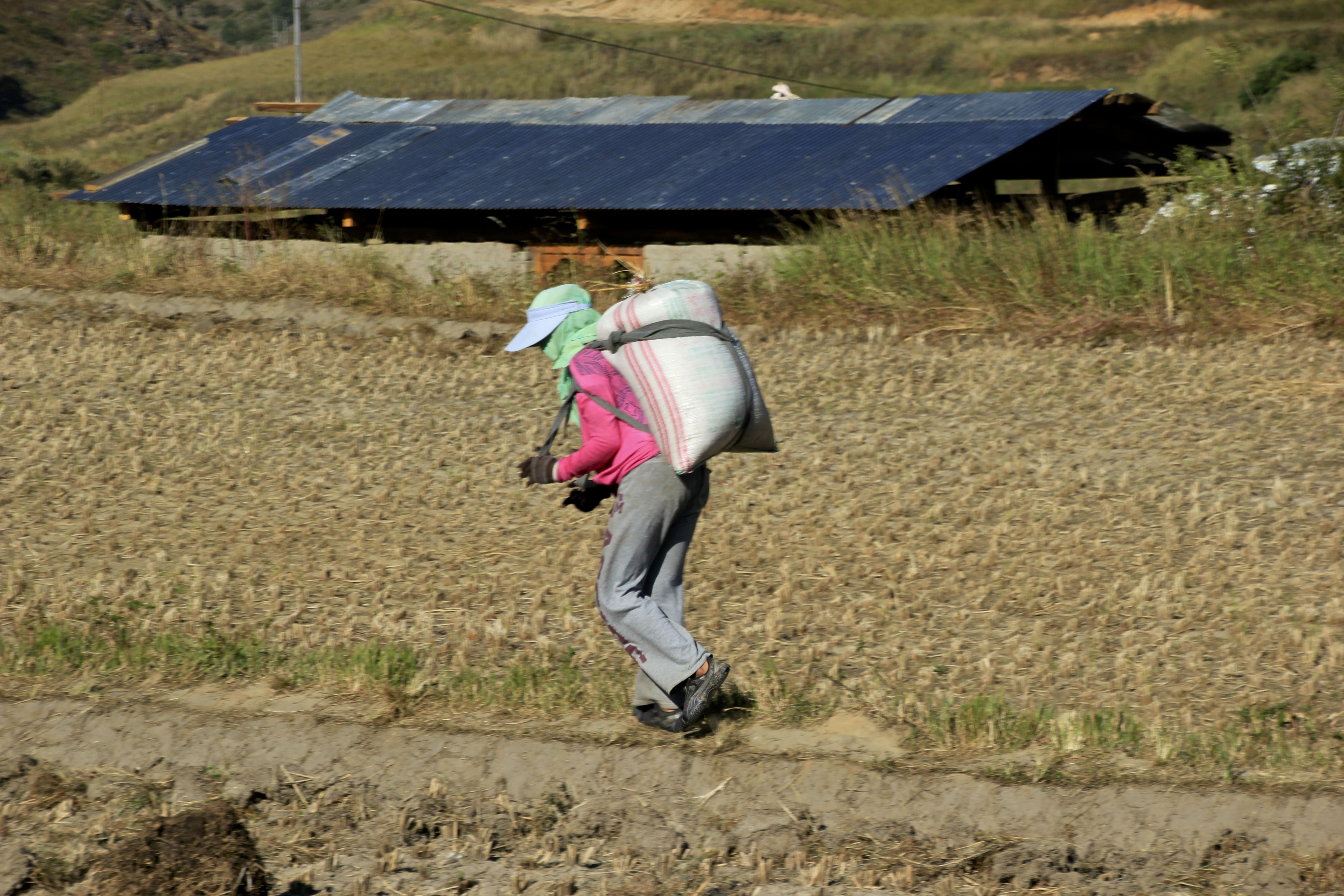
 In the Punakha valley, life on the land went on as it has for centuries
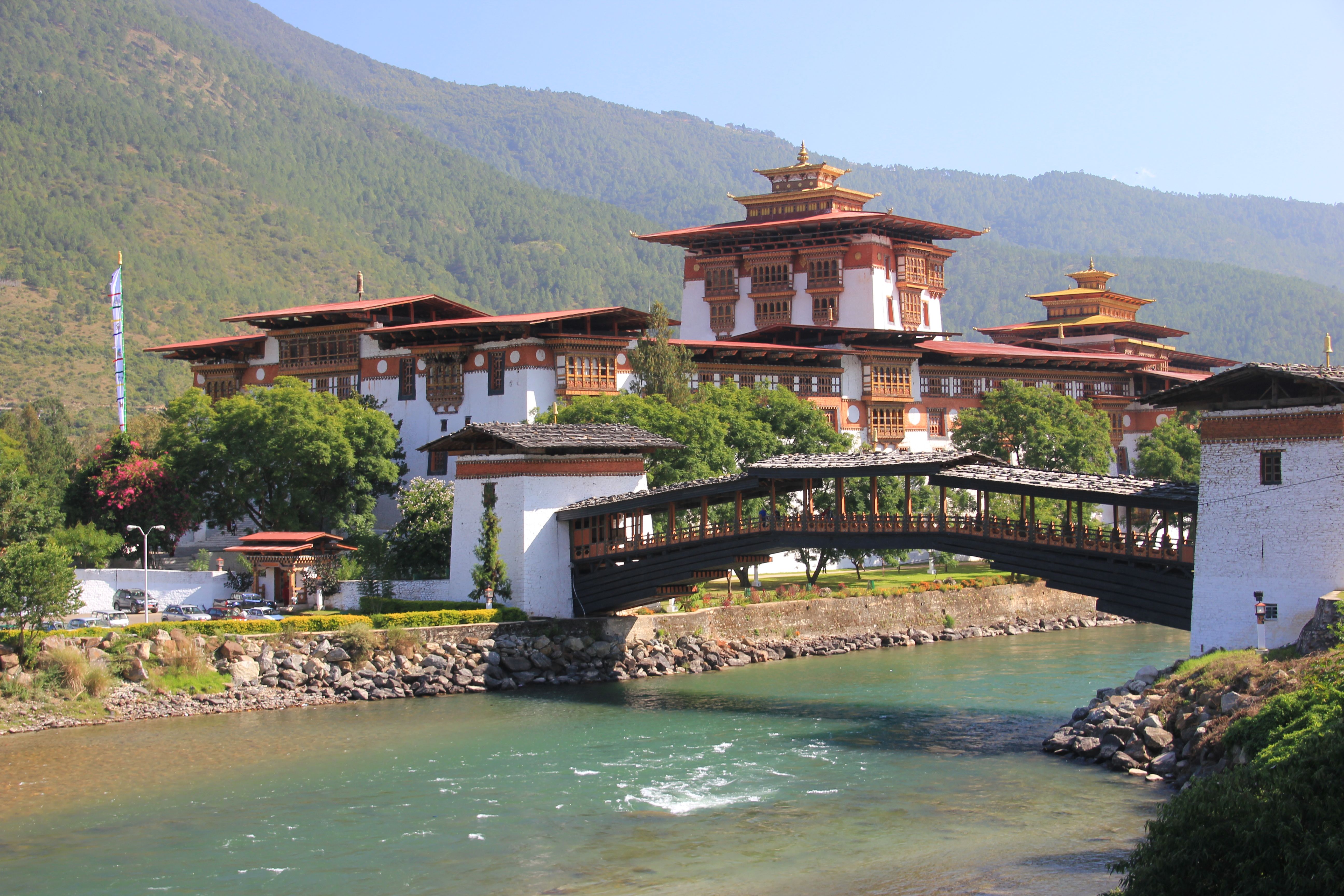
 As every valley was protected/is administered by a dzong, Punakha is no exception. Situated on a fork in the river

 where the monks can wash their clothes
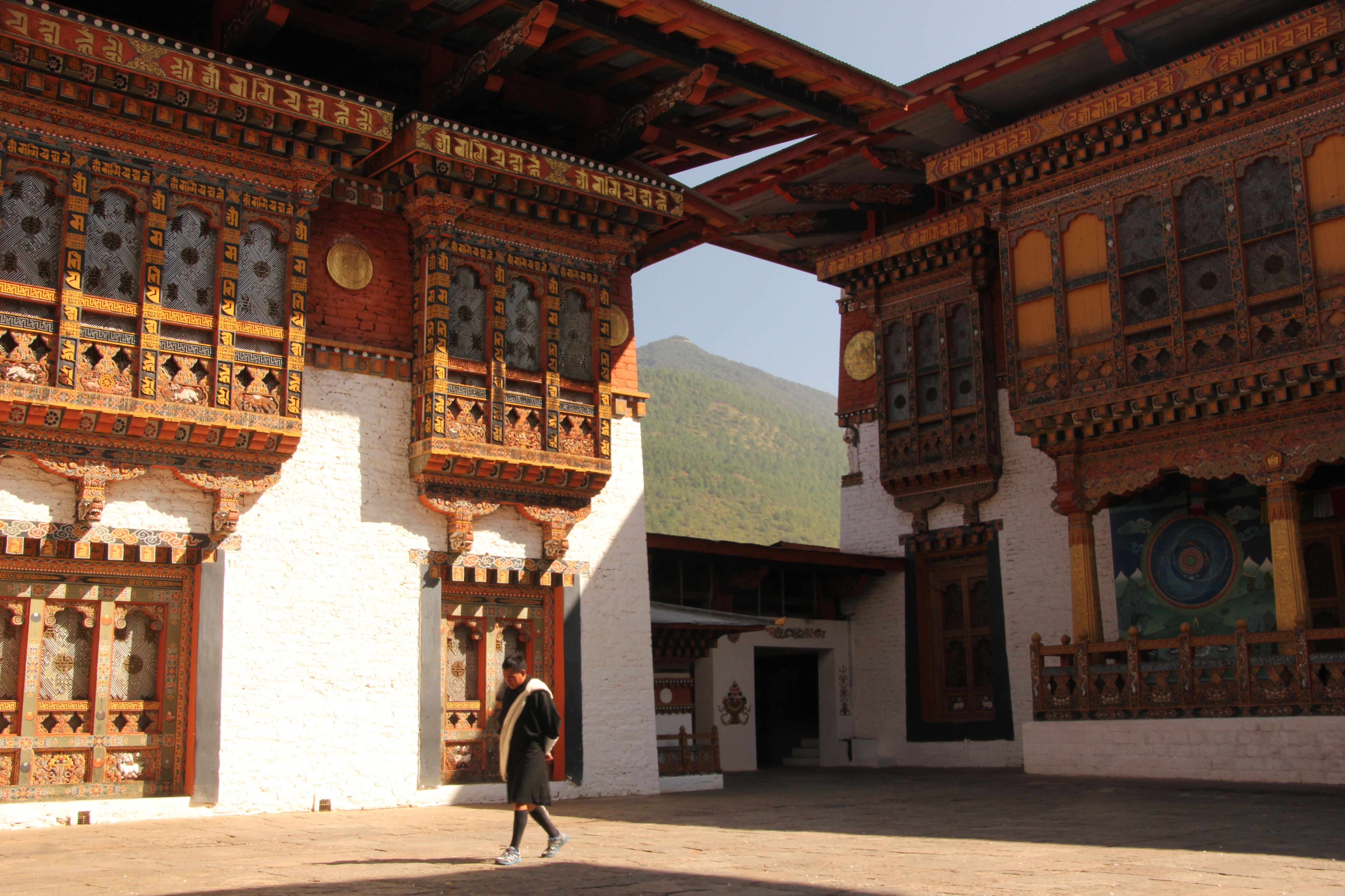
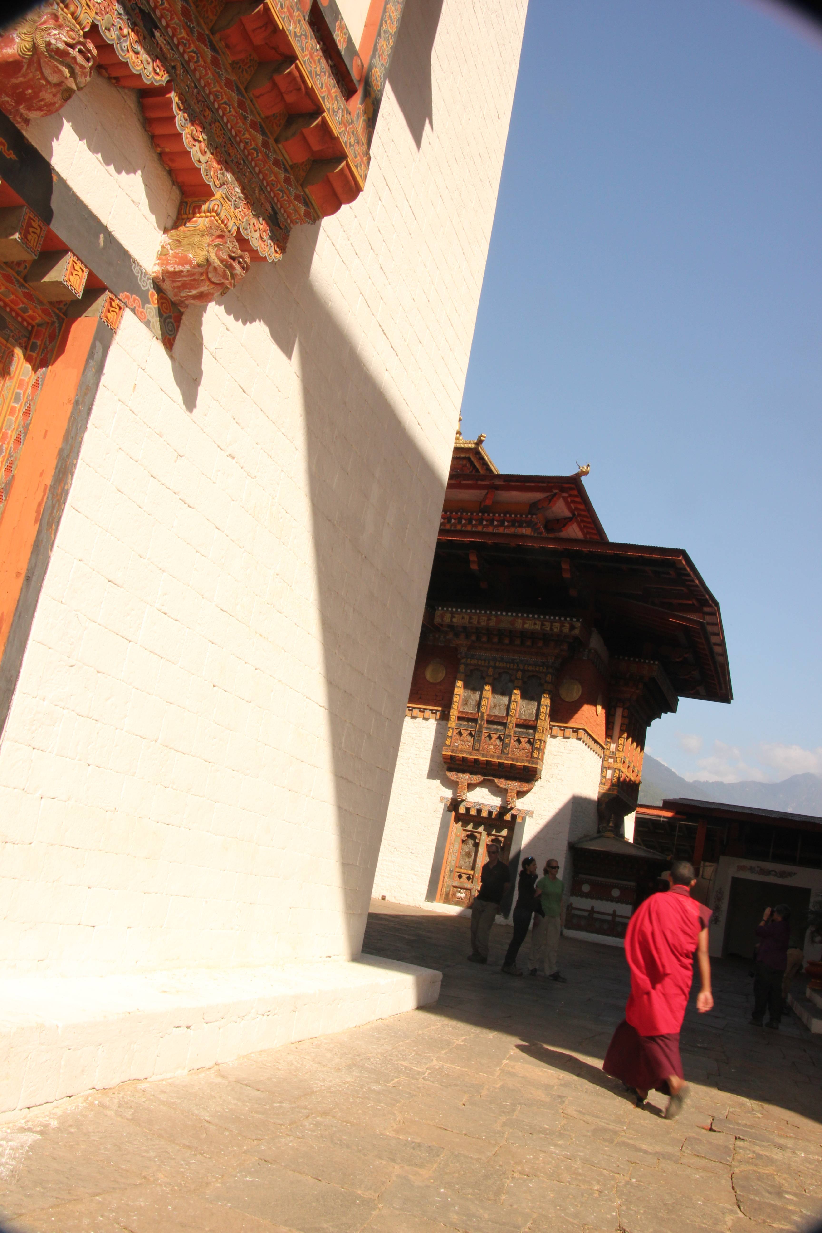
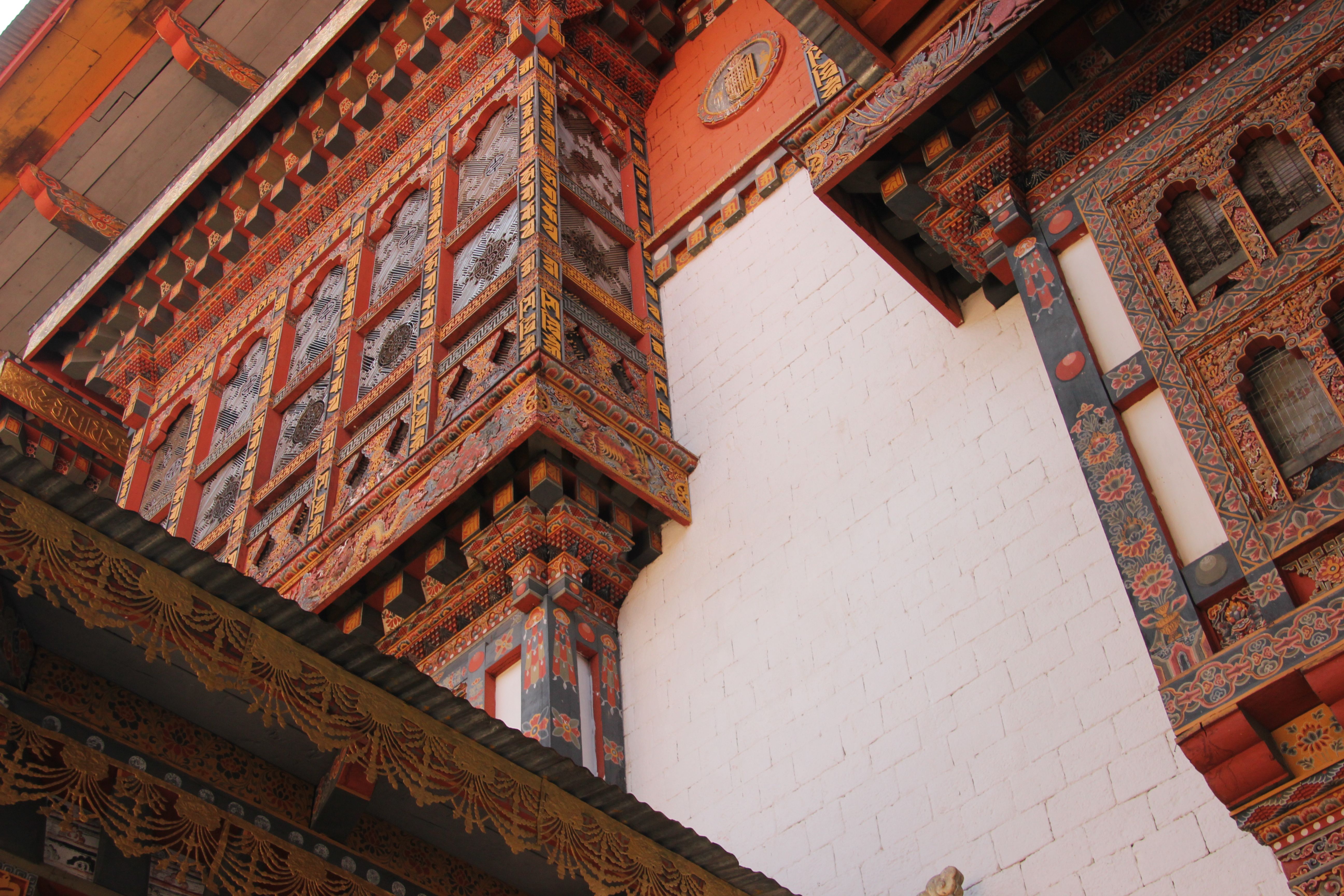
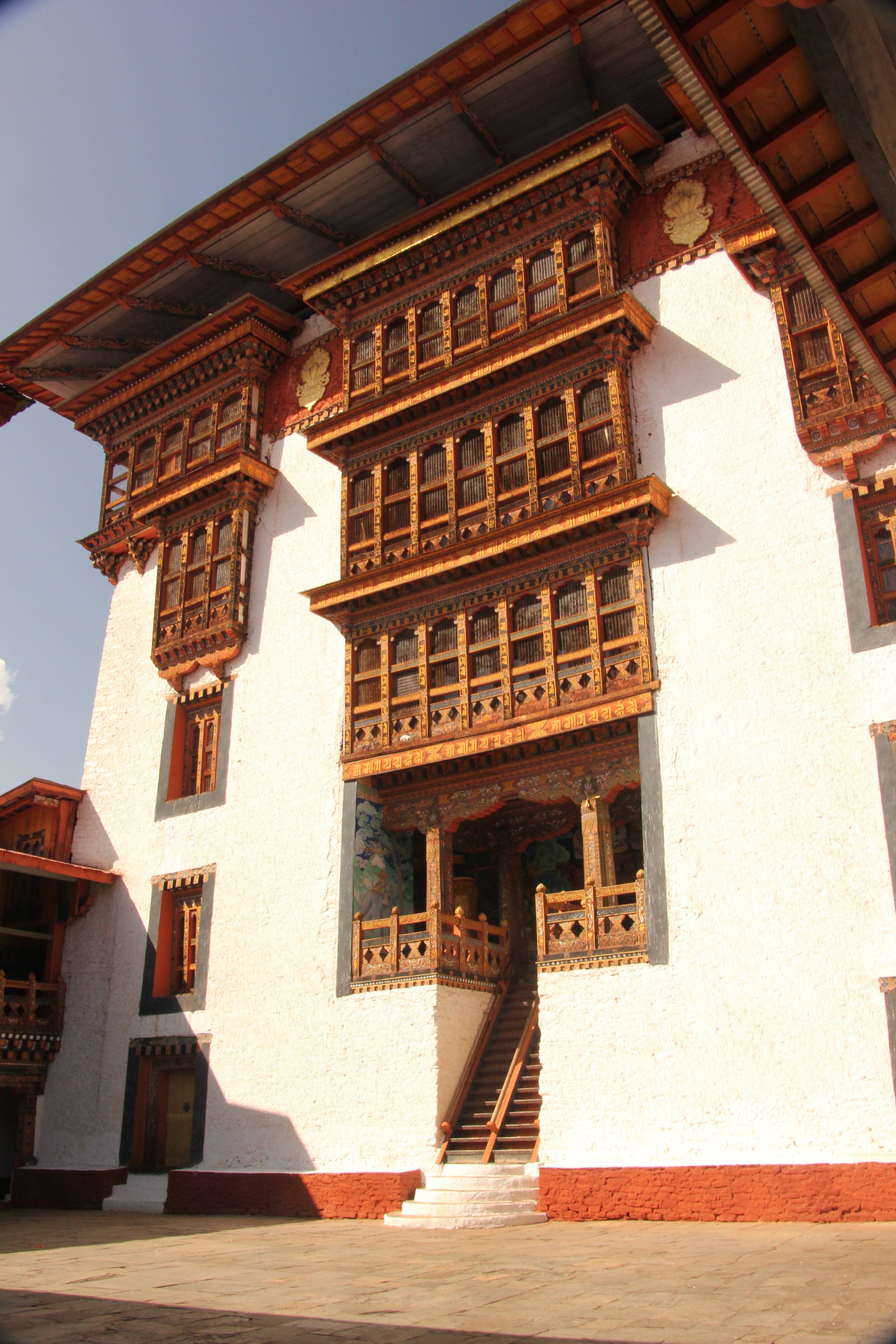
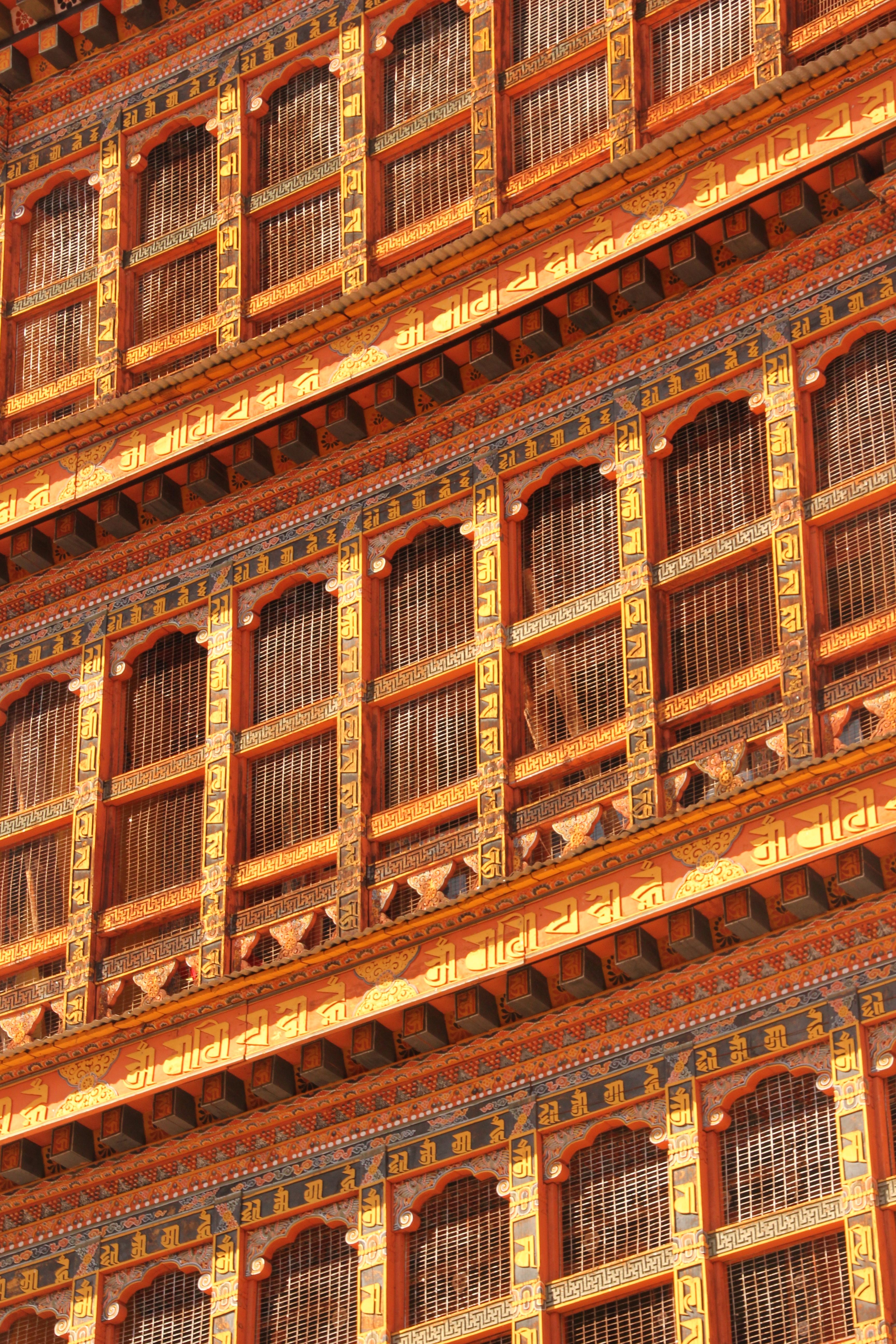
 The architecture is beautiful inside the dzong
 At the end of the day, we had a special treat. We visited the 15th Century Chimi Lhakhang monastery, a site blessed by the Divine Madman (the Drukpa Kinley). On the way, we had to pass the local gift shop
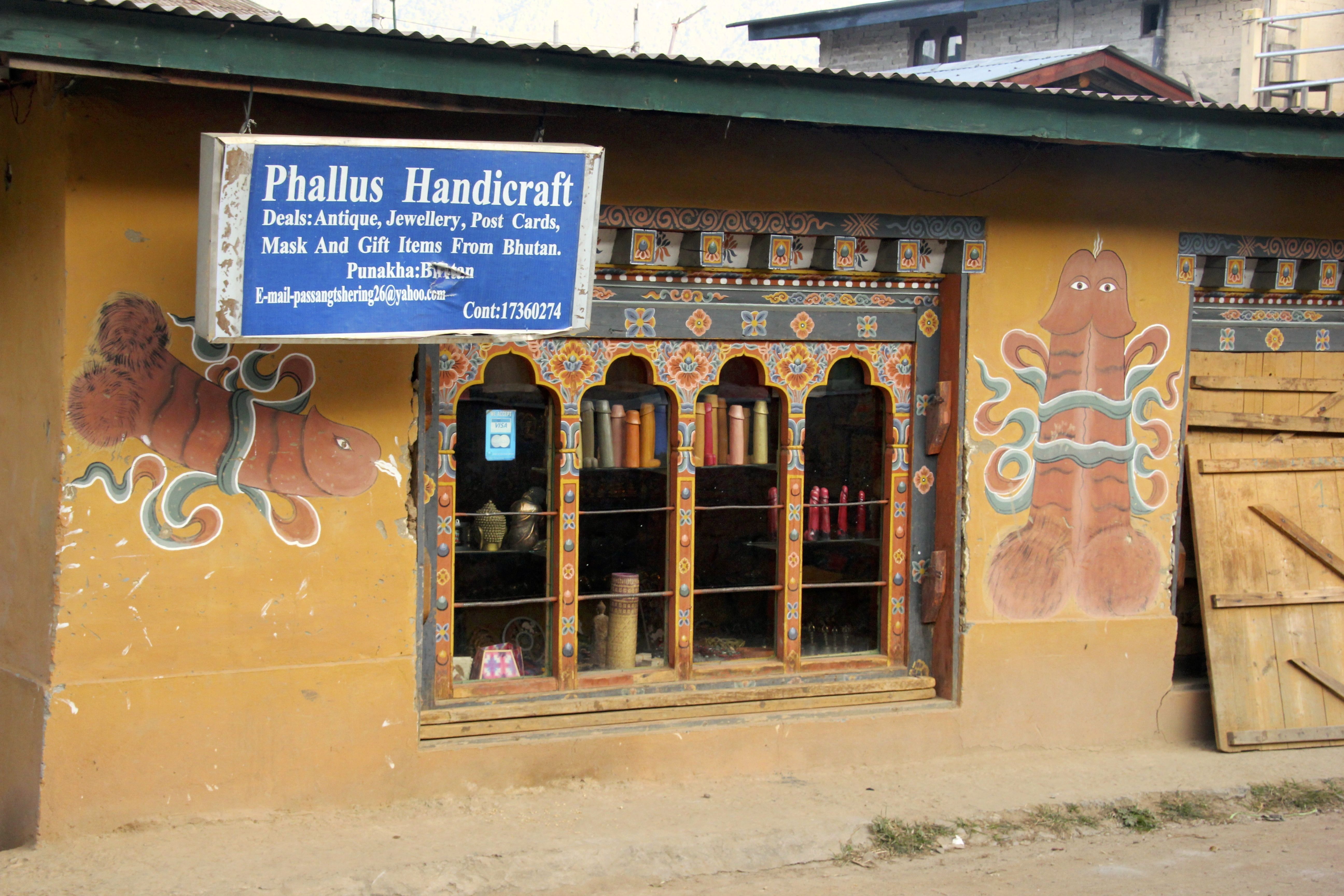
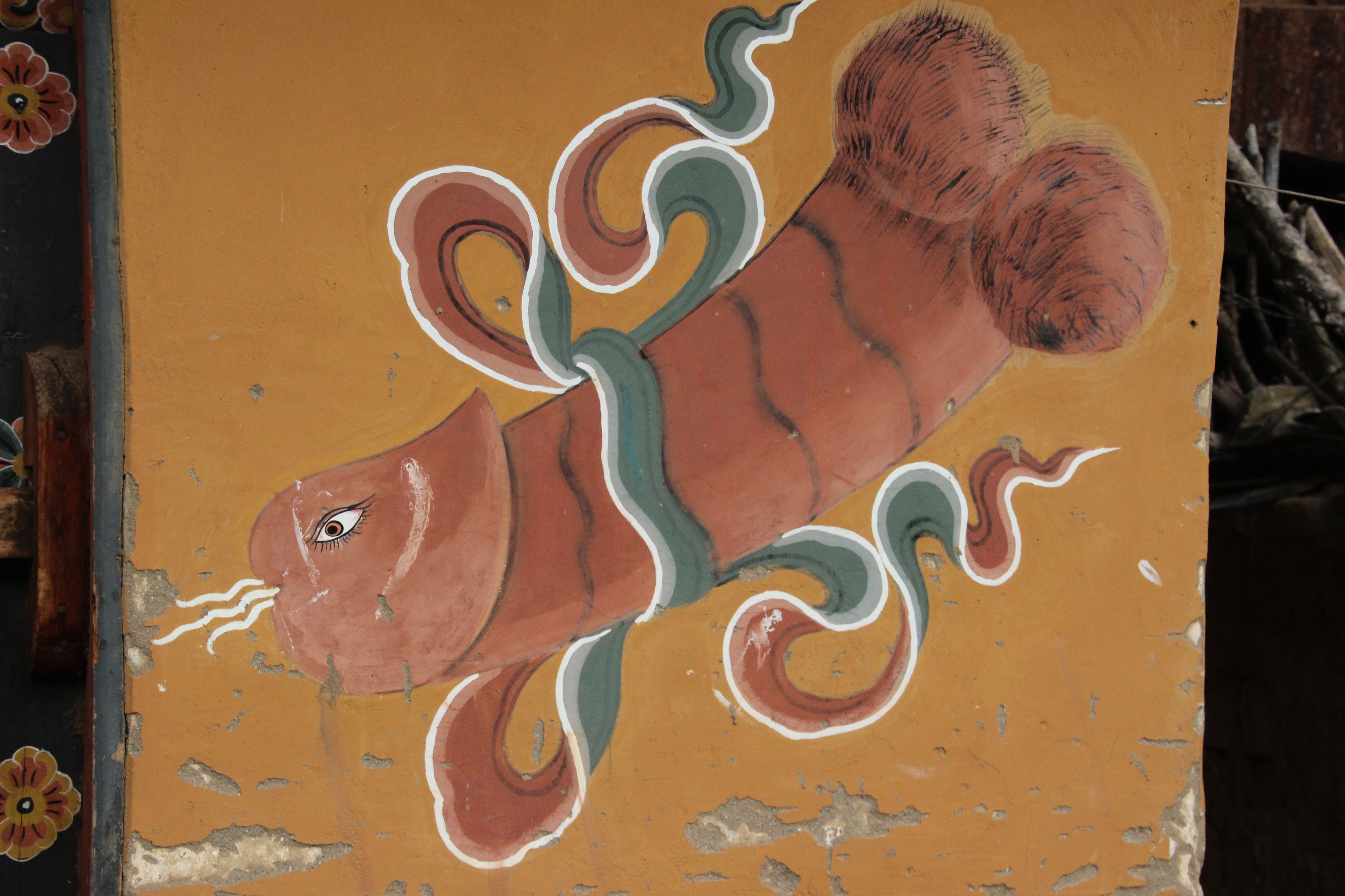 No, this is not a special shop to get gifts for your loved ones. The phallus is a revered symbol in this region of the world as fertility (and wisdom) are considered male attributes. Houses and shops are decorated with similar pictures throughout the valley. The pictures leave little to the imagination and I am quite unsure how they were explained to the pre-adolescent portion of the population.
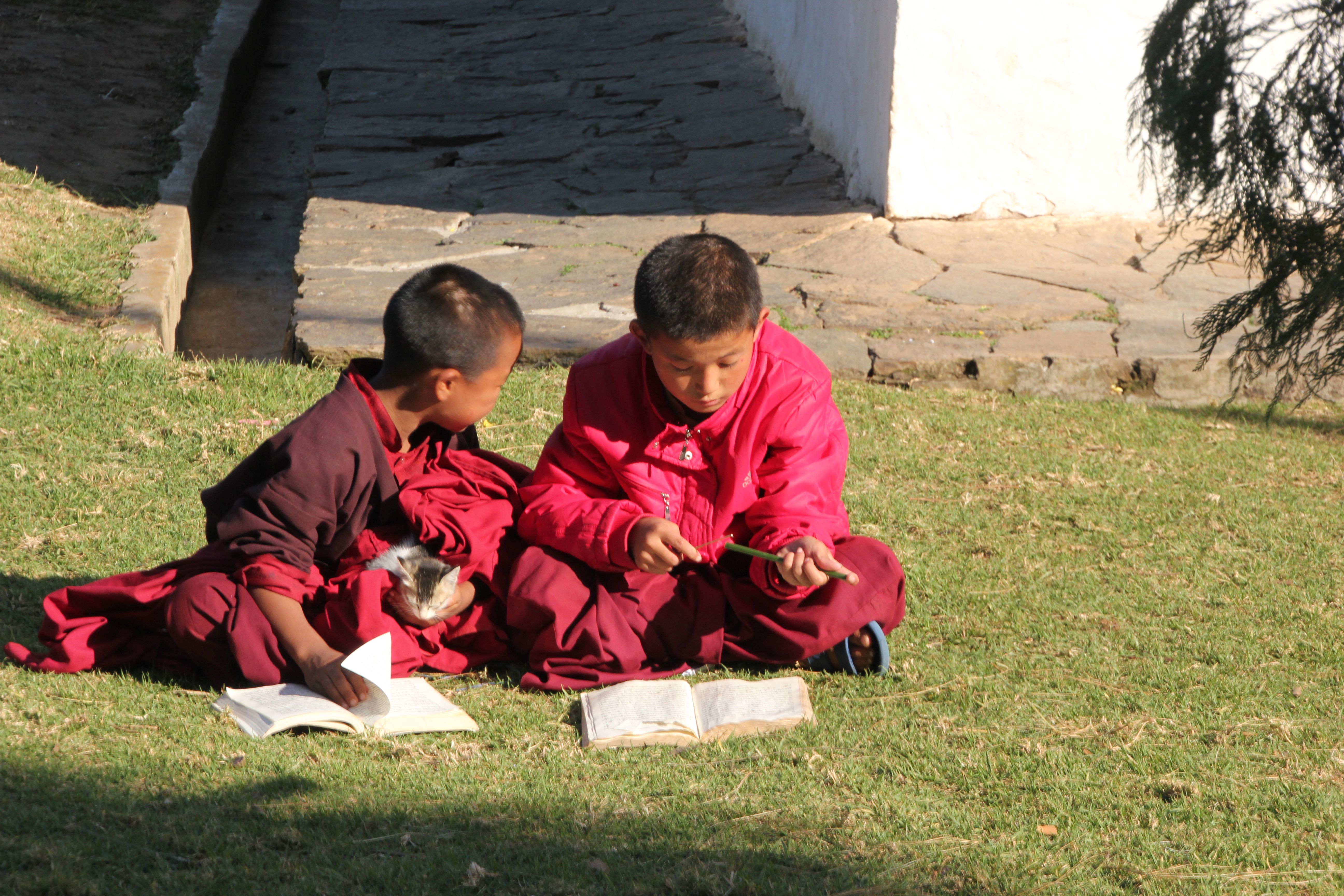
The monastery itself was small and ancient, but was actively engaged in training a small cohort of monks. These children would enter the monastic order at a very young age and their entire education was devoted to learning the scriptures and mysteries of the faith, without any secular education.