Left the Novotel at the Suvarnabhumi airport (I have no idea how to pronounce this but it must be easier than Bangkok’s real name, Krungthepmahanakonbowornratanakosin-mahionoparatanarajthaniburiromudomrajniwesmavatarsatitsakattiyavisanukamphrasit) at 6AM, grabbed my Starbuck’s at the airport and headed for the only airline allowed to fly into Bhutan, Druk Airlines.
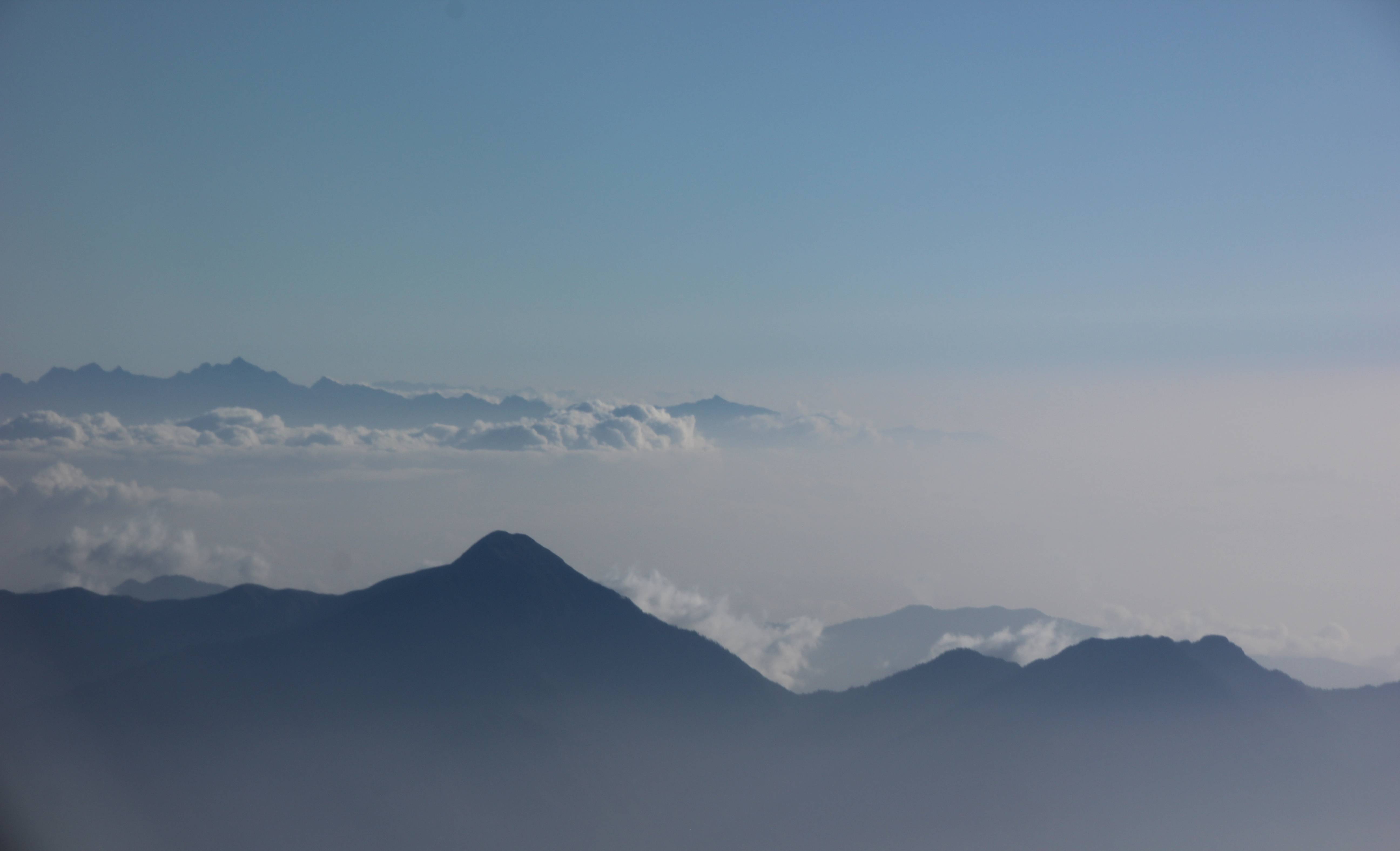
The flight was brief and the view from the window displayed mountains rising from the mist as islands from the sea.
 Then the pilot came on the intercom and informed us that we would be flying disturbingly close to the mountains, not to worry.
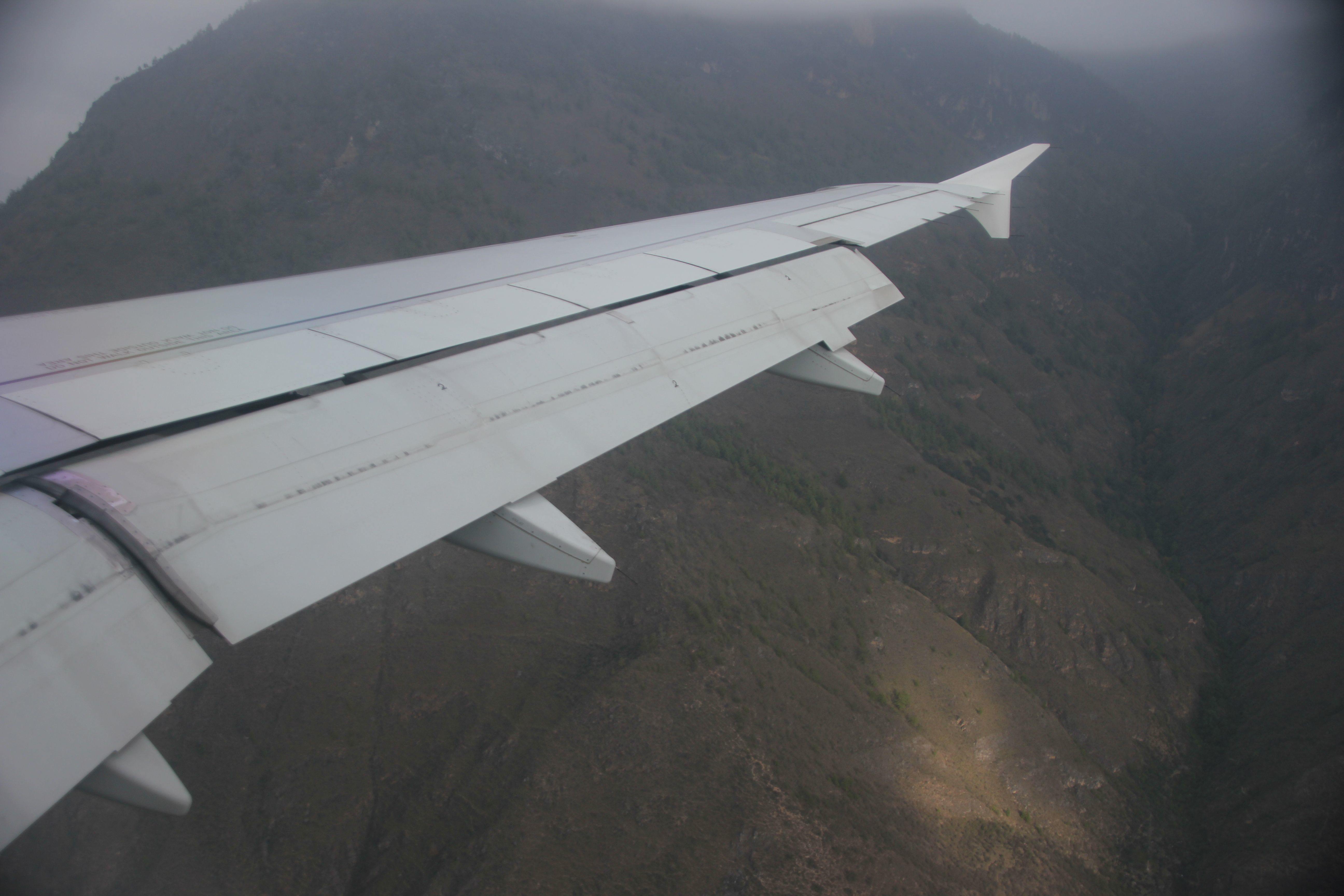 Now, before you take a trip, it is a little disconcerting to stumble across an interesting article about the 10 most dangerous airports in the world, noting that you are flying into one of them in 3 weeks.
These pictures of Paro Airport can be found online
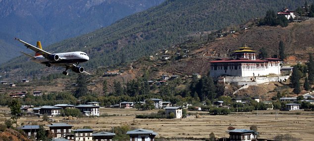
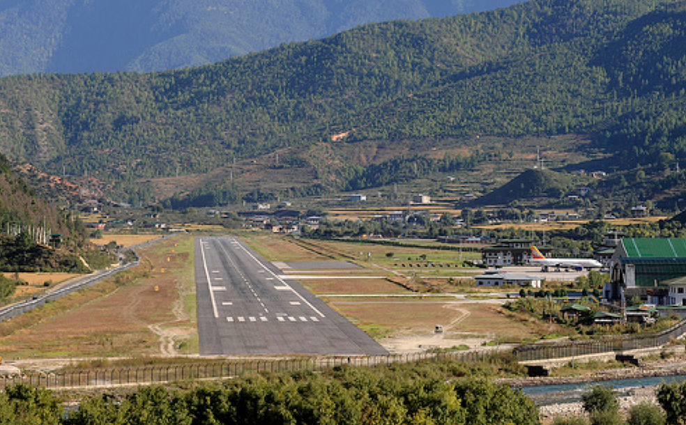 As I review this topic, after the trip, I notice that only 8 pilots are qualified to land on this airstrip. Located 5,000 feet above sea level, surrounded by 18,000 foot peaks, with a landing strip only 6,500 feet long, and approachable only but veering through valleys leading to valleys – it is not a straight shot into the main valley.
But I made it.
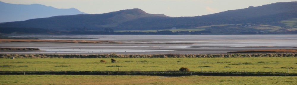
I expected this trip to be about Himalayan scenery, but in fact, it was not. While Bhutan does have the third highest mountain in the world, most of the population is not located in the midst of these mountains but rather in the river valleys that roll down from the spine of the range. So the tour was more of a cultural (or religious) tour.
Vajrayana (Tibetan) Buddhism is the state religion, practiced by 70% of a population of 3/4 of a million souls (less than on the South Island of NZ). Under the current constitutional monarch (and his four mothers), state support is flourishing.
Our first stop was a small state supported monastery where traditional dress and architecture were immediately evident.


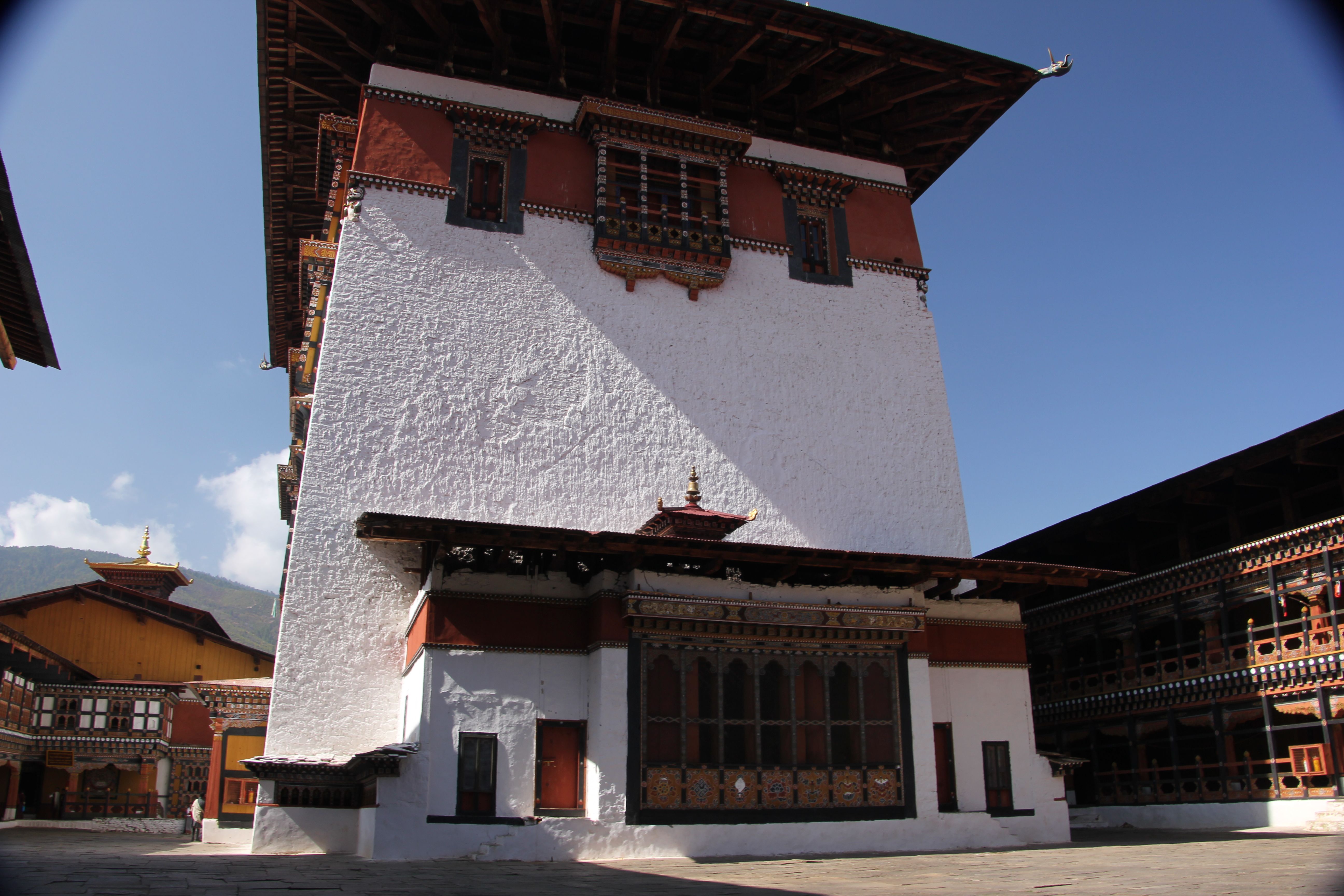
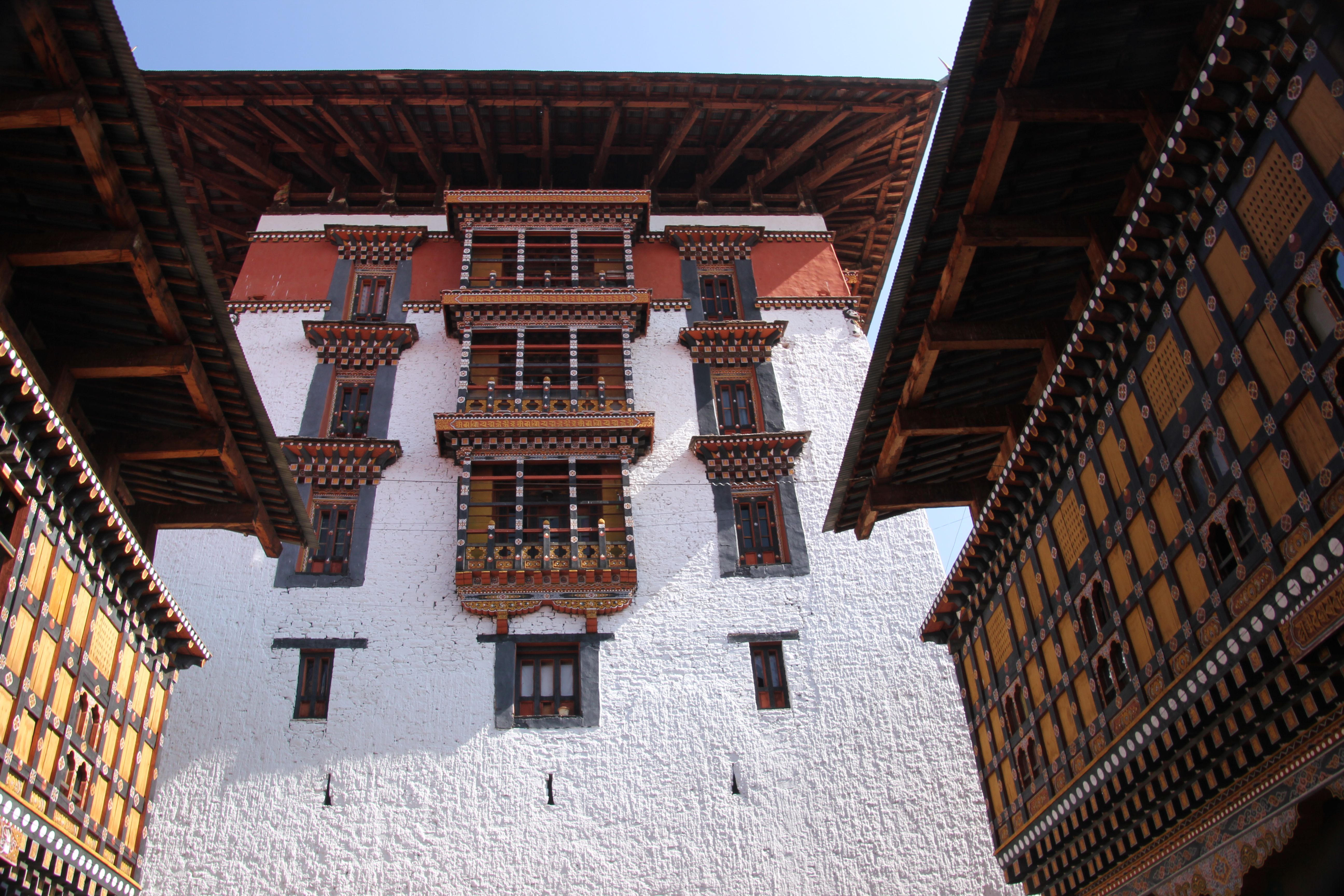
 Rinpung dzong or “fortress on a heap of jewels” is a stereotypic Bhutanese dzong, which is a fortress/monastery/administrative center just outside of town that was used to protect the valley from Tibetan invaders.
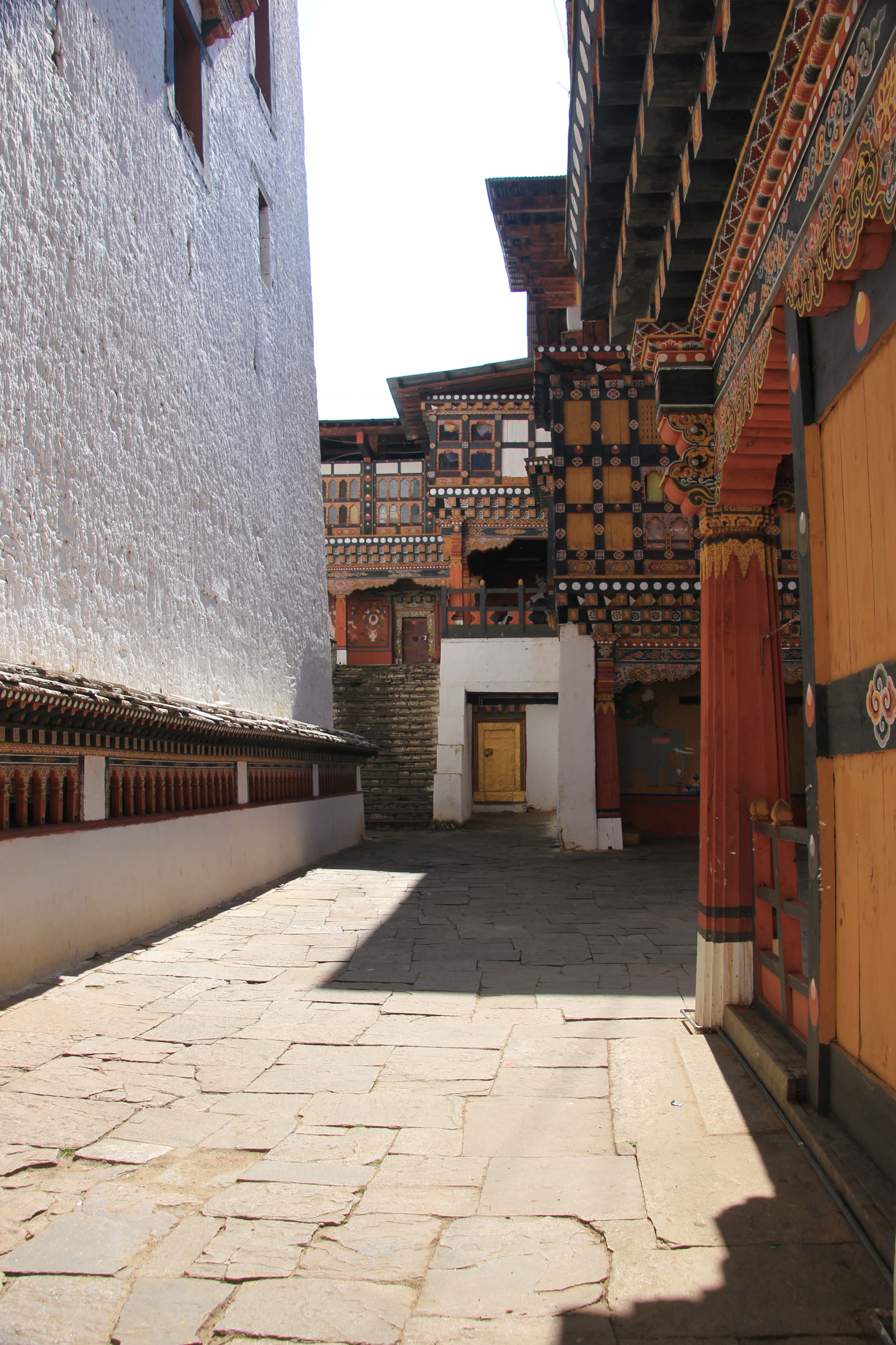
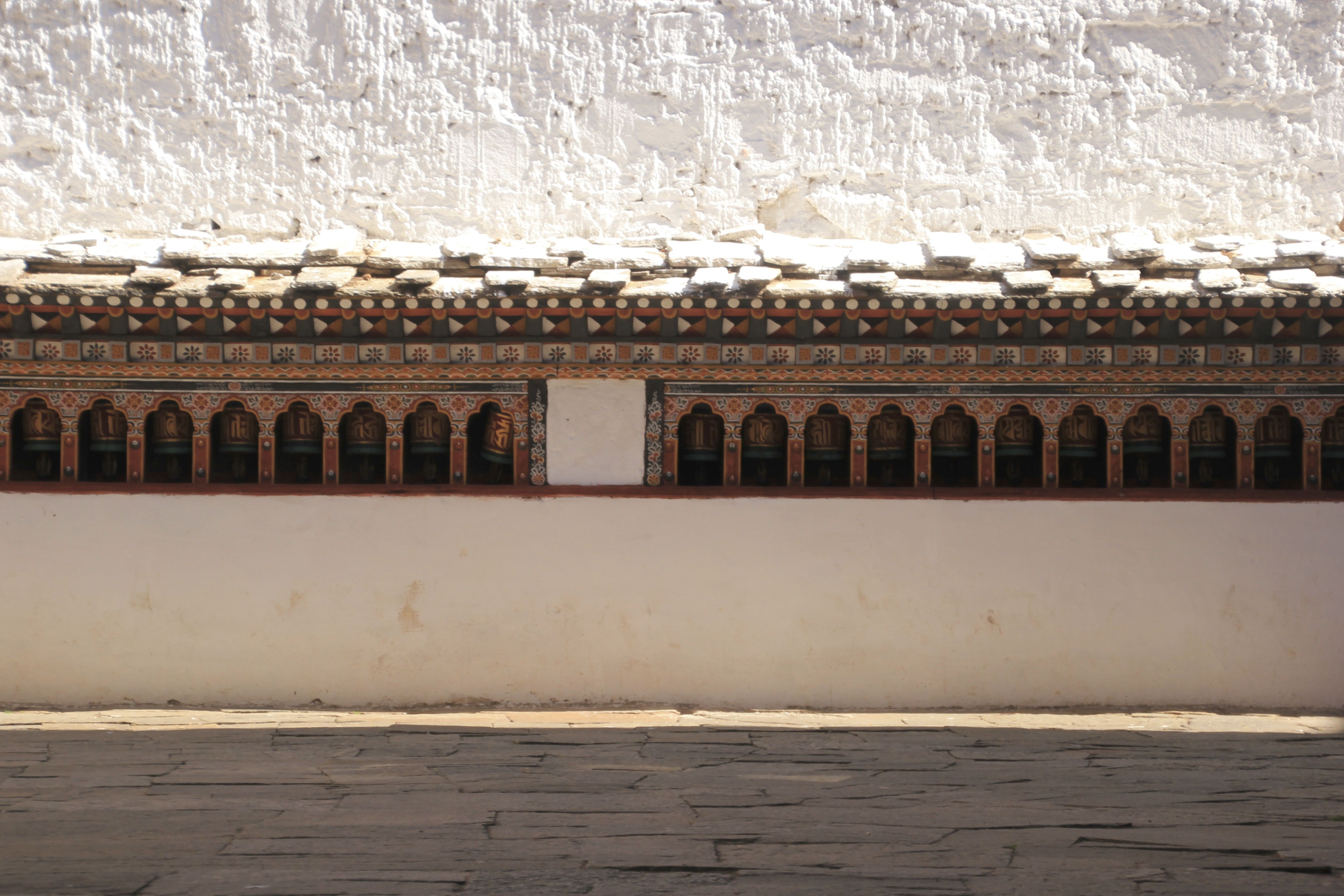
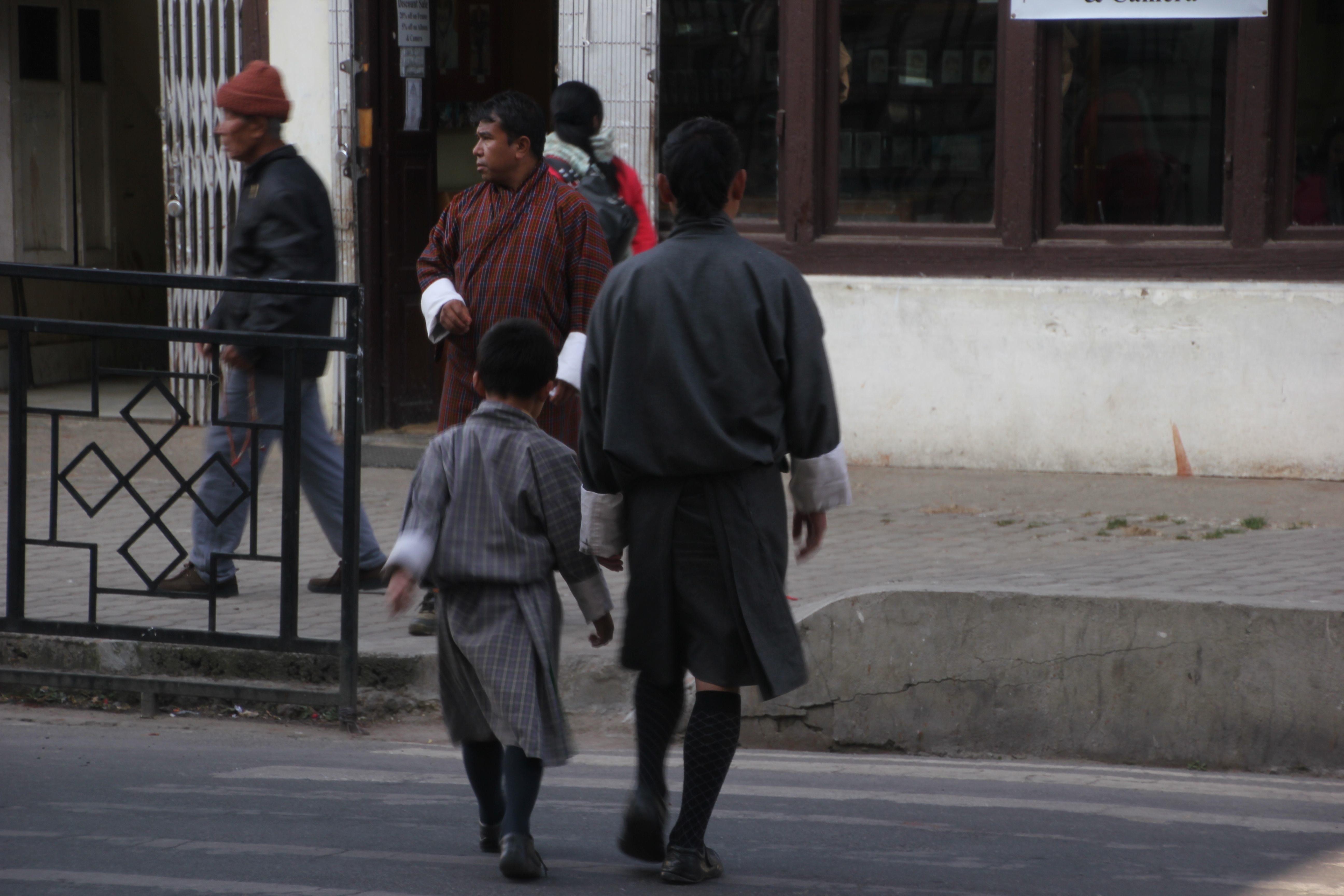
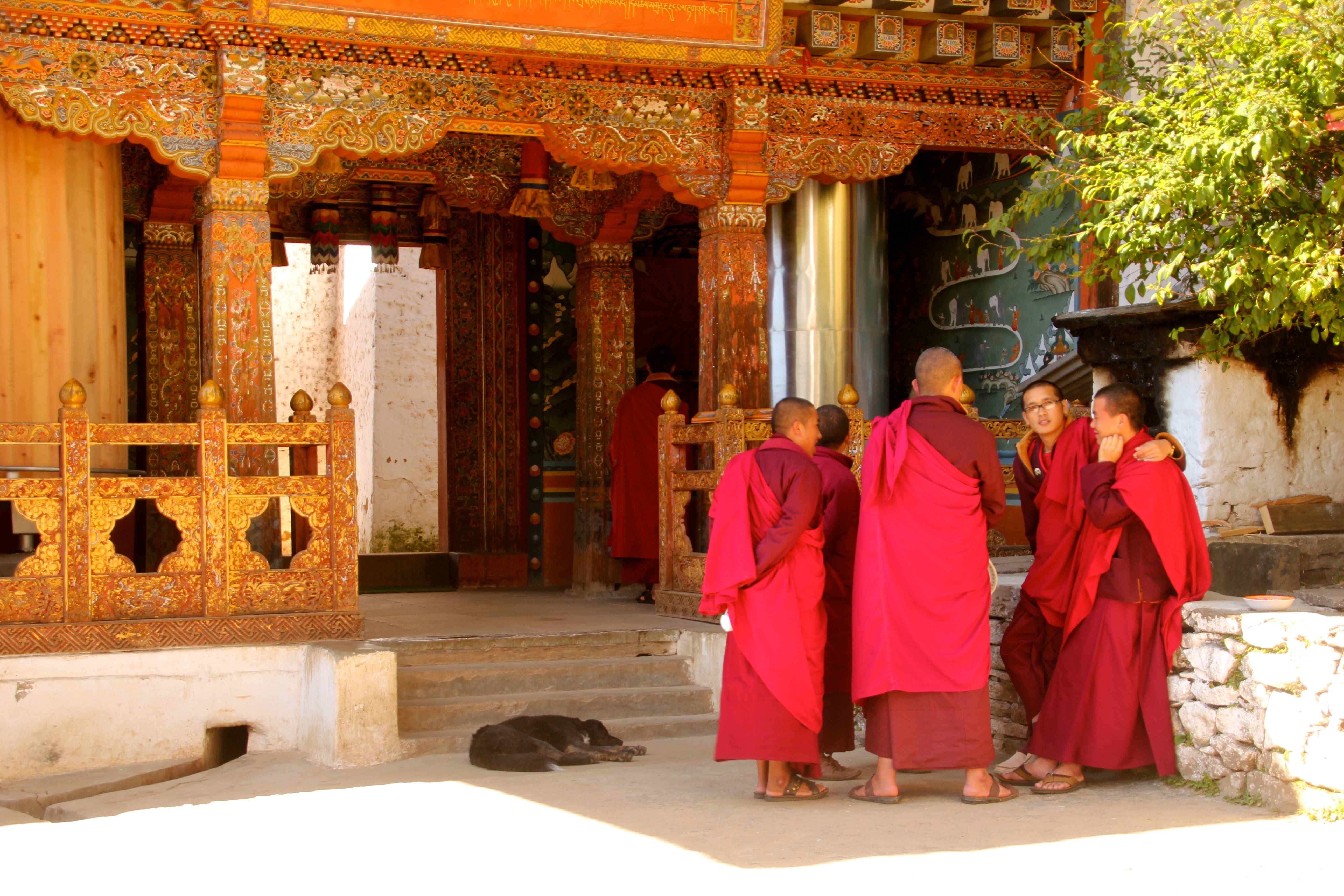
 When inside, visitors and workers must wear appropriate attire, which for local men means a traditional gho (knee length robe-like garment) adorned with a kabney (silk scarf slung over the shoulder). Here an administrative worker speaks with a monk.
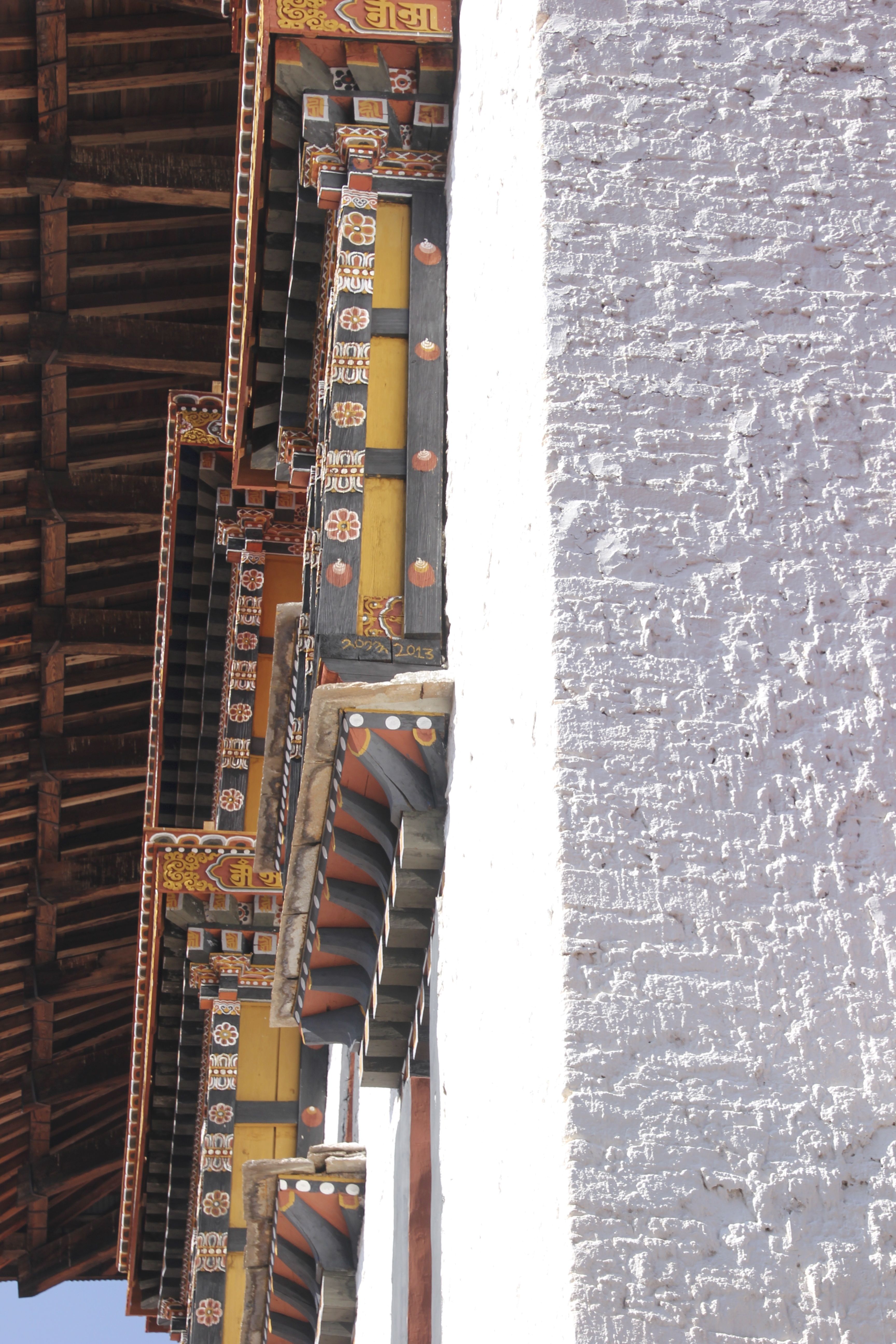
 The architecture was beautiful. However, while Bhutanese dzongs (pronounced Zongs, not Dongs) go back centuries, most have been destroyed by fire at one time or another and been rebuilt. This structure is about 100 years old.
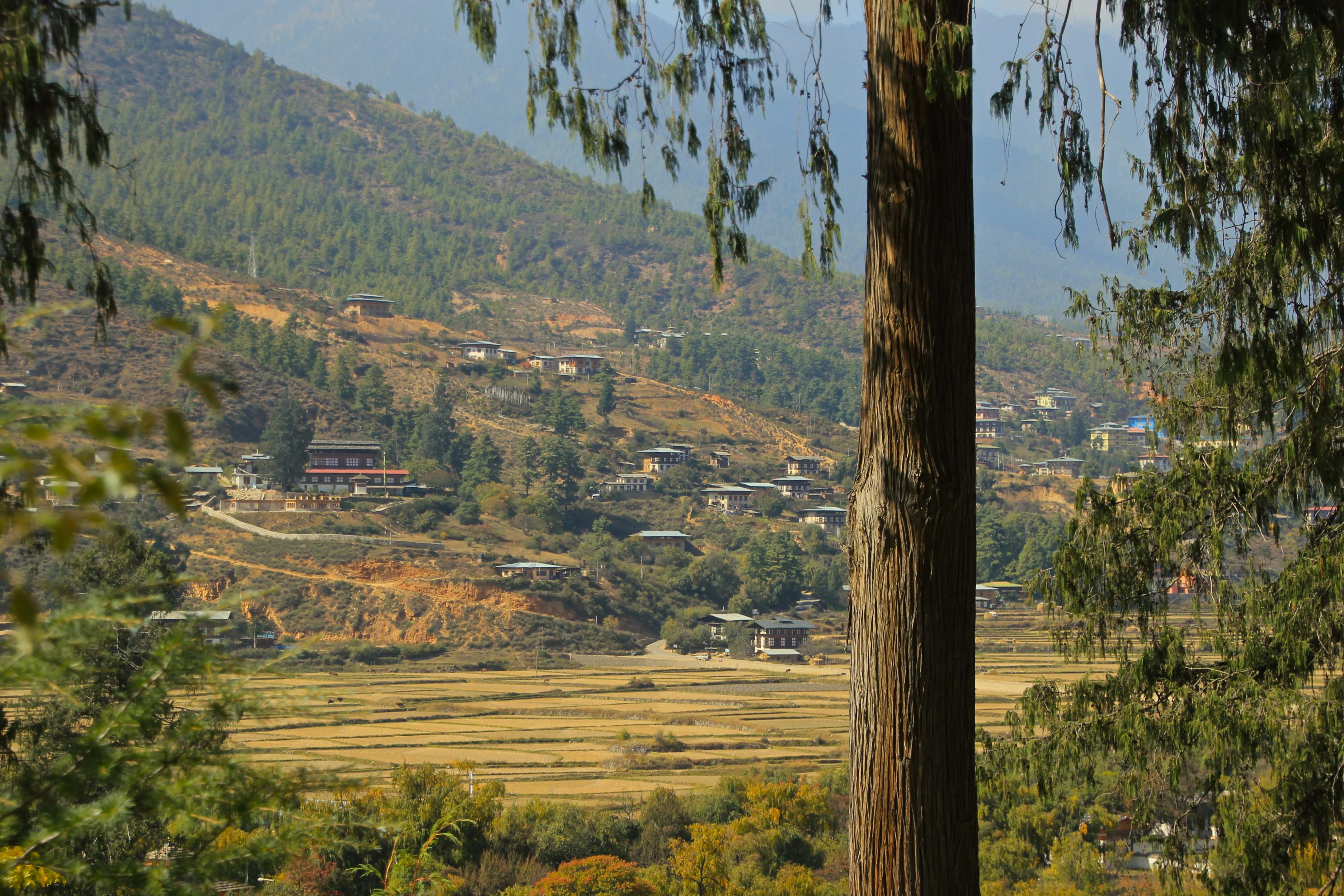
 The view of the valley is sublime
 We made our way to Thimpu, the administrative capital, where growth is booming and is beyond even what I saw in China. Current GDP growth is above 8%, one of the fastest in the world, up there with Turkmenistan, Libya, Sierra Leona, Mongolia, Niger, and a few others. (Look…when you are starting at the bottom….)
 Sitting at the main intersection is a good place to watch the uniformed school kids coming home, talking on their cell phones. Mind you, this is in a country where the first real roads did not arrive until the 1960s, phone “service” until the 1970s, and television until the 1990s. But cell phones are more ubiquitous here than in my own children’s hands. (Can you here my daughter rolling her eyes?)

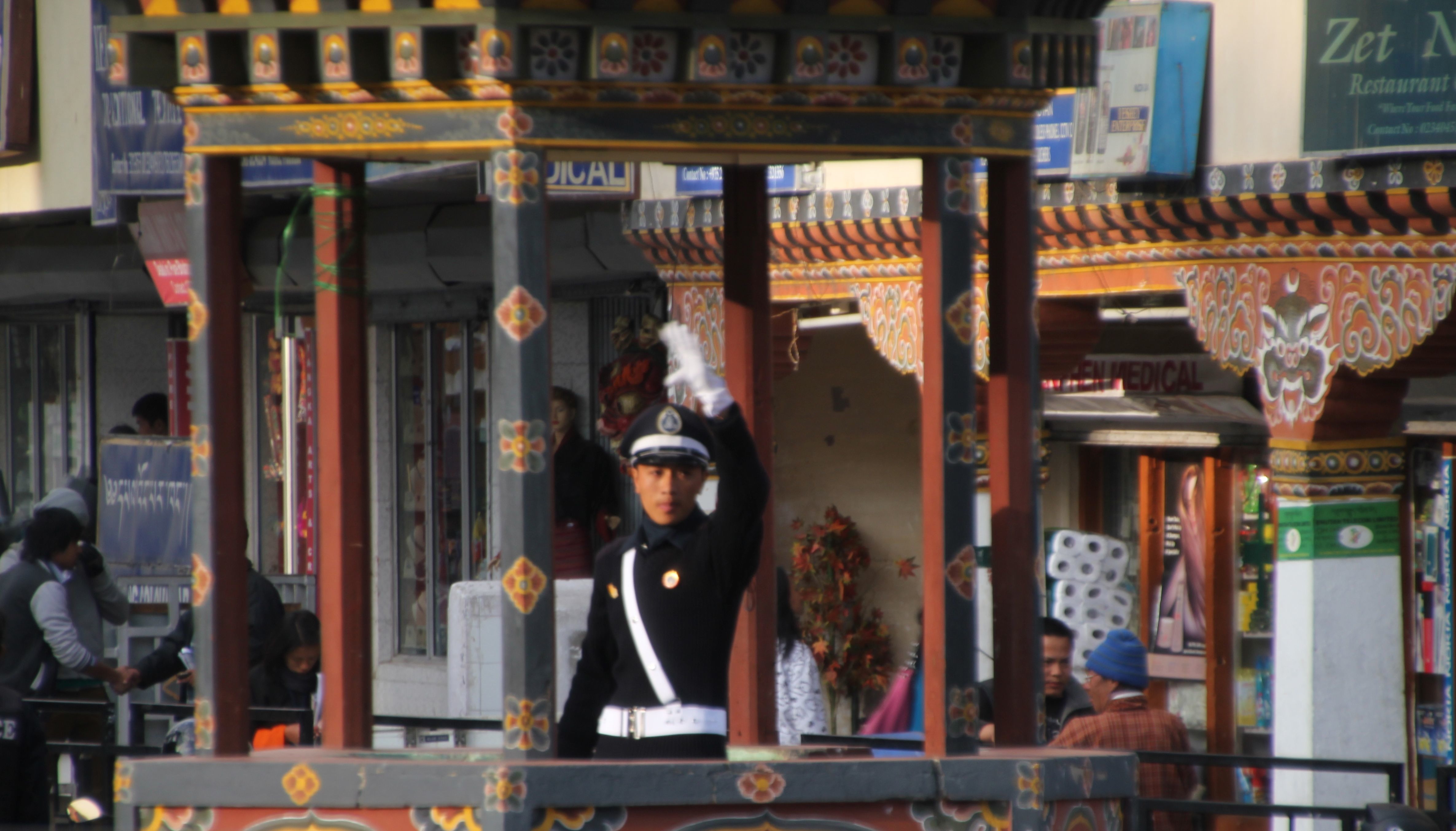
 Here is the capital’s main stoplight
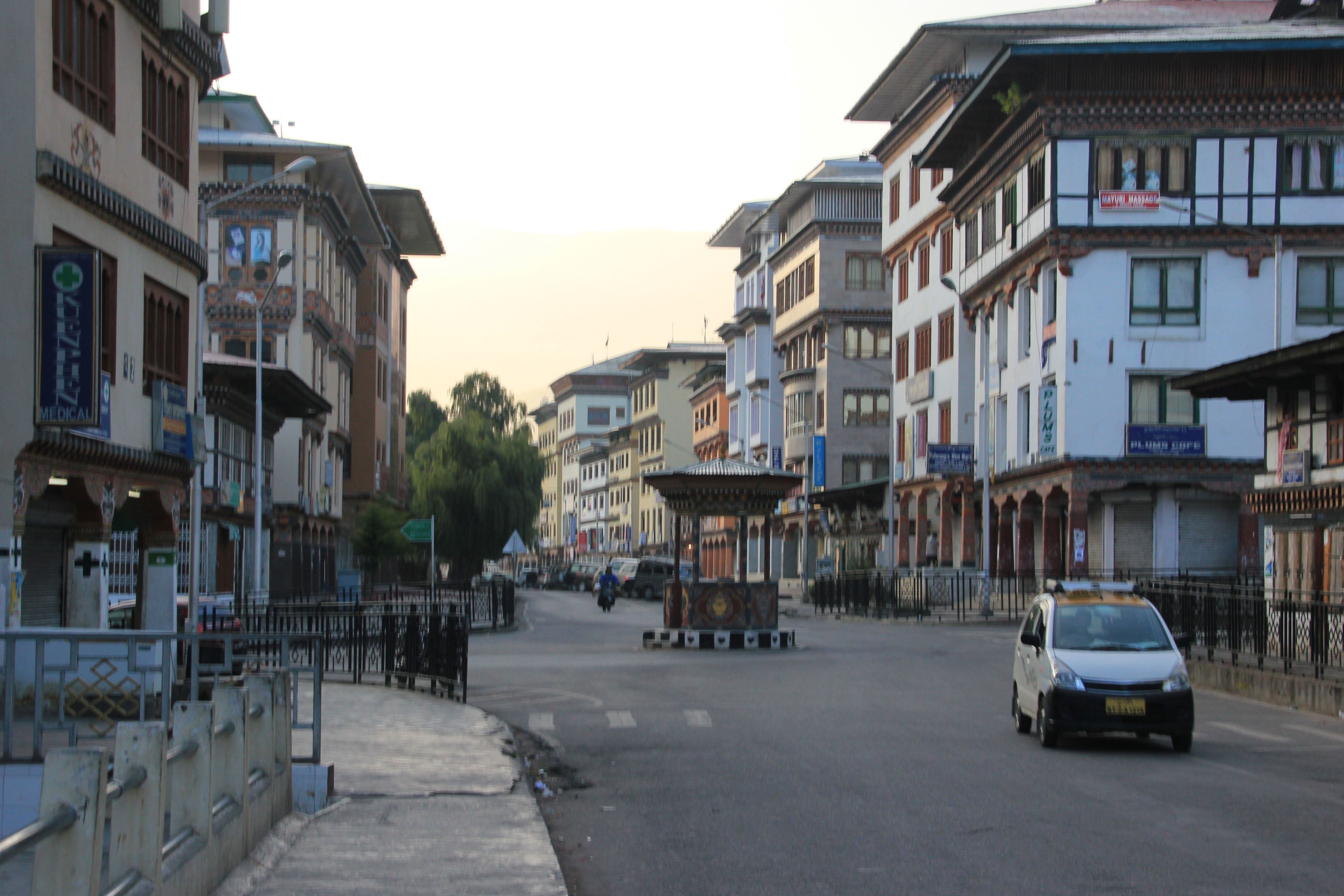
 A couple of photos in the early hours of the morning, including a view of the main intersection in the photos above.
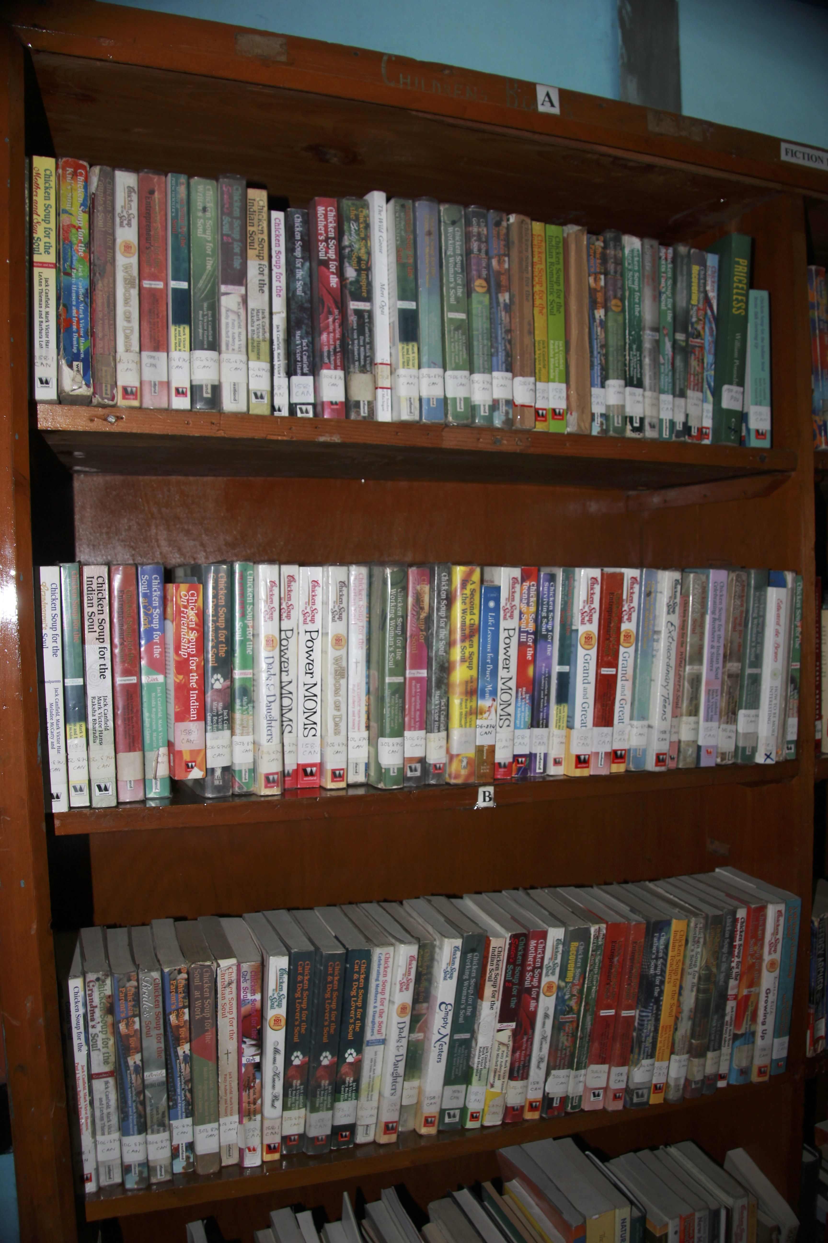
 I wandered around a bit in my free time and stumbled across the public library, which is about a fifth of the library here in Invercargill. But in spite of this, the selection was broad, including three full shelves from the Chicken Soup series, including Chicken Soup for the Indian Soul.
 While English is the instructional language in school, the other national language is Dzongka, a language spoken only by 150,000 of 750,000 inhabitants. While it is only one of 19 spoken languages, it is the only language with an native literary tradition.
 English (as well as many other aspects of modern Bhutanese life) can be traced back to the pervasive effects of the British empire around the turn of the last century.
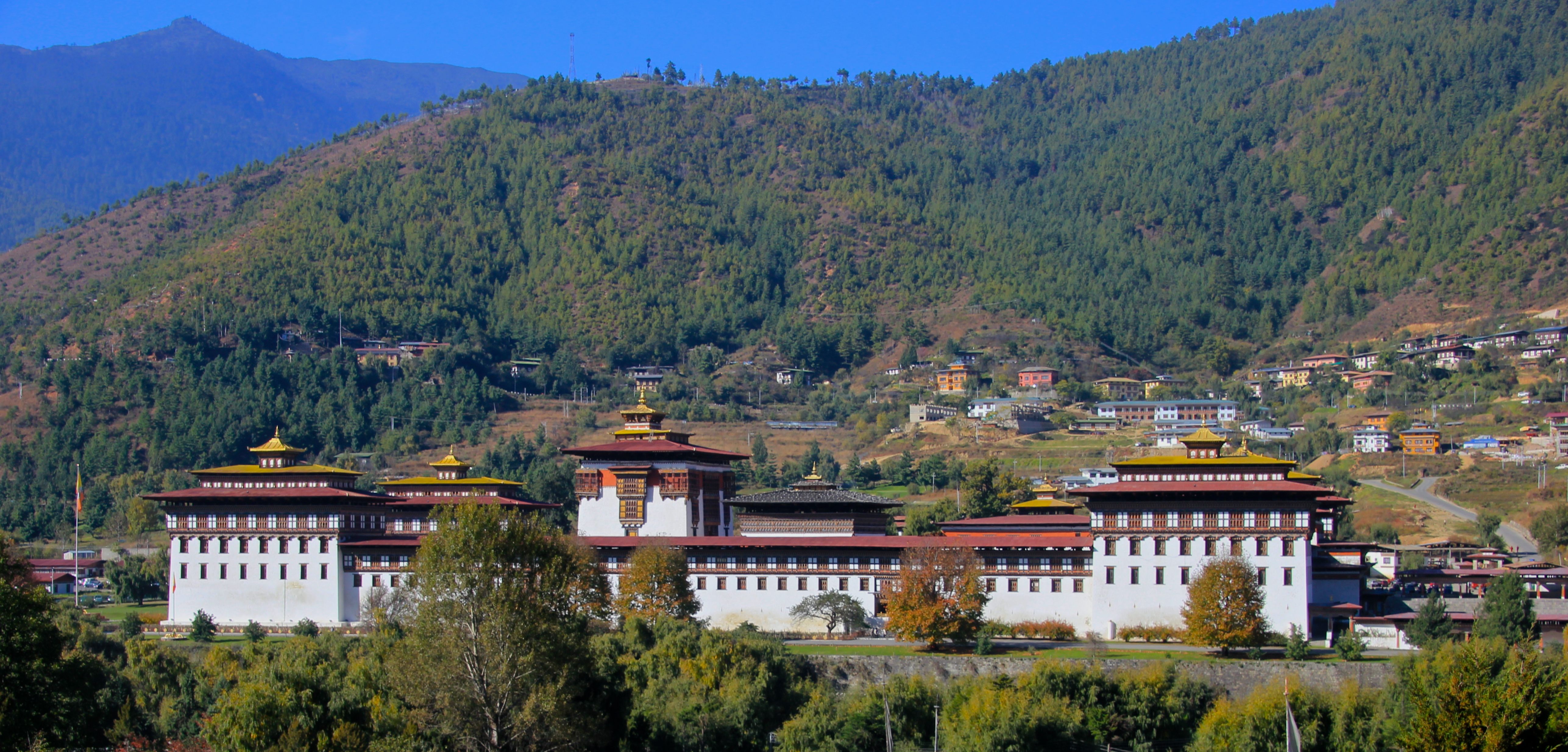
The following morning we headed “up” the valley (i.e. north, all valleys are north to south, with the Himalayas forming the northern boundary and the plains of India at the southern boundary), passing Tashichoedzong, the seat of the government at the northern end of the city.
 We moved on to Cheri Monastery, which was quite a hike from the road. (Shopping days must be a bitch for the monks).


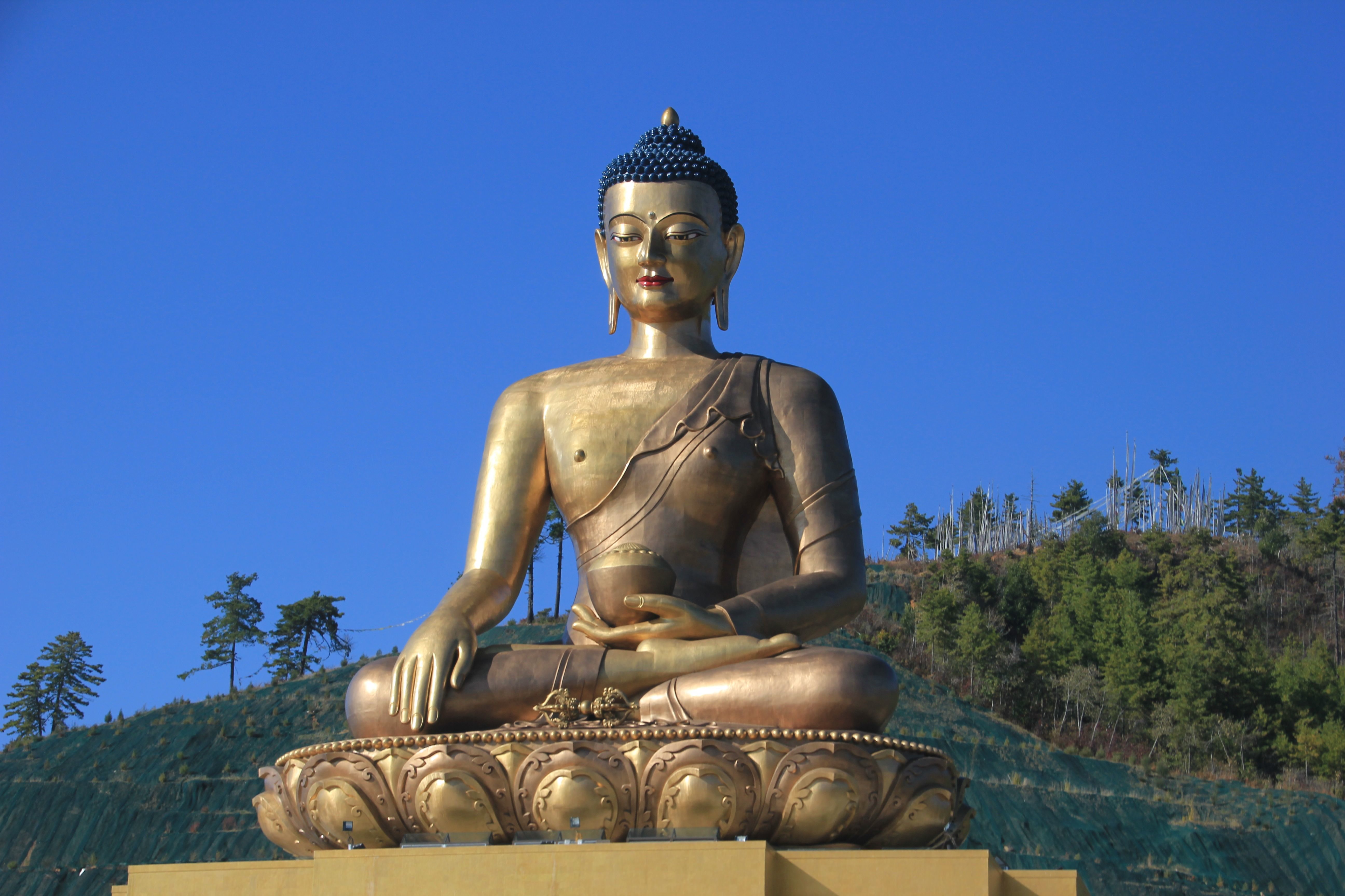
 The next day we were on the move again, but before we left Thimpu, we stopped by the giant Buddha
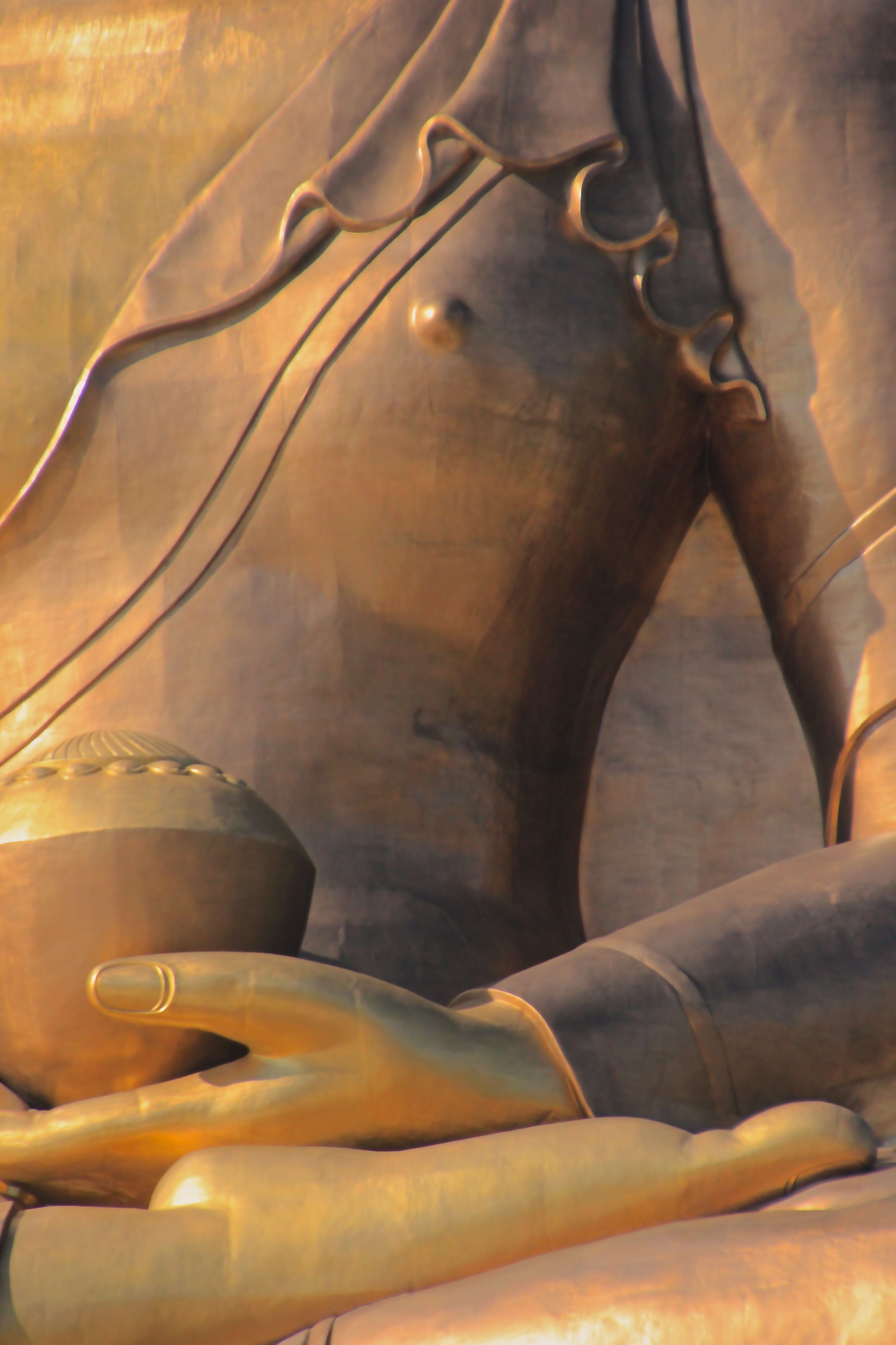 To get a little perspective on the size
 Thus we bid the Wang Chuu River valley “legshembe shug” (goodbye, if you are the person leaving).

To be continued….
