We just toured the North Island over autumn break. Quite a long drive considering we made it almost to the very northern tip of the country, near Russell – now a small tourist destination (i.e. an open air shopping center in an historic New Zealand colonial setting) but once known as the “hell-hole of the Pacific”.
 This doesn’t look bad until one remembers the difference between an American road
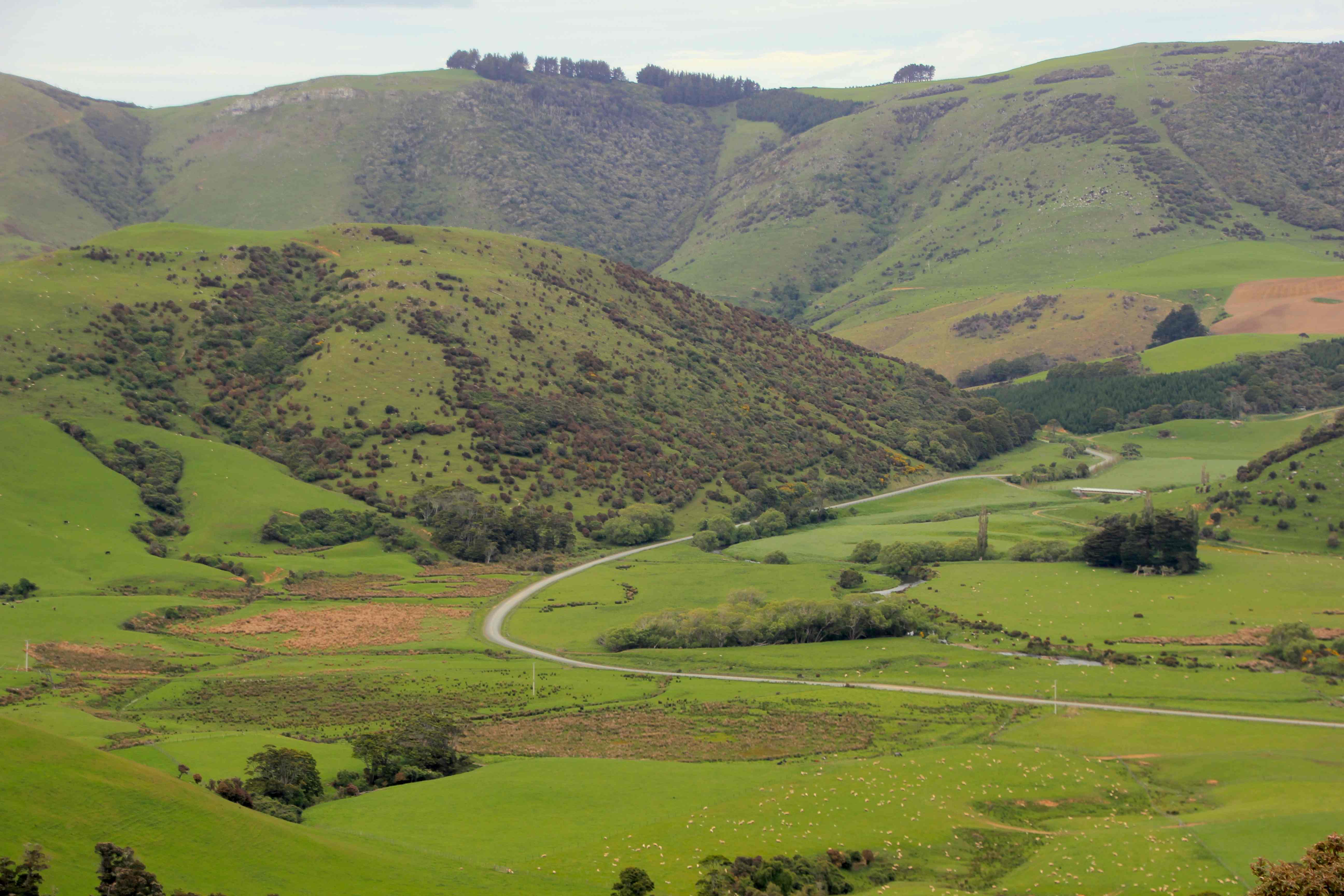
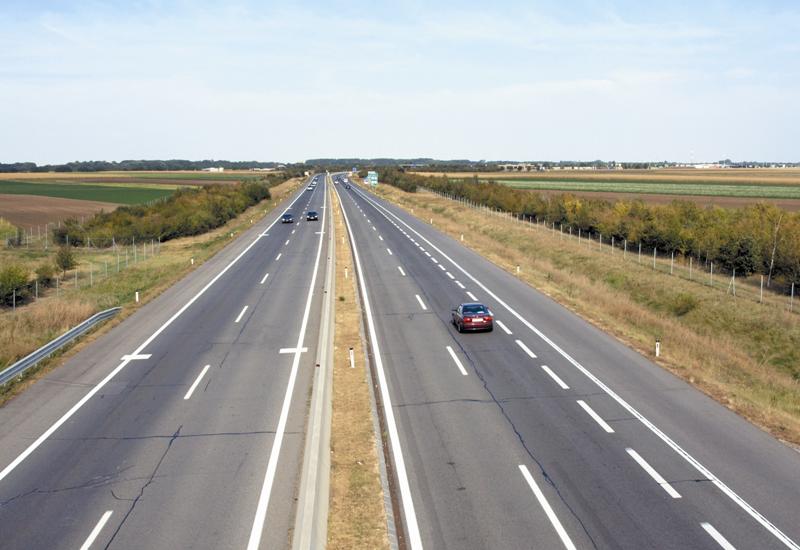 And a Kiwi road
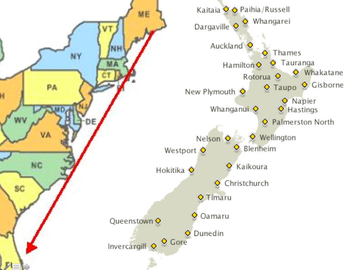
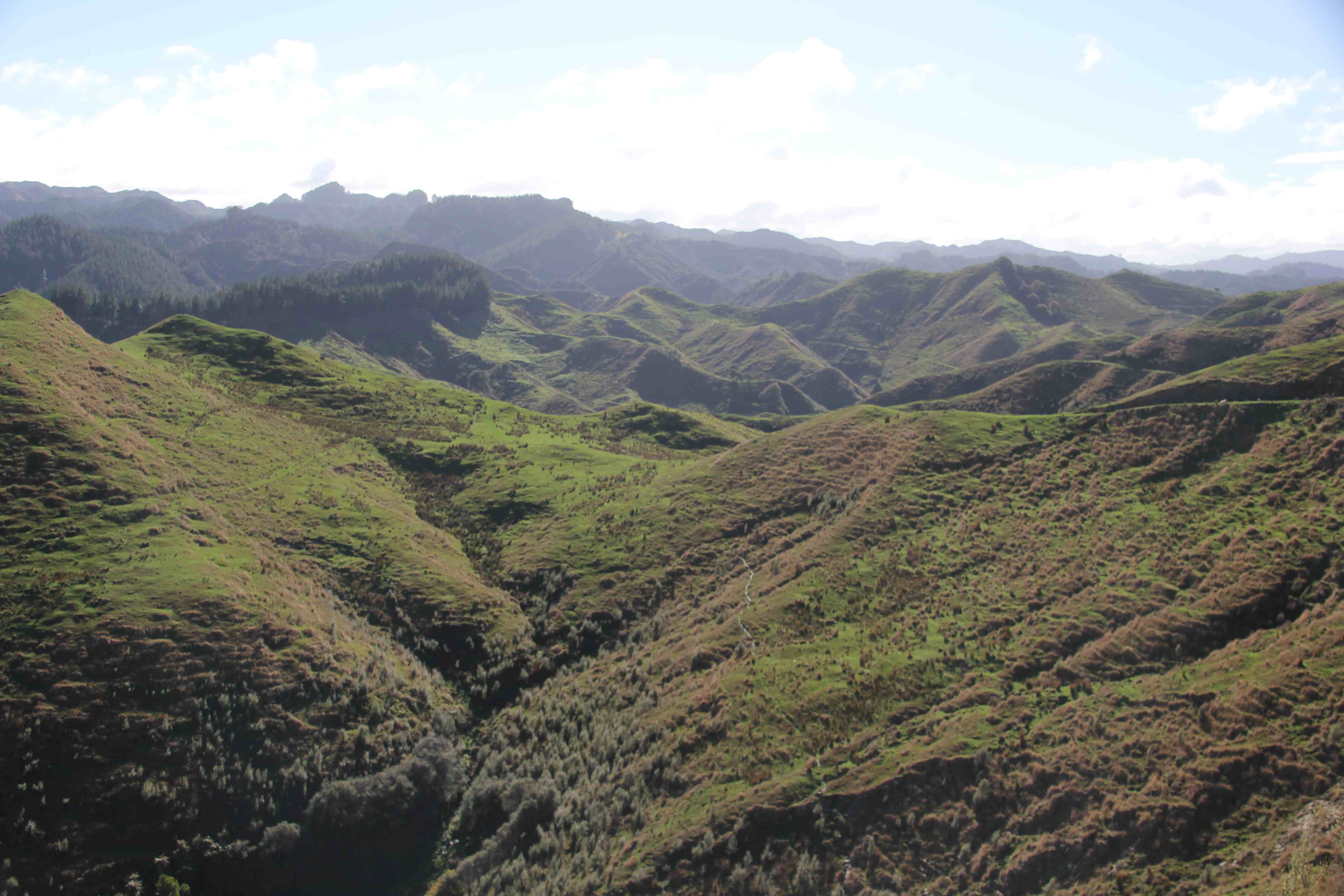
 It all looks good on the map, but when you are traveling through, it takes a lot longer time than you planned the night before. Unlike in the Unites States, all of the highways are two lane and curvy and travel through this sort of topography
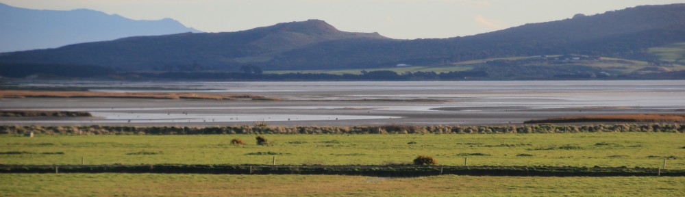
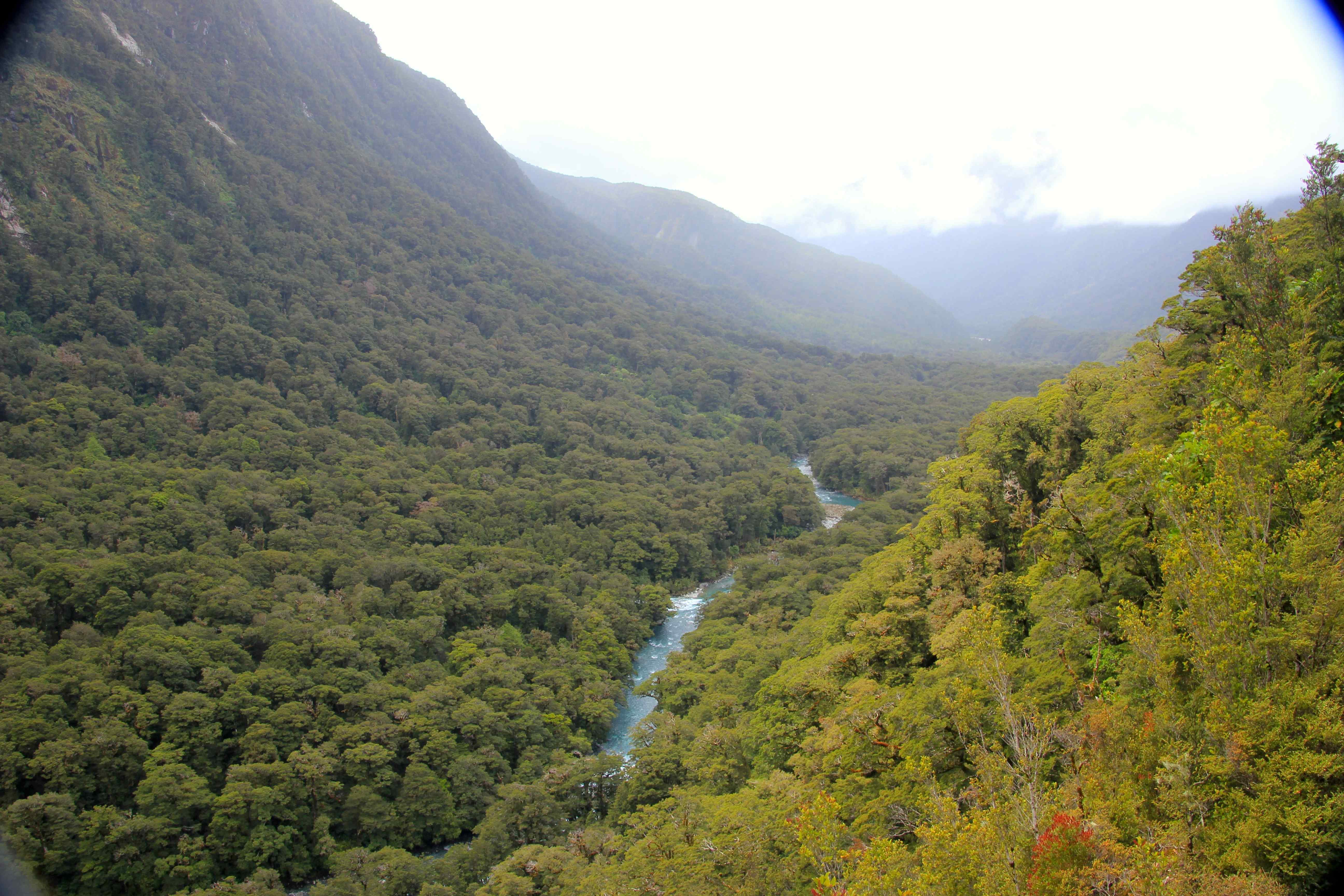
 This would have all been forested at one time. In fact, almost all of the pastures and open fields in this blog would have been forested and would have looked like this picture taken on the Milford Road on the South Island.
 Once we crossed from the South to the North Island (to the tune of $350 I might add), we disembarked in Wellington, capital of New Zealand. It is a beautiful city and a little reminiscent of San Francisco.
 In more ways than one. If one looks at where the Australian Plate and the Pacific plate meet on sees eerie similarities

 From an earthquake standpoint, pretty much everywhere in New Zealand is a bad place to be. There are multiple earthquakes on a daily basis. On my birthday, May 18, there were 4, while on Emily’s birthday on May 20, there were 5. Scattered all across the islands. One can see a daily log at http://www.geonet.org.nz/quake/felt.
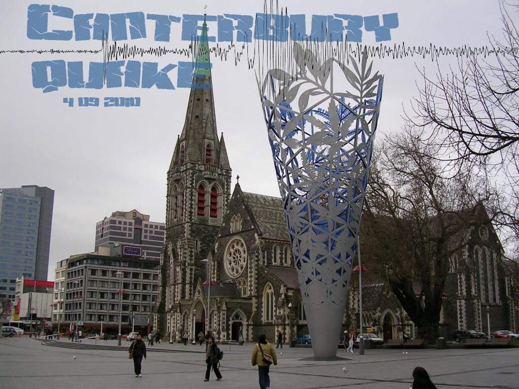
Here is a photo we took last fall (I mean, spring) of Christchurch city center 2 years after the last earthquake The cost of rebuilding is currently estimated to be about $40 billion (which in the US would be over $400 billion on a per capita basis). Some economists suggest that it will take over 50 years for the New Zealand economy to recover (whatever that means).
The first time Michelle and I were here in 1997, this is what the Christchurch cathedral looked like (Google photo)
 And here is what it looked like after the quake (Google photo)
 There is some talk about the Catholic Church and the Episcopal Church combining resources and rebuilding a single cathedral. I find that this practicality reflects the Kiwi spirit well.
Back to the trip. On the day we drove to the ferry, north of Kaikoura, we had our first snowfall, along the coastal mountains.
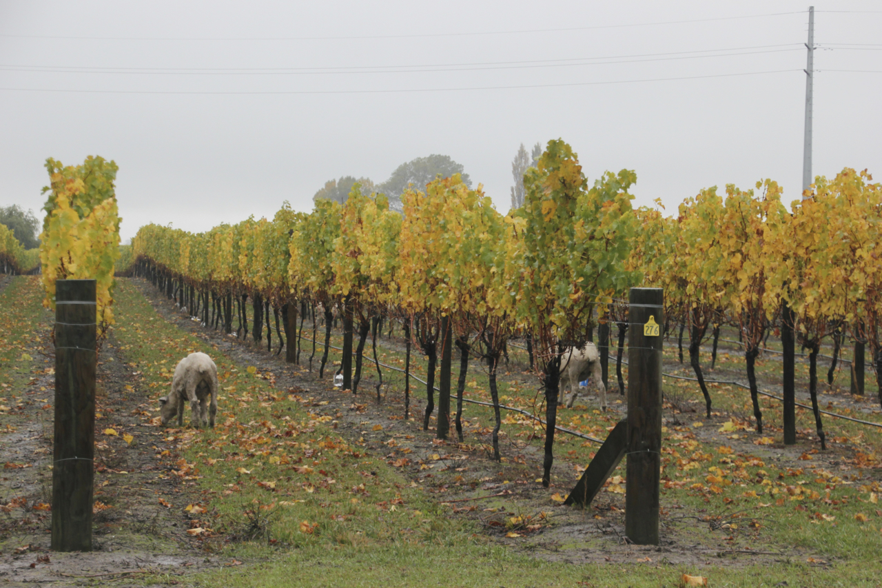
 We passed a vinyard that we thought Riley would find intriguing
 And as with almost everywhere else in New Zealand, we found sheep.
 And then just before we reached the ferry, between Blenheim (where I almost took a job) and Picton…it rained some more
 Finally, we made it to Wellington, one of New Zealand’s earliest areas of (Pakeha or European) settlement. The photo below is taken from the harbor at Te Papa Museum in the city center, of Mount Victoria. If you look very closely you will see a black rider sniffing for hobbits in the trees up there.
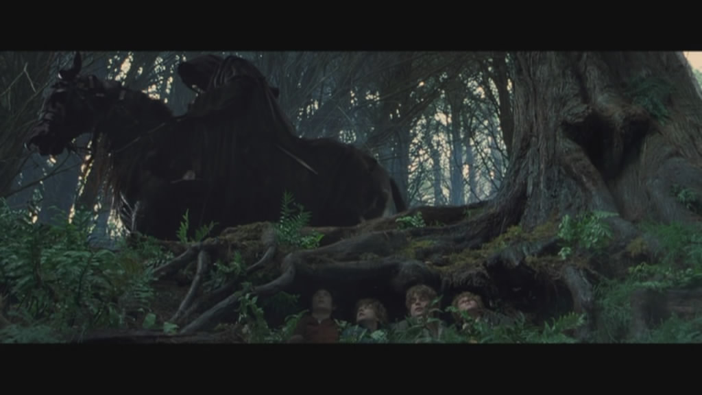
 Here is a still photo from the Lord of the Rings
 We went in search of the hobbits and we found their little hiding place. It was obvious. What the hell is wrong with those black riders? They had amazing powers but they couldn’t find four little hobbits hiding in a Wellington city park?
 The hobbits were right there !! What was his problem?
That night we stayed along the river in Whanganui. (In Maori, the ‘wh’ is pronounced as an ‘f”, as in “whuck you”. Of course this really begs the question, if you are using the Western alphabet for a polynesian language and you want to use a combination of letters to make the ‘f’ sound, why not simply use the letter ‘f’?)
 After spending a lot of time in the car on the long and winding, two lane, curving, 50 mph (maximum) roads, we made it to Tongariro National Park, one of my main goals for the trip north. It was a soggy, drizzly day. But in New Zealand, if you let soggy and drizzly stop you, then you may as well stay indoors, take your Prozac, and watch Maori TV.
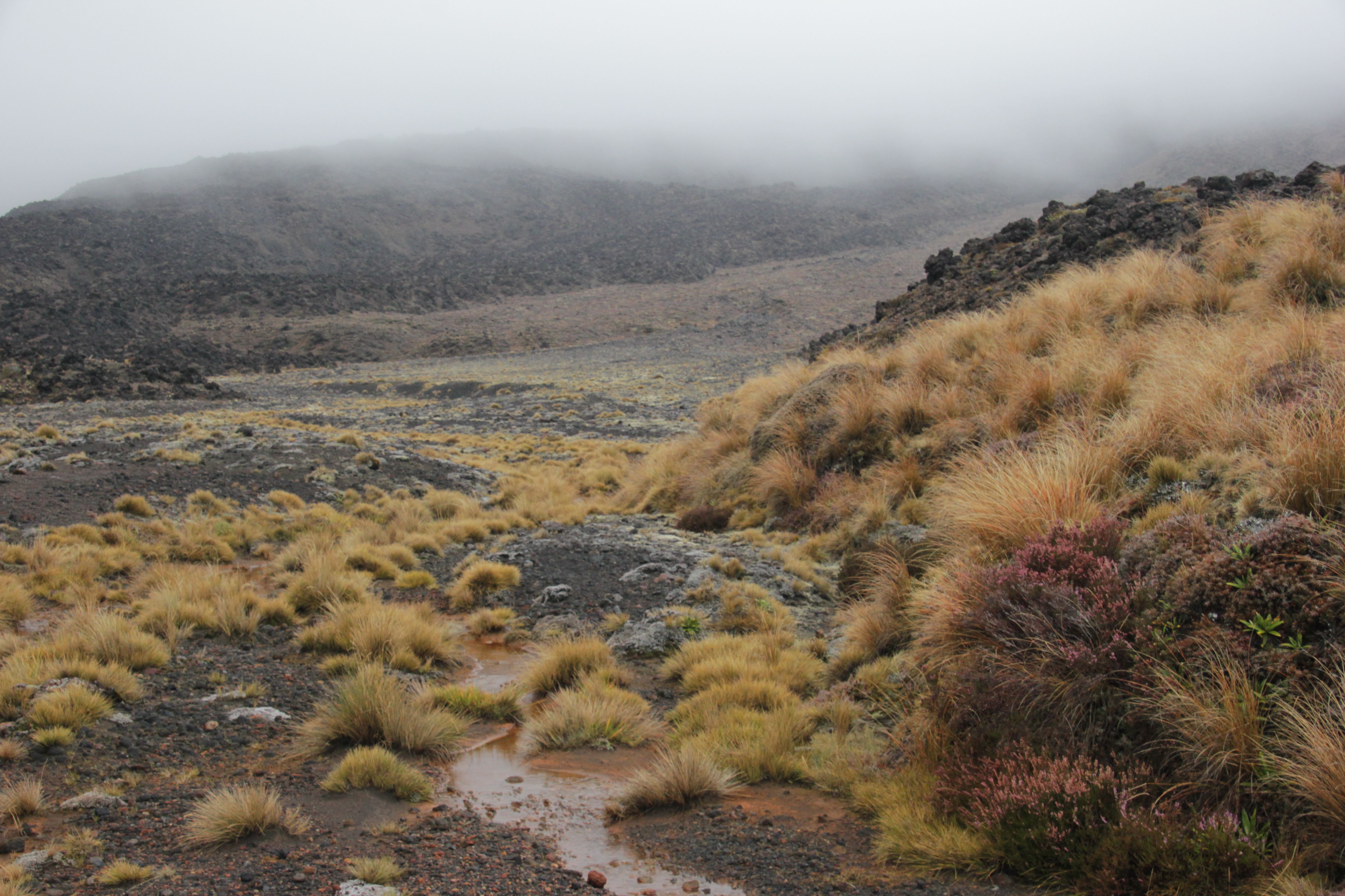
So we tackled the mountain. It is a 5 hour walk to the pass but I told everyone that if it rained hard we could turn back. Here are some photos from what was ultimately only the first attempt.
Approaching from a distance one can see the three volcanoes towering above the plains.
 Mount Doom is straight ahead. One wonders how Frodo ever found his way there. Nevertheless, we made the effort and once we got on the trail we could see for miles.
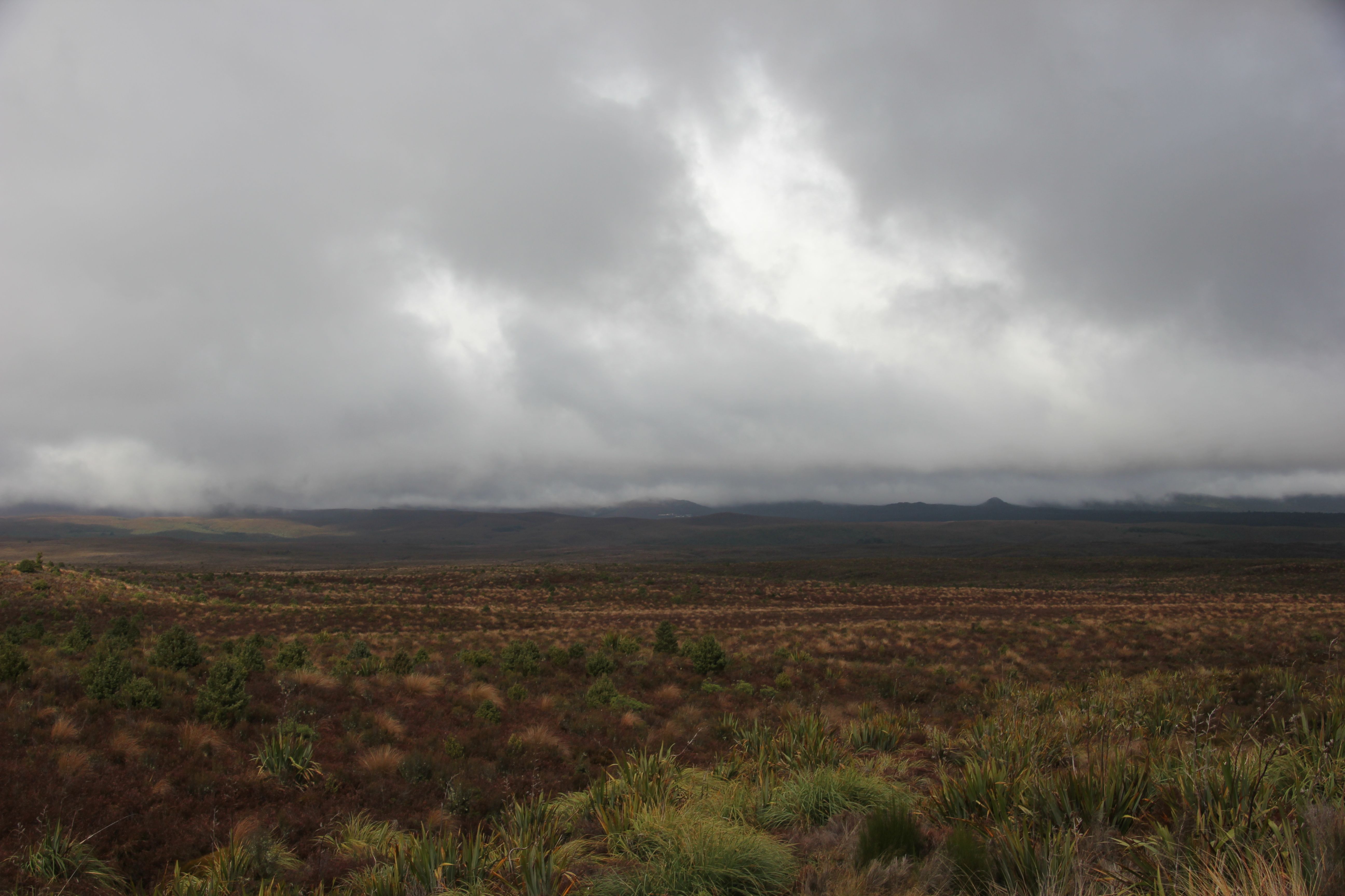
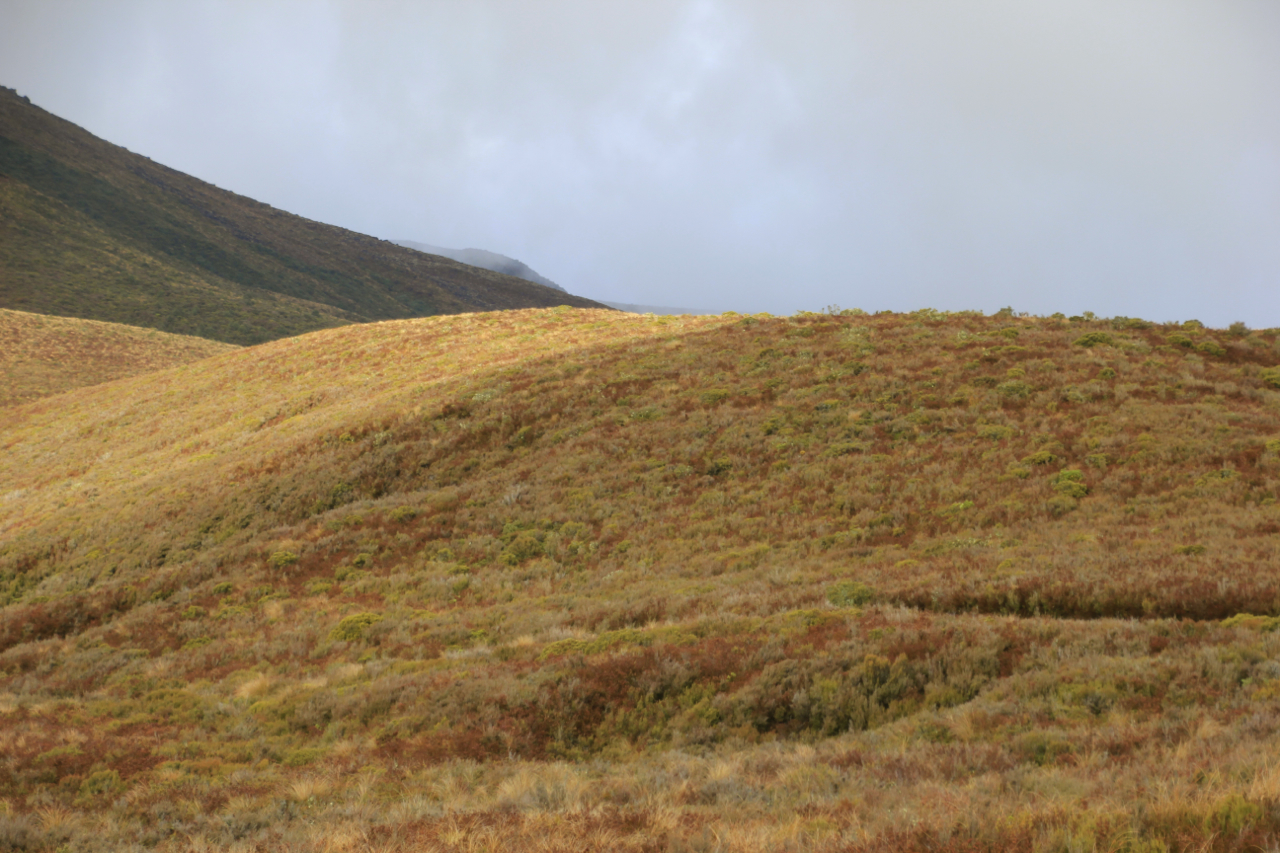
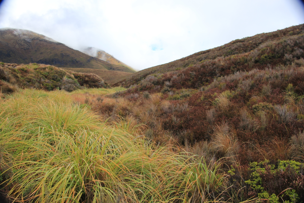
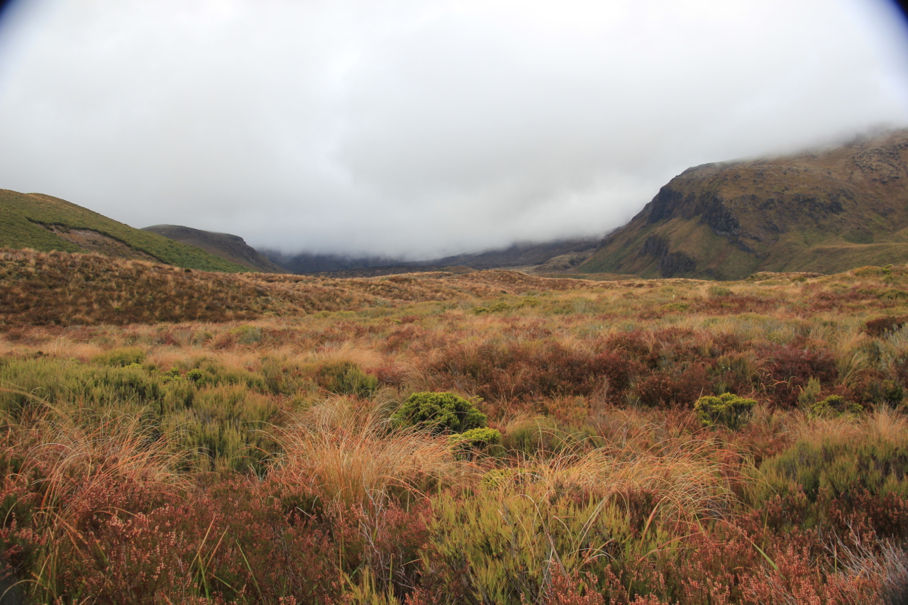
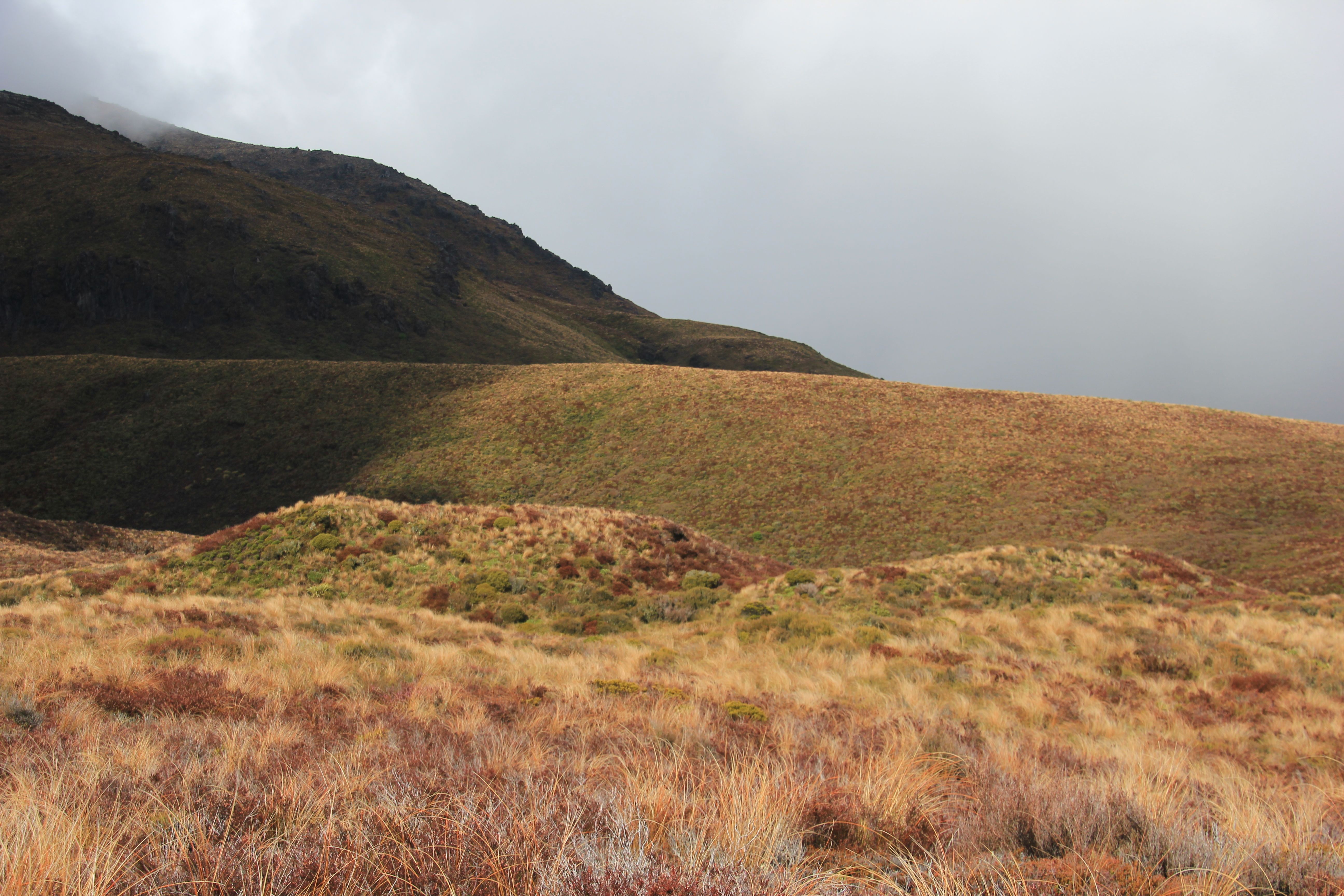
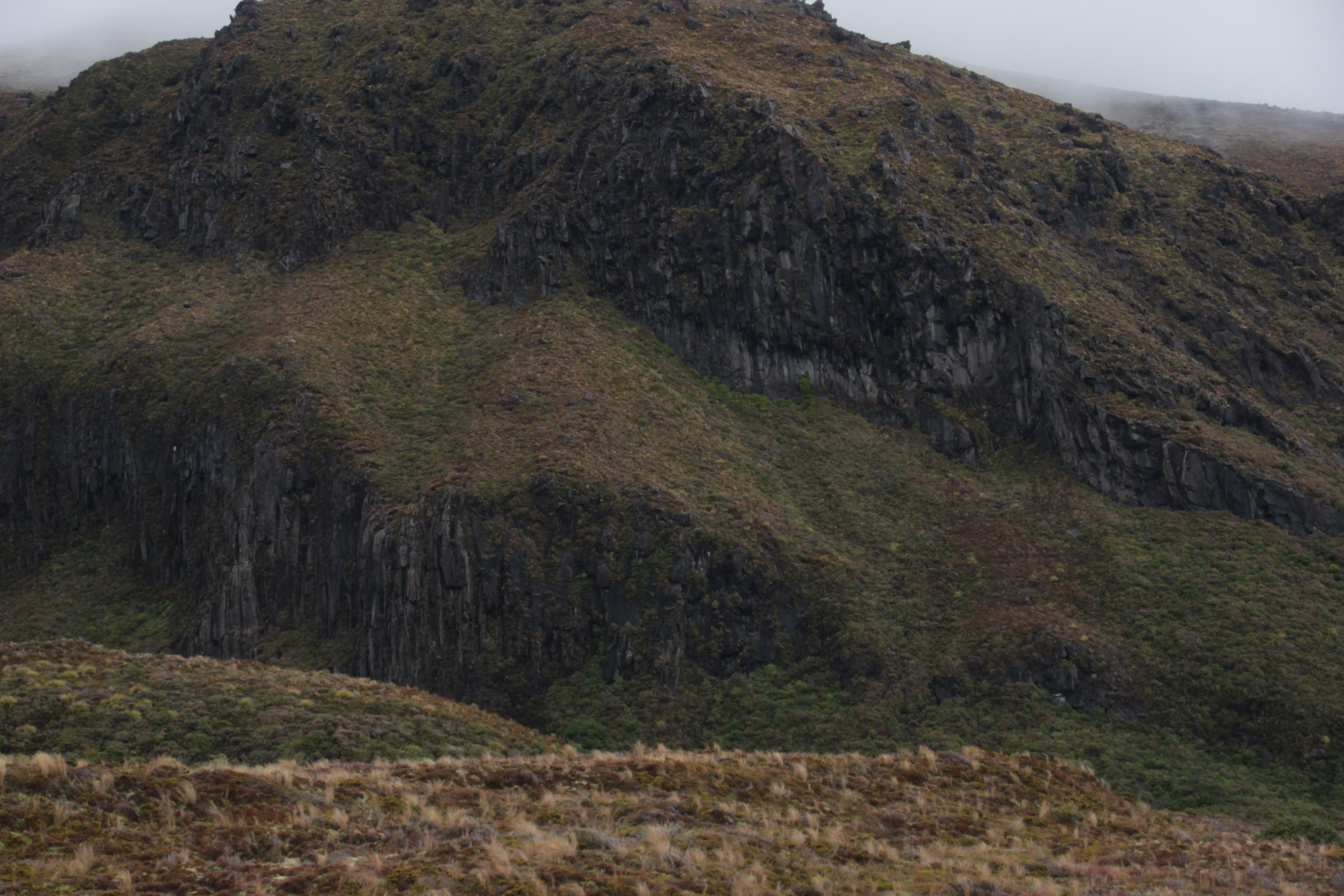
 All right, so we couldn’t tell the difference between a volcano and a treeless plain, but the scenery was still beautiful.
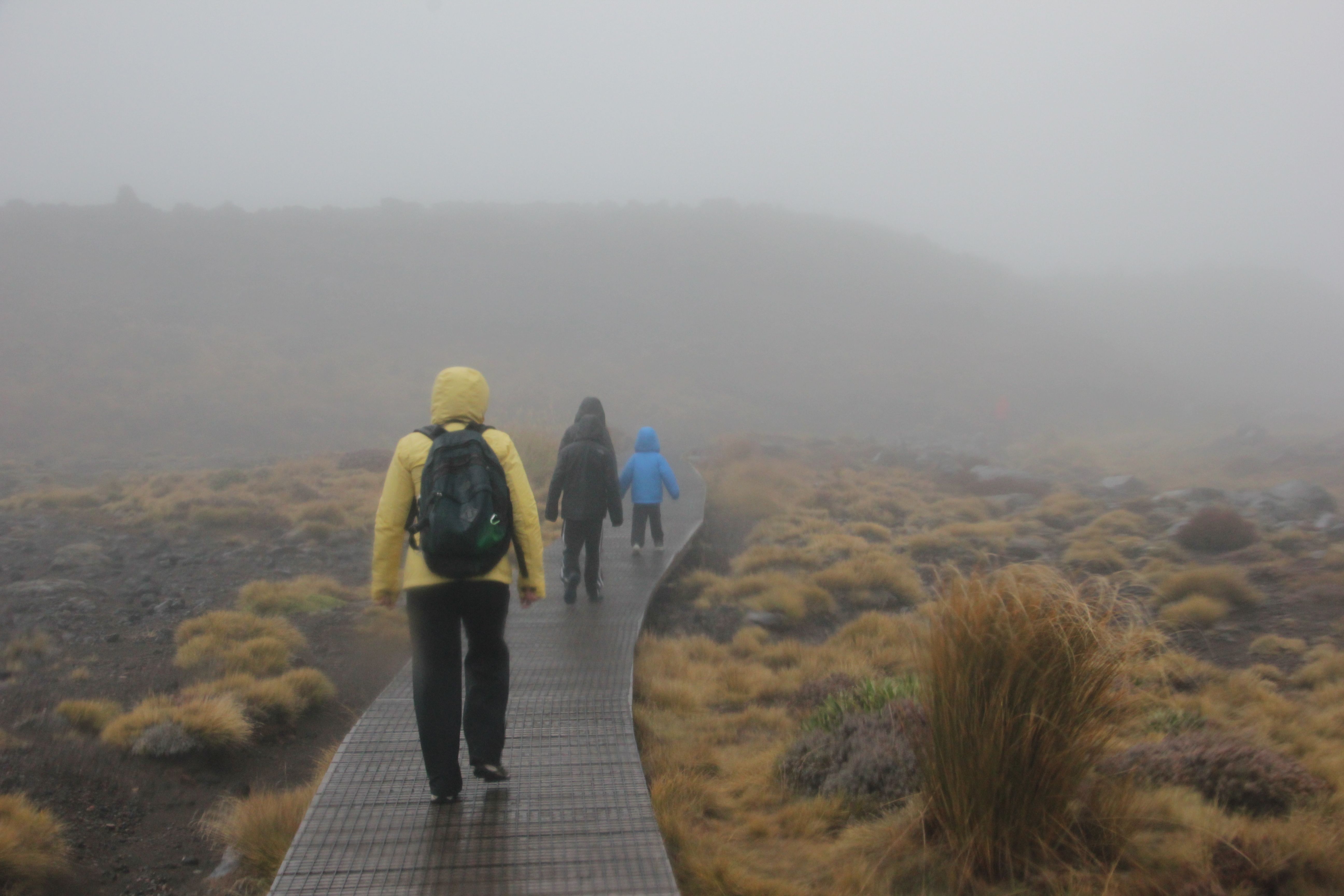
 The kids started out well

 So we walked on


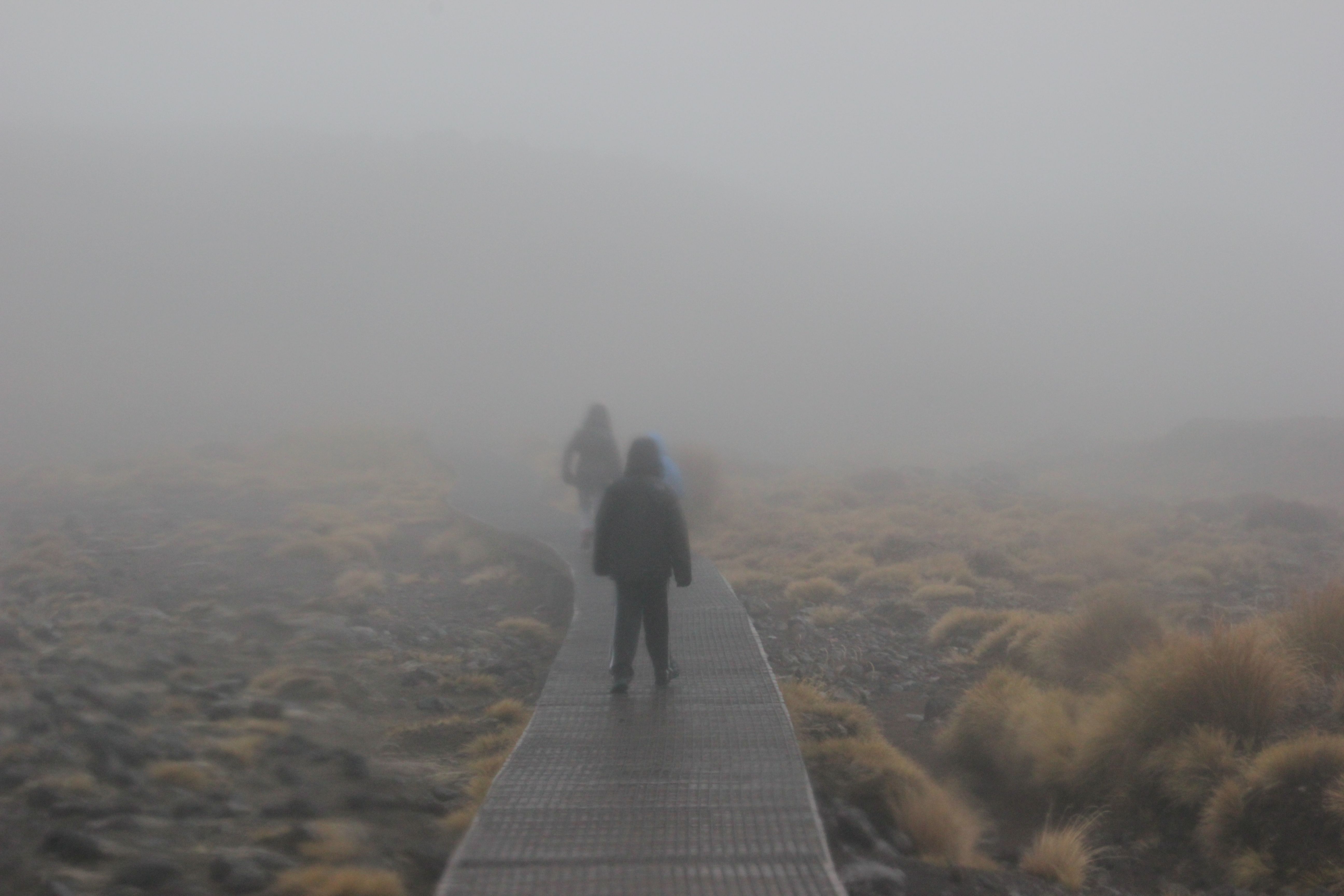
 Then it started to drizzle a little harder

 And harder
 Until it was time to turn back (at the 2 hour mark)
 So after two (less pleasant hours) of working our way back to the car park, the expressions were not as enthusiastic
 To be continued….
