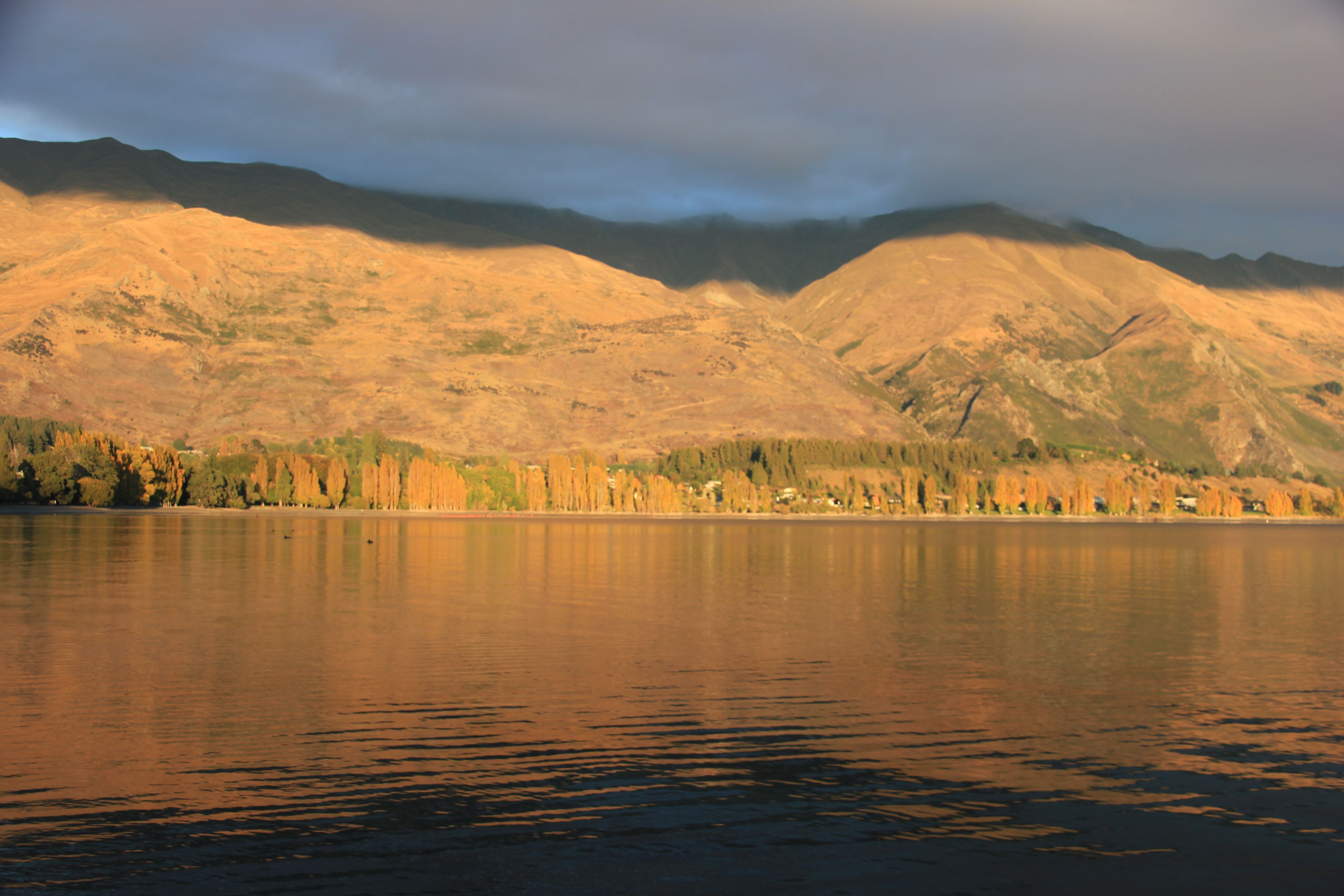
The last posting was from a single weekend in Wanaka during the last major spring snowfall, but we have been there several times over the course of the year. This is Lake Wanaka from the main beach in the spring.
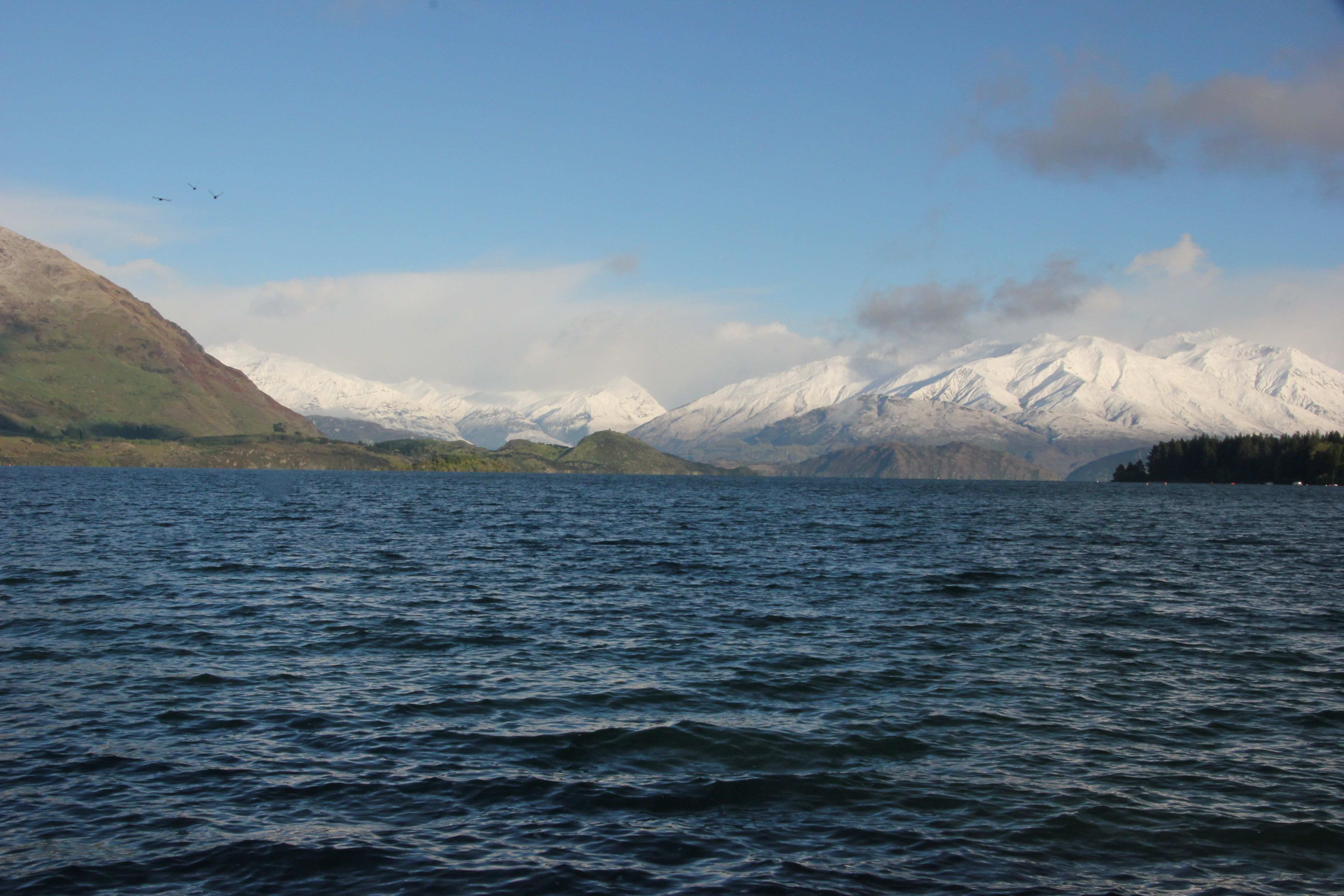 In the early summer morning hours, the views are quite different
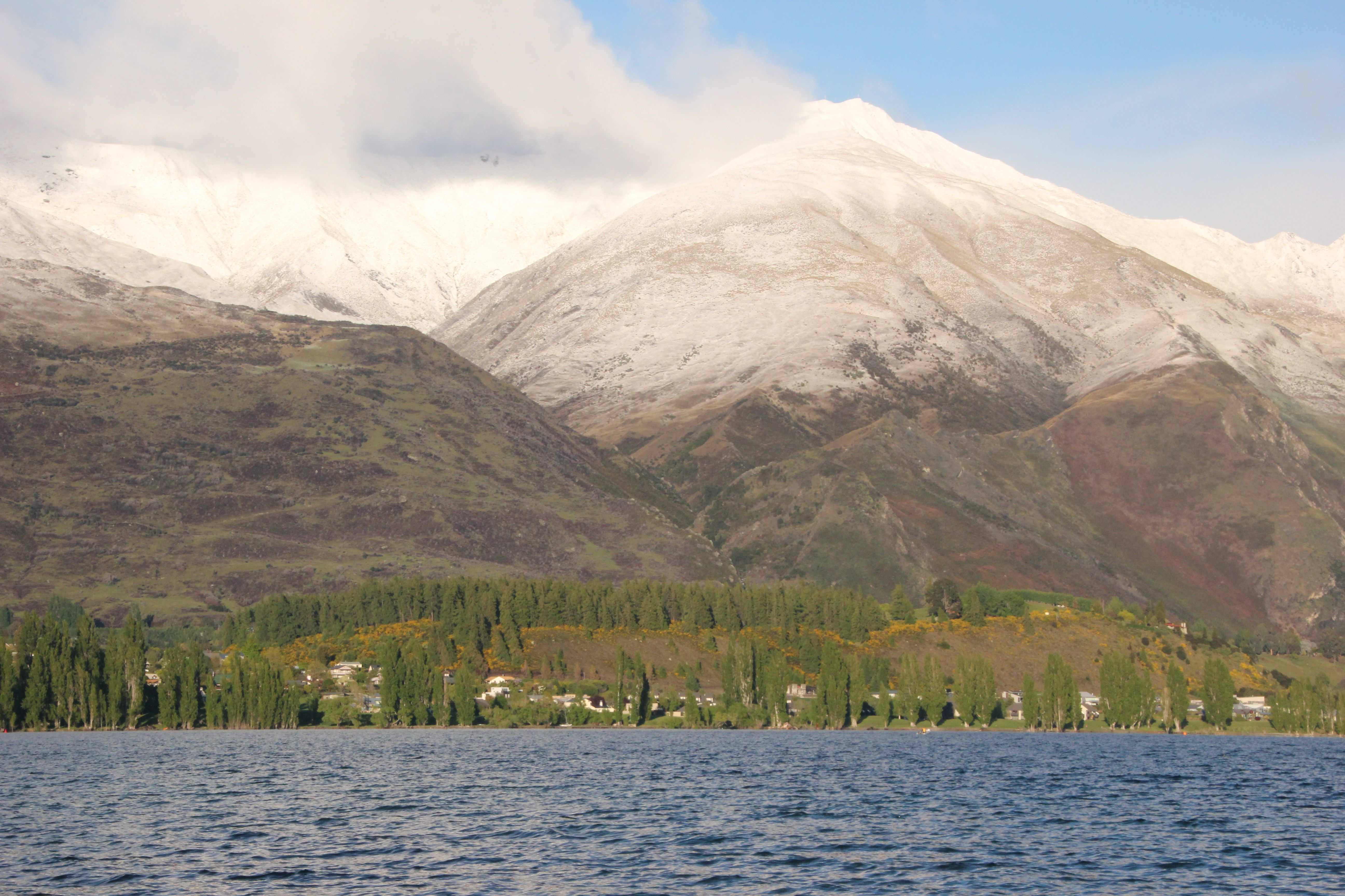
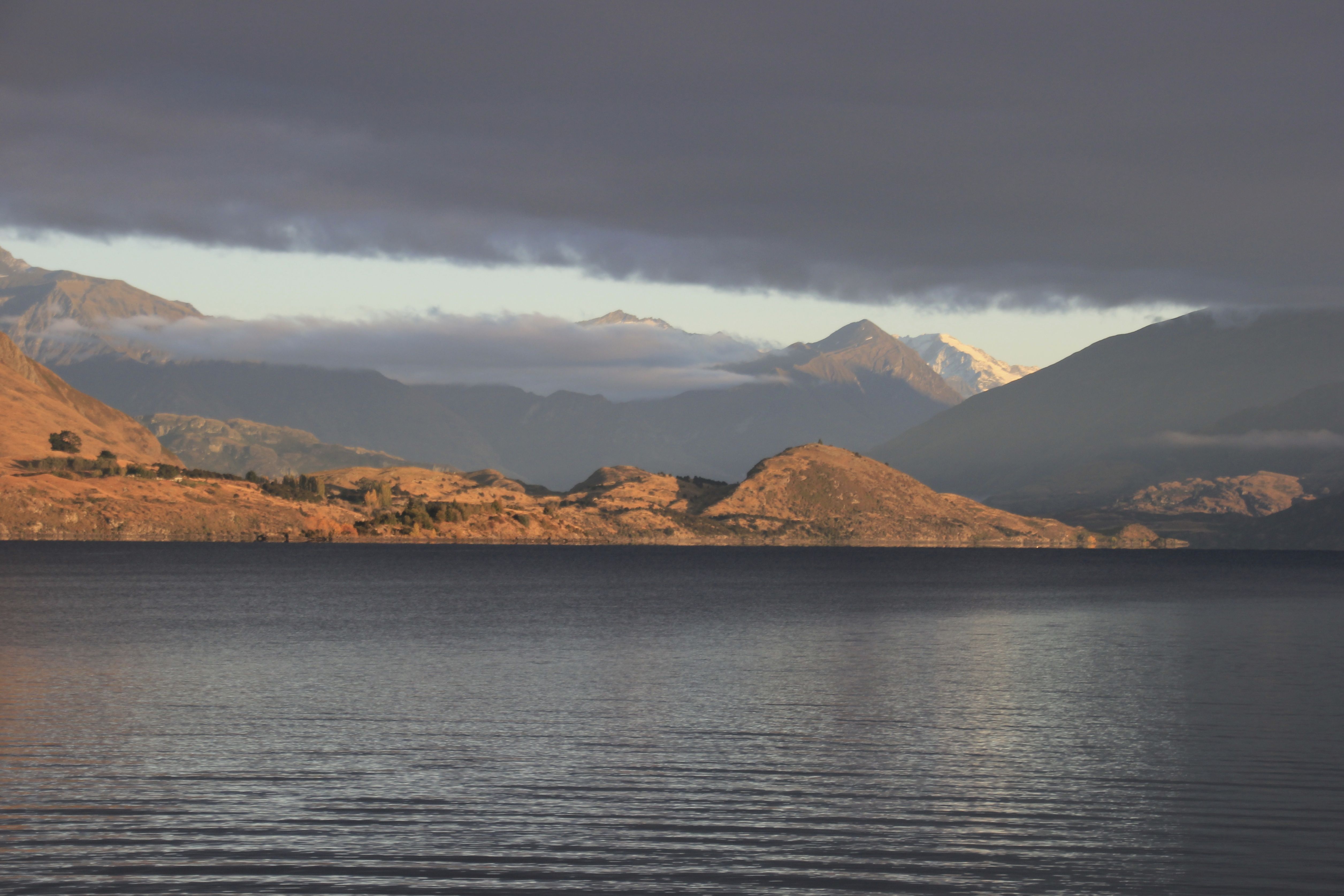 Again, summer and winter
 If one takes the road along the base of those mountains towards Mount Aspiring
There is a beautiful hike to Diamond Lake at this juncture

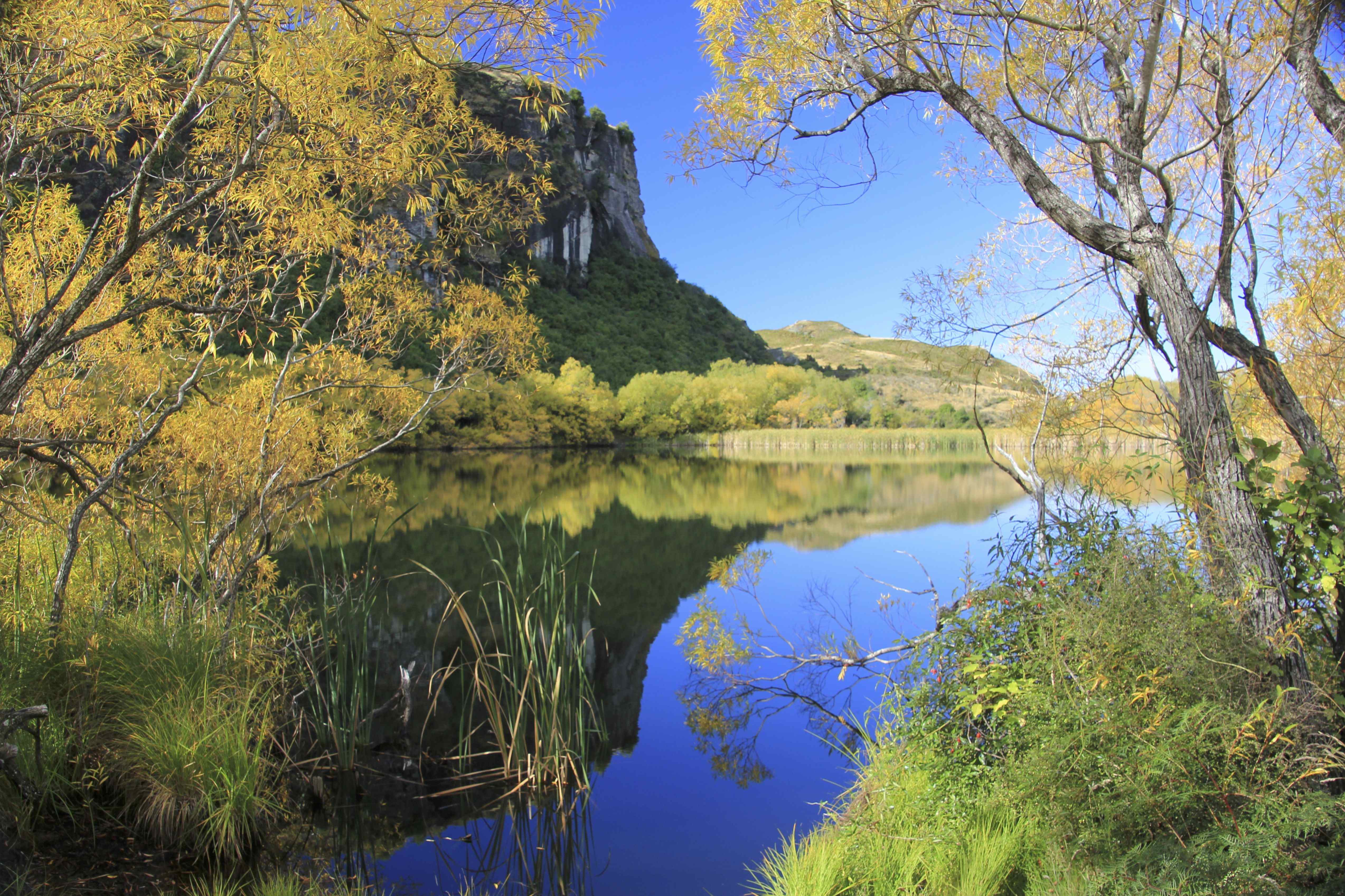
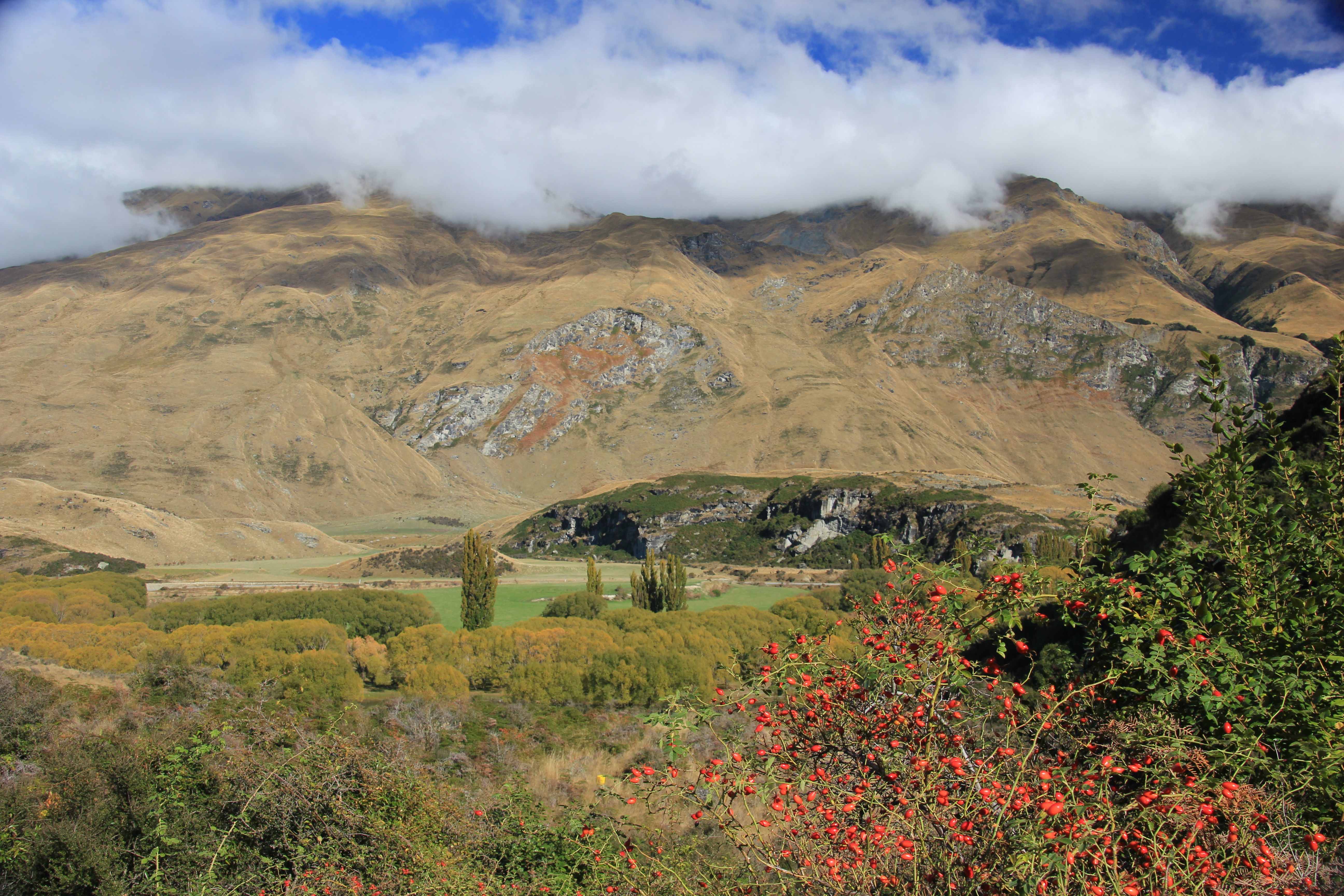 The actual view at Diamond Lake took our breath away
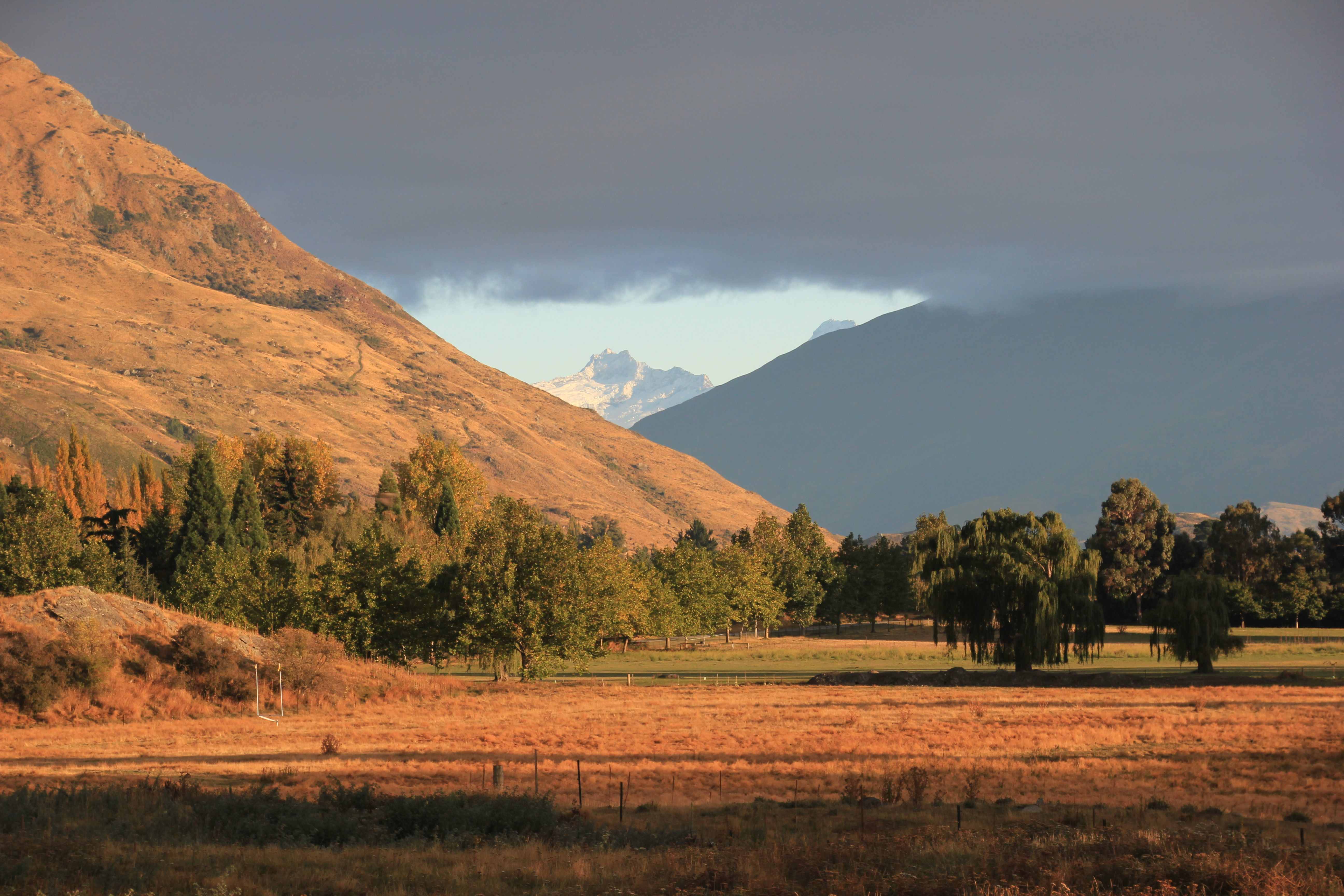
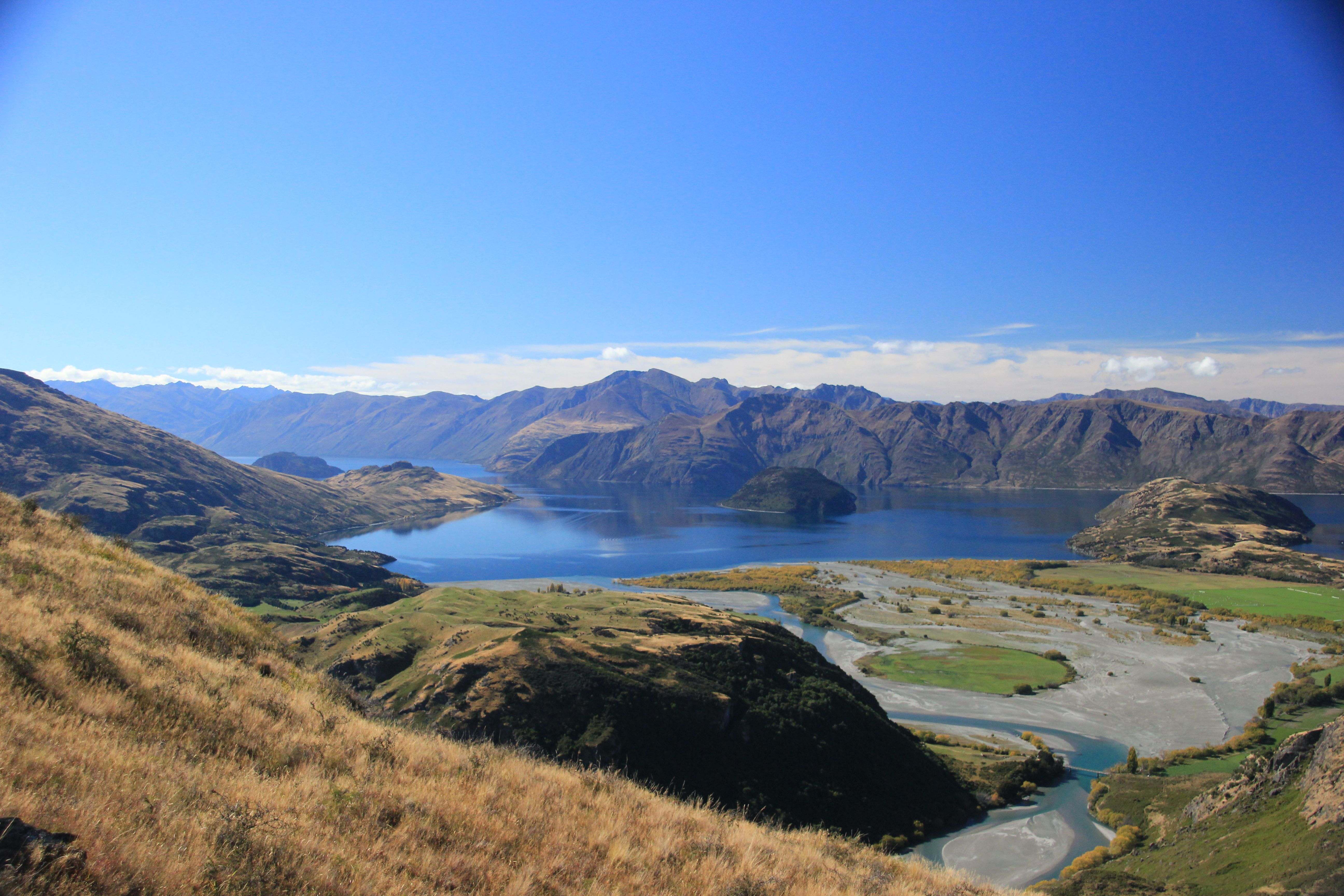
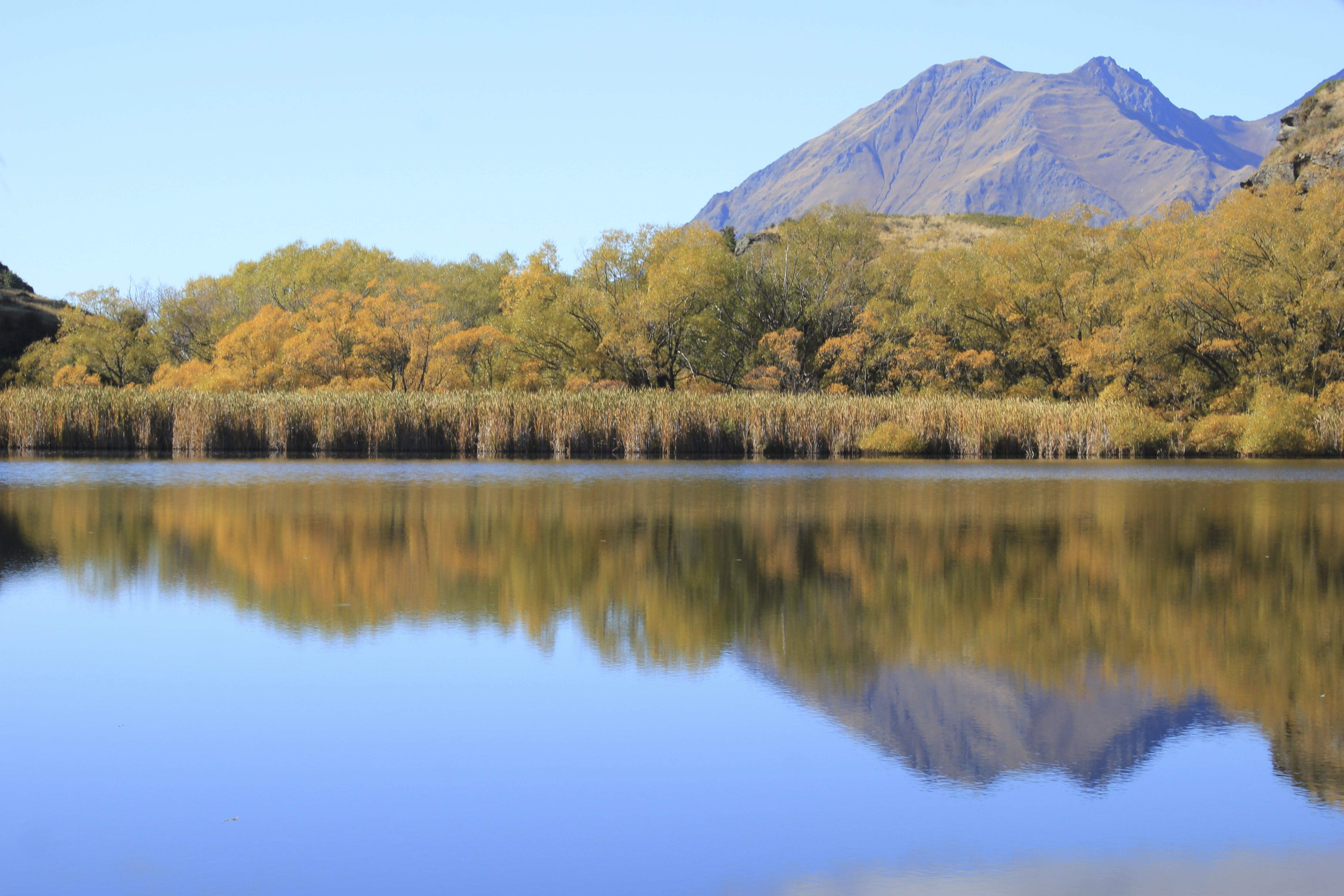 Up past the lake, the views were extraordinary. The first photo is back towards Wanaka, where the earlier photos are taken from
 And in other directions
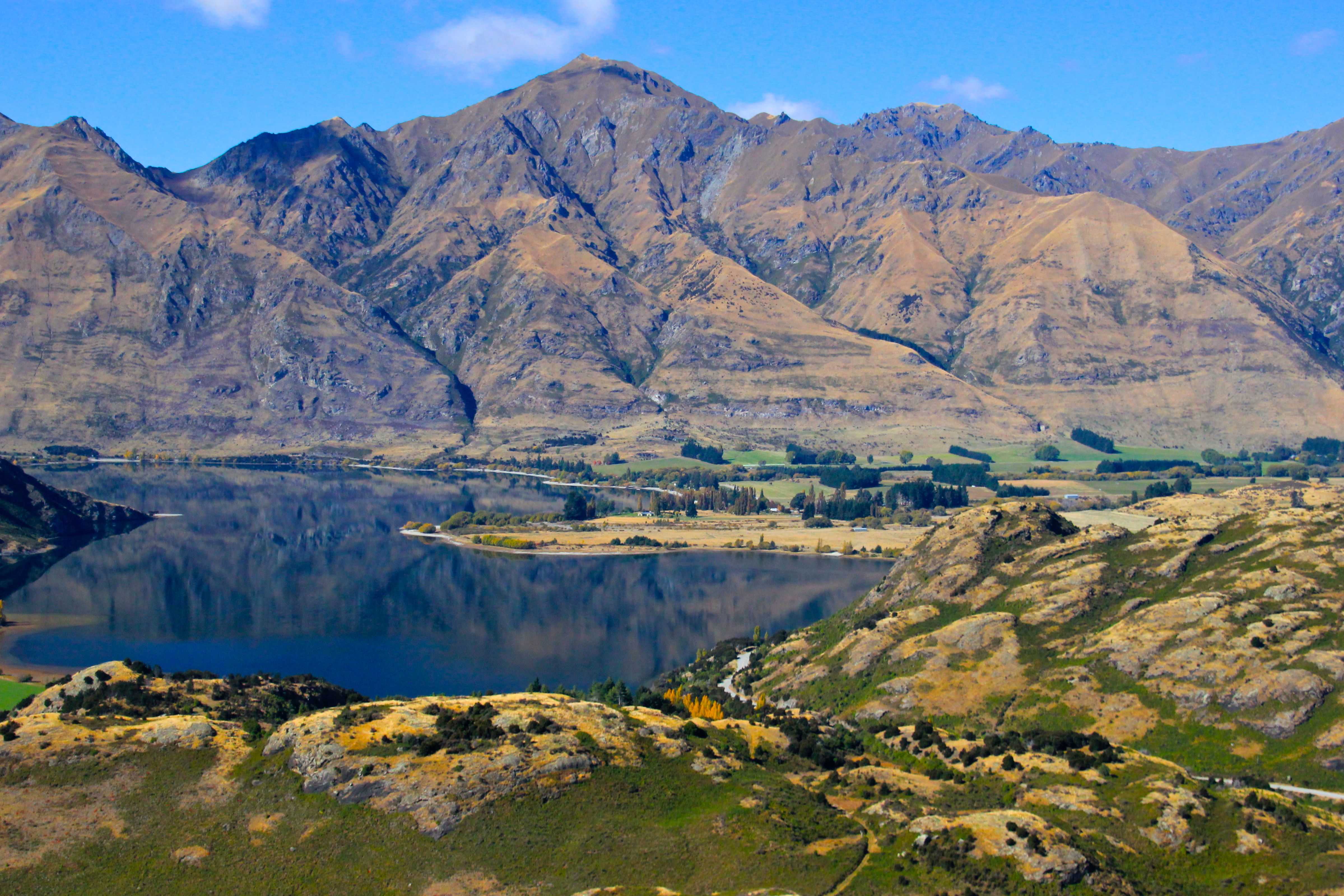

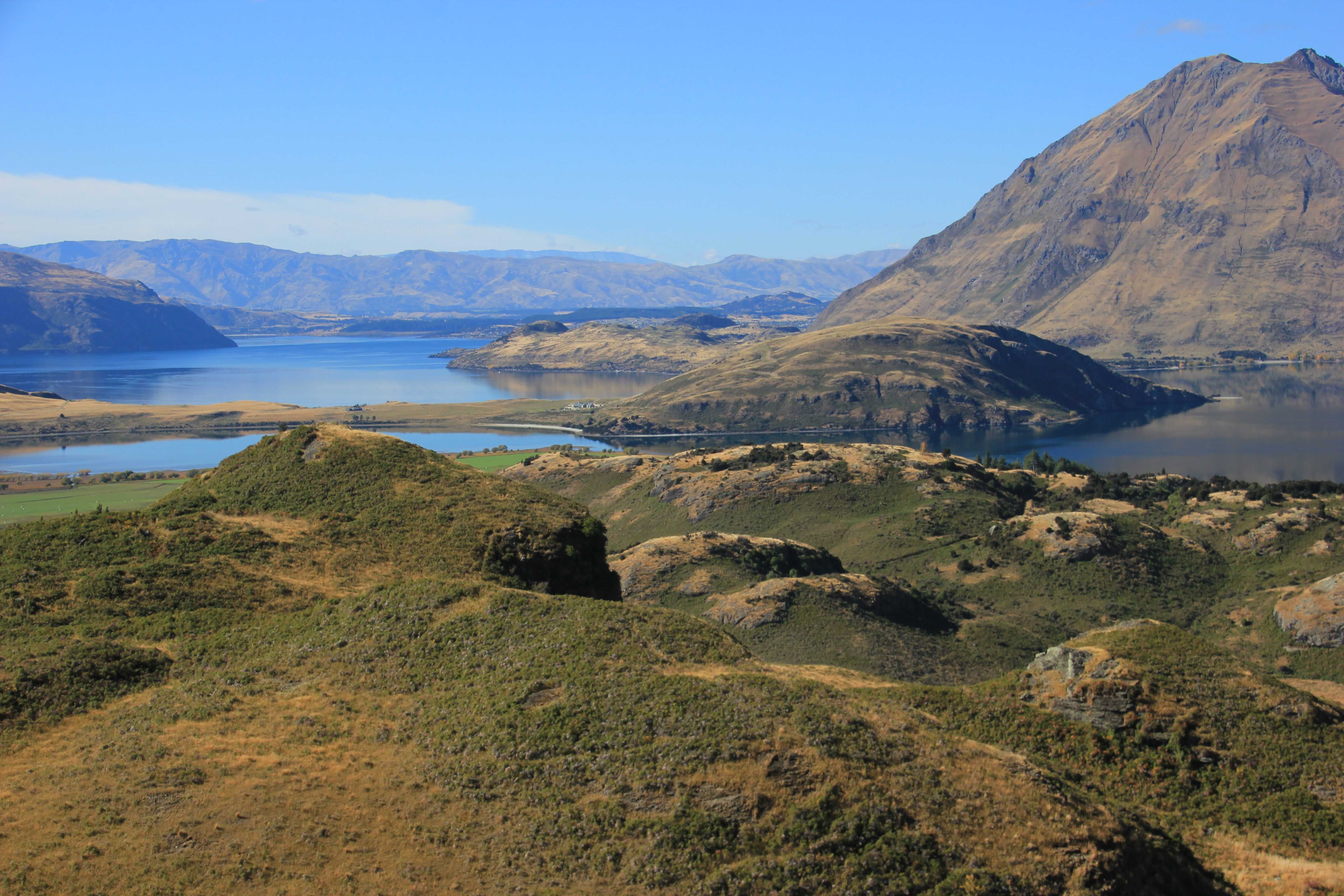
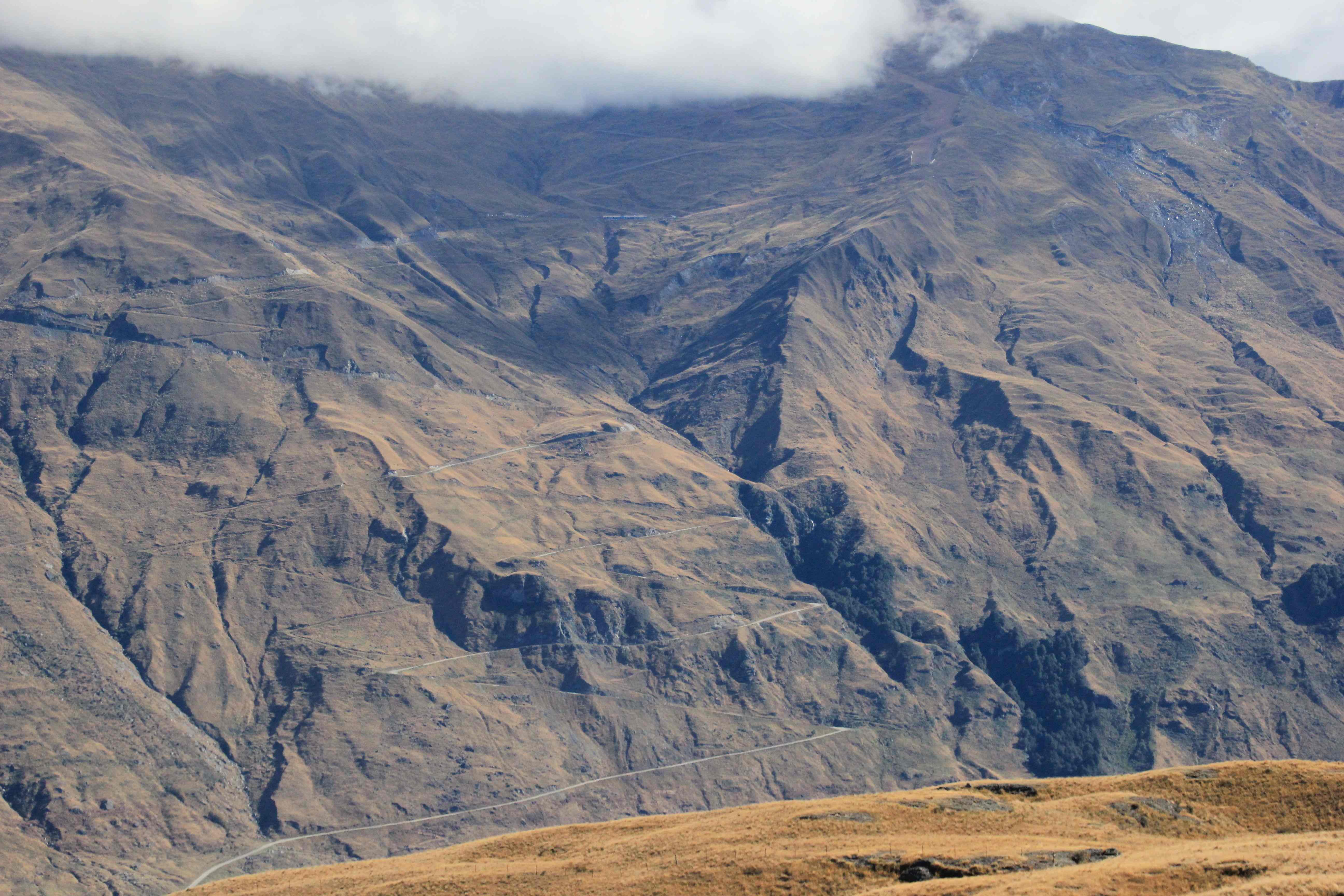
 From this vantage, you can gain a unique and disturbing perspective on current New Zealand land management policy that is reflective of a broader and more conservative trajectory in NZ political and economic development, similar to what is being seen in many developed nations around the world, including the United States.
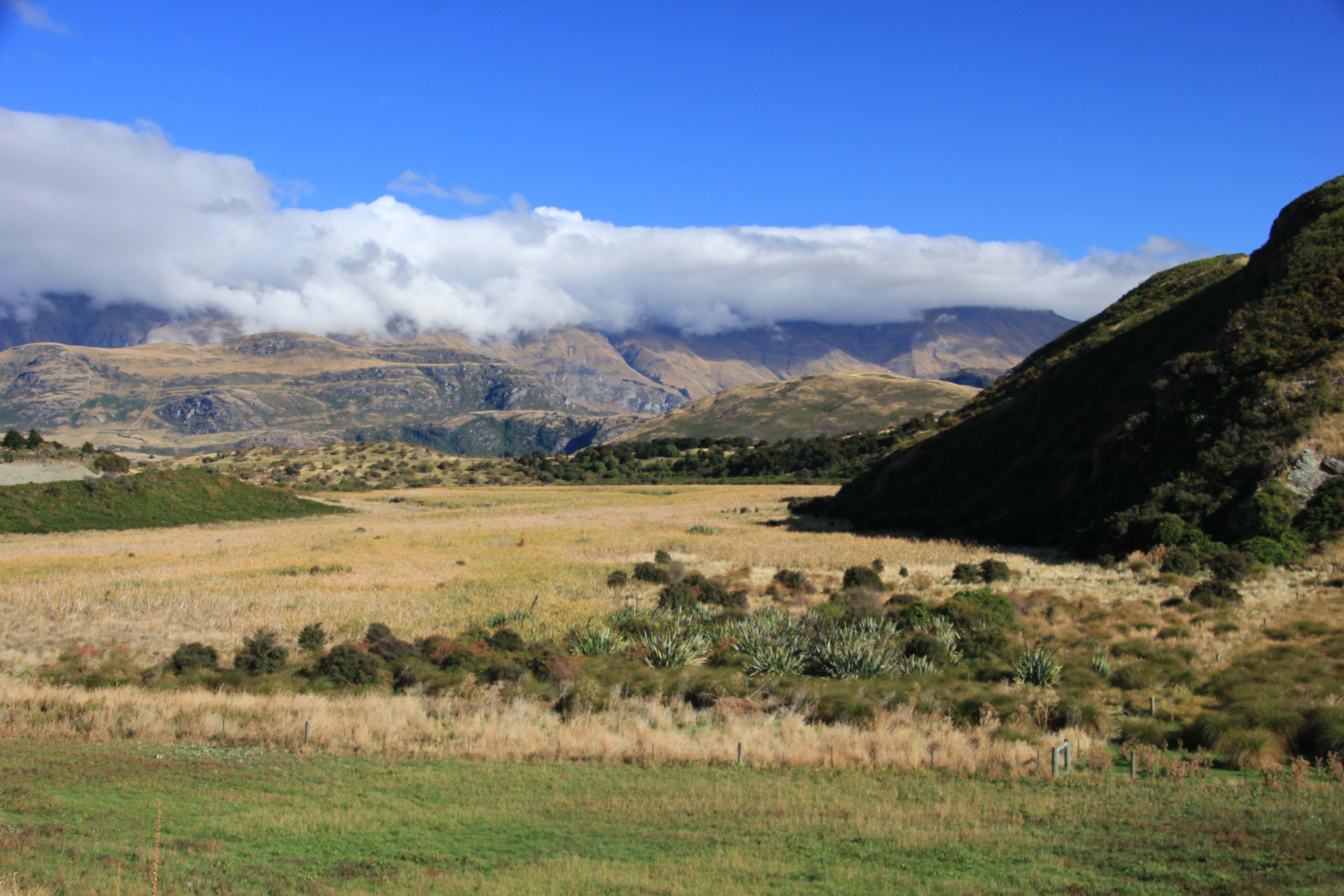
Let’s start with the view
 This is Glendhu Station. Currently 40% of the South Island is administered by the Crown. (NZ is considered a “parliamentary representative democratic monarchy” and Queen Elizabeth is still considered the Head of State). Of this land, 4 million acres are pastoral leases, renewed in perpetuity. Runholders do not own the land, but they are permanent lessors of the land and have permanent pastoral grazing rights in the high country (which is different than the more settled farmland you have seen near Southland, where I live). As part of this contract system (dating back to the late 1800s), there is no intensive development of this land, as it is owned by the Crown. One of the byproducts of this setup is the stunning scenery, with open vistas, unspoiled by development. This is part of what makes New Zealand New Zealand.
But it the late 1990s, a conservative government, bowing down to the religion of capitalism and private ownership, began a process of land divestiture called tenure review, where it began to privatize these stations by buying sensitive and less productive land (mountaintops) and privatizing more “productive” land, i.e. lake front.
So while the mountaintop hike to Diamond Lake (298 hectares) remained in government hands, the runholder acquired the remaining 2936 hectares (91%) of the land that you see in the photo. How did the deal shake out? The runholder paid $579,000 to develop 2/3 of his land while the crown purchased 9% of the “least productive” land for $584,000. Do the math on that. The government paid the runholder $5,000 to take 91% of the land you see in the photo of their hands and do as he pleases with 2/3 of that land.
A year later (2007) the New Zealand Herald reported that the new owner of Glendhu Station was planning to build a golf course and villas for 200 people. The new golf course alone is projected to be worth $10 million.
I don’t care how you do that math, there is something deeply flawed in this process. A process by which the actual owners of the land (the citizenry of NZ) knew little or nothing about until an American Fulbright scholar blew the lid off this process in 2008.
So the People have purchased a beautiful mountaintop for $5,000 and lost the view in the process. Tenure review has been completed (prior to Ann Bower’s reporting) for many sensitive areas in the South Island and the views in this blog may look radically different (shall I say more American?) in the next 10-20 years.
But I digress. On the way back down, I had to snap another photo of the lake
 Further down the road you can see the road to the Treble Cone ski field
 This is the road to the Rob Roy Glacier, but as noted earlier, we were never able to get up to the high country without destroying the car.
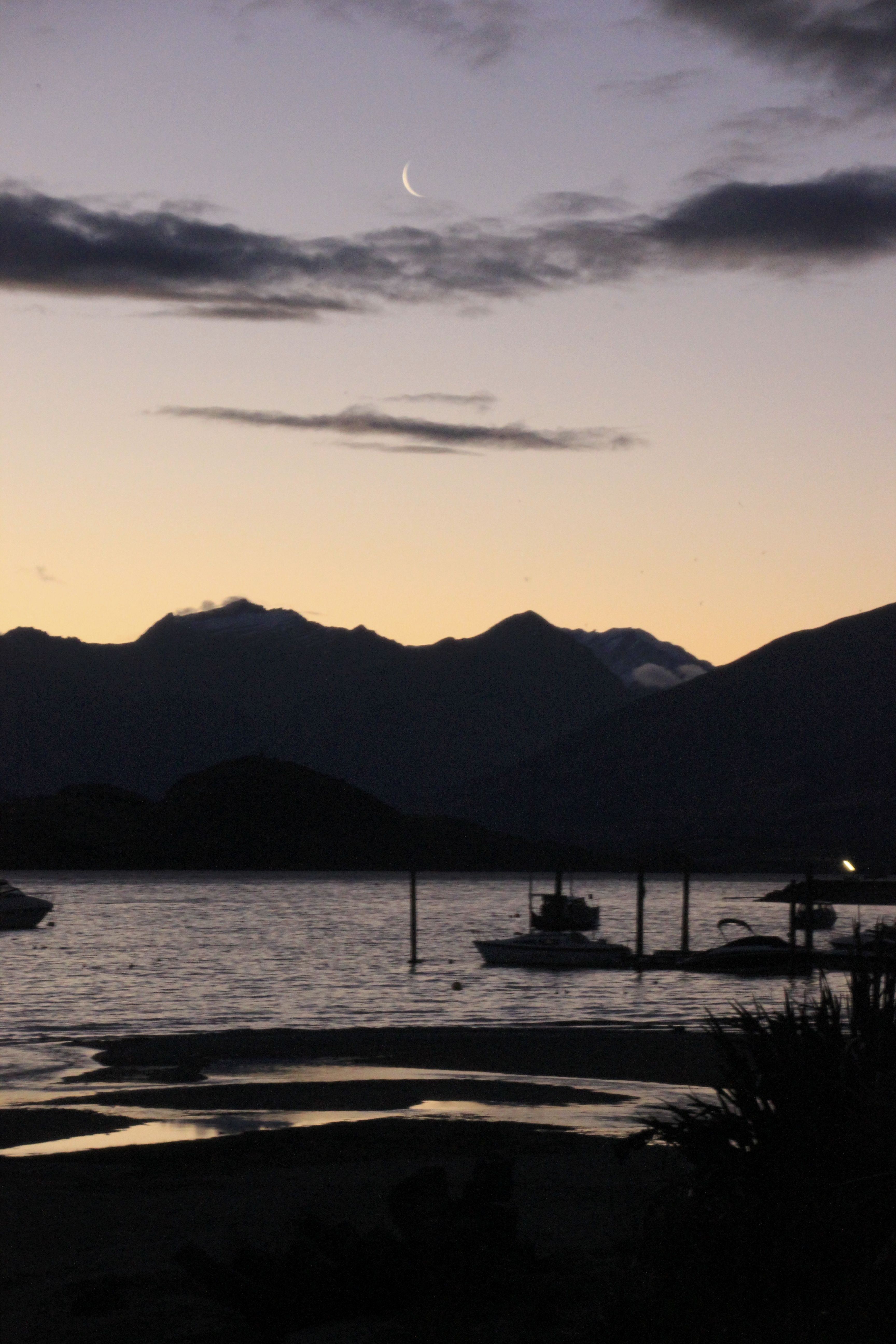
 Back in Wanaka, at the end of a long travel day